City guide

Santiago

3 published routes

3 walks138 places on the map
Choose a routeSantiago attractions on the map

3 city routes have been published; other walks are being prepared and will be added gradually.
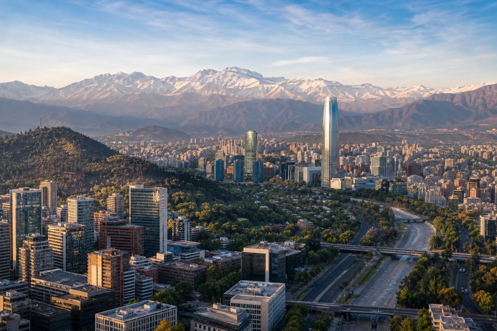
Generated editorial hero image for the city of Santiago

Routes

Interactive city map

Explore Santiago on the map

Start with 22 highlights or explore all 138 curated places.

138

Places to see

22 of 22
  1. Barrio París-Londres and Londres thirty-eight: story on the “Historic Center of Santiago: From Colony to Republic” route

    The final stop will link one man's disappearance to a survivor's testimony and a preserved address.

  2. Chilean Museum of Pre-Columbian Art: story on the “Historic Center of Santiago: From Colony to Republic” route

    You will learn why careful restoration sometimes has to leave a loss in plain view.

  3. Chilean National Museum of Fine Arts: story on the “Santa Lucía Hill, José Victorino Lastarria Street, and Chilean National Museum of Fine Arts: a city for the public” route

    A museum poster will become a document of an exhibition that had to wait.

  4. Former National Congress: story on the “Historic Center of Santiago: From Colony to Republic” route

    Eight days of parliamentary history will show how a demand to pass laws turned into a demand to dissolve parliament itself.

  5. Gabriela Mistral Cultural Center (GAM): story on the “Santa Lucía Hill, José Victorino Lastarria Street, and Chilean National Museum of Fine Arts: a city for the public” route

    This is where the conversation begins about who opens large city buildings to the public, and why.

  6. Hidalgo Castle: story on the “Santa Lucía Hill, José Victorino Lastarria Street, and Chilean National Museum of Fine Arts: a city for the public” route

    The former battery shows how a military structure was turned into a city museum.

  7. José Victorino Lastarria Street: story on the “Santa Lucía Hill, José Victorino Lastarria Street, and Chilean National Museum of Fine Arts: a city for the public” route

    This stretch will show why book tables remained part of an upgraded district.

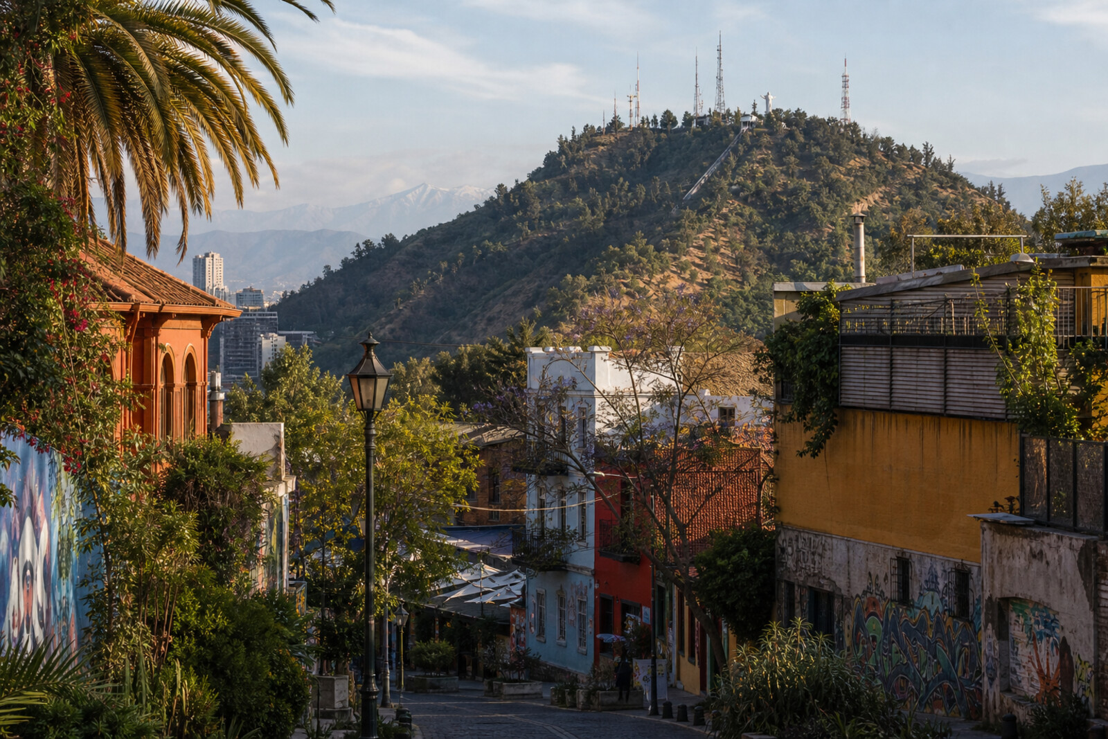
  8. La Chascona House Museum: story on the “Bellavista and San Cristóbal Hill: from the city's threshold to the summit” route

    A personal story explains the staircases, separate sections, and the transformation of a secret refuge into a permanent home.

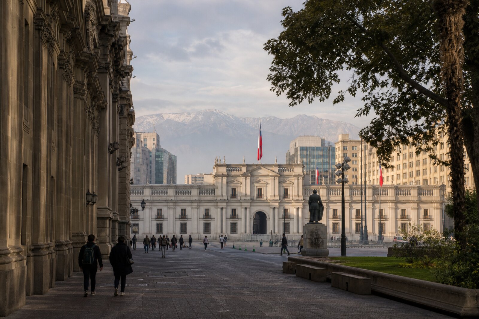
  9. La Moneda and the northern civic axis: story on the “Historic Center of Santiago: From Colony to Republic” route

    Here the story will reconstruct the events of the coup through the façade, the square, and the restored doorway.

  10. Mulato Gil de Castro Square and MAVI UC Museum of Visual Arts: story on the “Santa Lucía Hill, José Victorino Lastarria Street, and Chilean National Museum of Fine Arts: a city for the public” route

    A private initiative will bring together here a redesigned square, an art collection, and preserved façades.

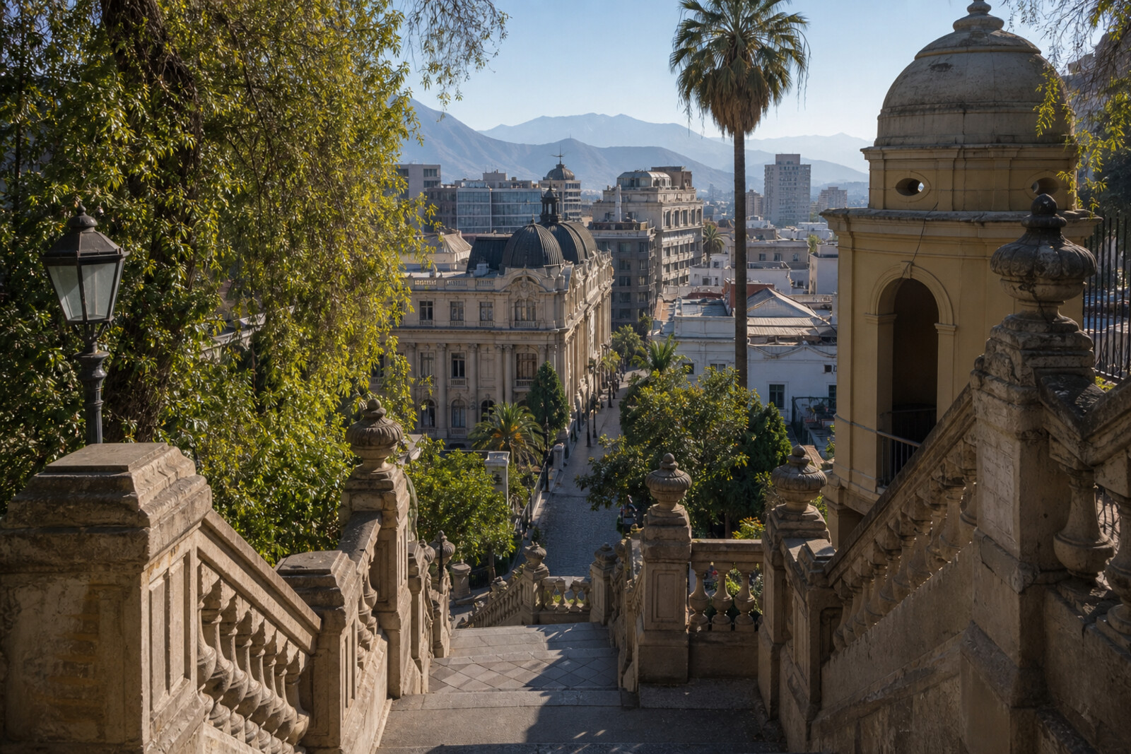
  11. Neptune Terrace: story on the “Santa Lucía Hill, José Victorino Lastarria Street, and Chilean National Museum of Fine Arts: a city for the public” route

    The fate of one statue explains how the ceremonial entrance to the hill was created.

  12. Palace of the Courts of Justice and Plaza de la Justicia: story on the “Historic Center of Santiago: From Colony to Republic” route

    You will find yourself on the site of a vanished hall where the country’s armed leader chose resignation over fighting in the capital.

  13. Parque Forestal: story on the “Santa Lucía Hill, José Victorino Lastarria Street, and Chilean National Museum of Fine Arts: a city for the public” route

    The finale will explain why the former floodplain was given over to trees rather than city blocks.

  14. Patio Bellavista: story on the “Bellavista and San Cristóbal Hill: from the city's threshold to the summit” route

    Here you will see how former printing properties were joined into an open pedestrian quarter.

  15. Pío Nono Bridge and Pío Nono Street: story on the “Bellavista and San Cristóbal Hill: from the city's threshold to the summit” route

    The crossing links a student episode, the fate of the old bridge, and the origin of Bellavista's main street.

  16. Plaza Baquedano (Plaza Italia): story on the “Bellavista and San Cristóbal Hill: from the city's threshold to the summit” route

    Here, the route will explain why the official and colloquial names went to different bronze figures.

  17. Plaza de Armas: story on the “Historic Center of Santiago: From Colony to Republic” route

    Here you will see why the main square of a barely built city became a place of defense and rebuilding.

  18. Sanctuary of the Immaculate Conception on San Cristóbal Hill: story on the “Bellavista and San Cristóbal Hill: from the city's threshold to the summit” route

    The finale will show the place at the summit for which the dismantled statue was hauled up and the road was laid.

  19. Santiago Funicular, Pío Nono Station: story on the “Bellavista and San Cristóbal Hill: from the city's threshold to the summit” route

    This stop links the transformation of private slopes into a public park with the engineering test of the new lift.

  20. Santiago Metropolitan Cathedral: story on the “Historic Center of Santiago: From Colony to Republic” route

    The story of one dismissal explains how a church matter split the ruling political camp.

  21. Terraza Bellavista: story on the “Bellavista and San Cristóbal Hill: from the city's threshold to the summit” route

    The surviving floor will bring you back to a vanished dance floor at the summit and to a young musician’s first major contract.

  22. Vera Cruz Church: story on the “Santa Lucía Hill, José Victorino Lastarria Street, and Chilean National Museum of Fine Arts: a city for the public” route

    A disputed address helps explain how an urban myth became a diplomatic monument.

The map is temporarily unavailable. Every place remains available in the list.
22 places on the mapOpenFreeMap · © OpenStreetMap contributors

Want every route in the city?

Thanks — your interest is noted.