 Guide On Map
Santa Lucía Hill, José Victorino Lastarria Street, and Chilean National Museum of Fine Arts: a city for the public
From the cultural center on Alameda de las Delicias, across the hill and José Victorino Lastarria Street, to Parque Forestal
Guide On Map on your phone
Open the walk like a regular app
It takes about 10 seconds to install. No app store needed.
The whole path
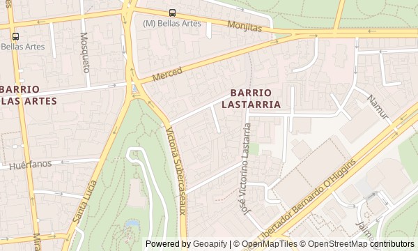
Route map
About the walk
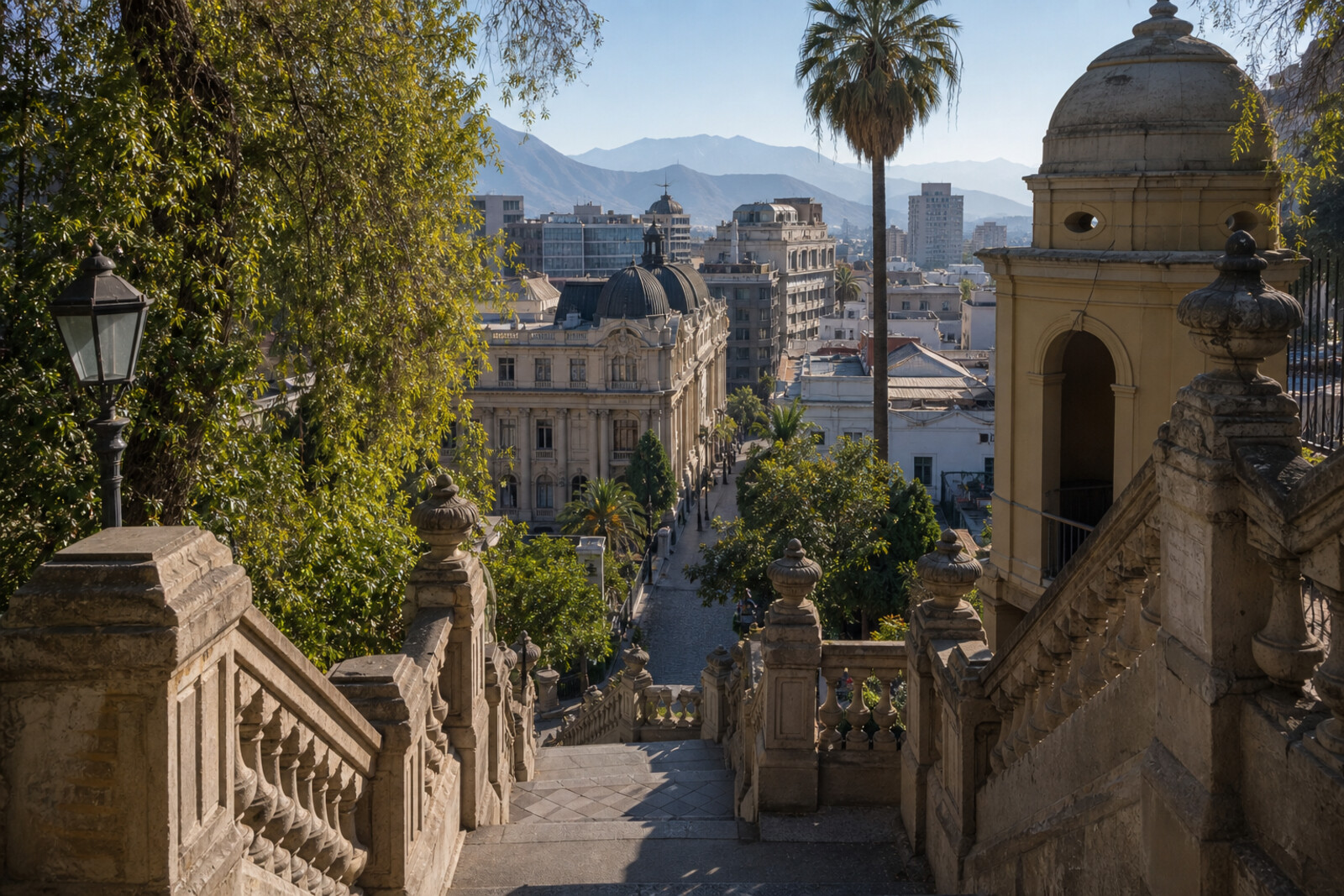
You will walk from Alameda de las Delicias across Santa Lucía Hill to José Victorino Lastarria Street, then finish beneath the plane trees of Parque Forestal. First, the route rises from a major cultural center to fountain-lined stairways and an old fort. Then it descends to a small church, bookstalls, two art museums, and the former riverbank.
You will see not Santiago at its most ceremonial, but places its residents reclaimed for the public again and again. Why will a fountain statue need a third address? What mistake will bring a church into being, and why will an exhibition arrive forty-two years late? The answers take shape through documents, city decisions, and small human acts—without grand rhetoric or ready-made legends.
By the end, you will be able to tell the difference between a handsome backdrop and a public place shaped by particular disputes: whether to open the doors, preserve the market, or give the riverbank over to development.
Why this order
The cultural center on Alameda de las Delicias sets the route's central question: who do urban spaces belong to? From there, the walk leads to the grand entrance to Santa Lucía Hill, where Neptune's fate explains how a new public park took shape. The climb to Hidalgo Castle shows the next step in that same transformation: an old fort adapted for a museum and library. Descending from the hill to Vera Cruz Church shifts from official projects to an urban legend that grew into the church and the surrounding neighborhood. Just beyond it, José Victorino Lastarria Street continues the theme through merchants' dispute over space on an improved promenade. The commercial stretch leads to the square and MAVI UC Museum of Visual Arts—another space created for art through private initiative. From a private collection, the route moves to a state museum, where the country's history determines an exhibition's fate. Its façade faces Parque Forestal, so the walk ends at the riverbank itself, which residents defended from developers.
Those who want to understand Santiago's cultural center through the stories of particular places Those interested in museums, urban disputes, and testing old legends Those who enjoy routes where terrain and transitions carry the story forward
Those looking for an overview of all of Santiago's history Those who prefer a walk without historical narratives Those more interested in shopping and cafés than in city decisions and documents
Before you go
For the Santa Lucía Hill section, wear shoes with reliable grip and check in advance whether access to the hill is open: stair conditions and restrictions may depend on the weather.
If you want to see exhibitions at Gabriela Mistral Cultural Center (GAM), MAVI UC Museum of Visual Arts, and Chilean National Museum of Fine Arts, check each venue's visiting conditions separately. The main thread of the walk is clear from outside, though the museum's glass dome is best seen from the central space.
Vera Cruz Church remains an active church. Go inside only when its doors are open, speak quietly, and do not treat the interior like a museum gallery during a service.
When to go
Allow about three hours for the route without long visits indoors. You can fit one small exhibition into the walk; Gabriela Mistral Cultural Center (GAM), MAVI UC Museum of Visual Arts, and Chilean National Museum of Fine Arts are best planned as separate visits if you want to explore them closely.
Backup plan
If Santa Lucía Hill is closed, the stone is wet, or the climb does not suit you, skip Neptune Terrace and Hidalgo Castle after Gabriela Mistral Cultural Center (GAM) and continue from Vera Cruz Church. The route's meaning will remain intact: the story moves from a large cultural building to religious memory, a street, a square, and a museum.
If the exhibition spaces are closed, stay outside: explore the passageways and metal shell of Gabriela Mistral Cultural Center (GAM), the lettering on the façade of Vera Cruz Church, the theater entrance on José Victorino Lastarria Street, Roberto Matta's work at MAVI UC Museum of Visual Arts, and the outdoor sculpture at Chilean National Museum of Fine Arts. Leave the park for the finale only if the weather is comfortable.
Route conditions
Surface. Paved — 999 m; unpaved — 482 m (data covers 53% of the route)
Stairs. Flights: 8, 67 m in total
Access. Wheelchair — no; stroller — limited (stairs)
Facilities. Toilets — 5; drinking water — 1
Elevation. Ascent — 33 m; descent — 42 m
OpenStreetMap extract of June 18, 2026: database data, not a check on the ground. Data © OpenStreetMap contributors, ODbL licence
Walk plan
Open in maps ↗- 1
Gabriela Mistral Cultural Center (GAM)
This is where the conversation begins about who opens large city buildings to the public, and why. - 2
Neptune Terrace
The fate of one statue explains how the ceremonial entrance to the hill was created. - 3
Hidalgo Castle
The former battery shows how a military structure was turned into a city museum. - 4
Vera Cruz Church
A disputed address helps explain how an urban myth became a diplomatic monument. - 5
José Victorino Lastarria Street
This stretch will show why book tables remained part of an upgraded district. - 6
Mulato Gil de Castro Square and MAVI UC Museum of Visual Arts
A private initiative will bring together here a redesigned square, an art collection, and preserved façades. - 7
Chilean National Museum of Fine Arts
A museum poster will become a document of an exhibition that had to wait. - 8
Parque Forestal
The finale will explain why the former floodplain was given over to trees rather than city blocks.
Route features
Everything you need stays in the browser
Progress, saves and your trip plan are stored on this device.
Add Guide On Map to your home screen so the walk opens outside the browser.
How we handle sources, maps and corrections: our editorial standards