 Guide On Map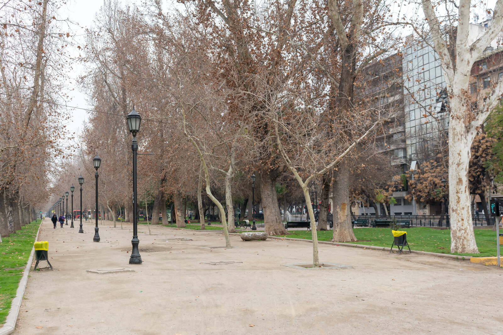
Look around first
What to notice
- Long avenues
- Straight rows of plane trees
- A green strip along the Mapocho River
The story of the place
The park stretches along the Mapocho River as a narrow green strip, and its even avenues of plane trees run along the edge of the former river channel. When the river was confined within a narrower channel, a former floodplain remained here. It was turned into a long urban garden with dense plantings and an artificial lagoon, laid out parallel to the water.
In eighteen ninety-two, the lawyer and civil-law lecturer Paulino Alfonso published a pamphlet titled “What Should Be Done with the Mapocho River Lands?” He argued that the newly freed-up riverbank should be turned into a public park. Alfonso earned his living through law and teaching; his tools were calculations and legal arguments about the purpose of the new urban land.
The land really was new. At the end of the nineteenth century, engineers confined the Mapocho River to a narrower channel. On the southern bank, about twenty blocks of former floodplain remained—a space strewn with trash and rubble. But an empty lot in the city center also meant expensive plots. In eighteen ninety-five, the public works administration proposed extending development here, leaving only a landscaped avenue along the river. Influential neighbors also pressed to divide the territory into plots.
Park supporters in parliament made the government refer the fate of the riverbank to a separate commission. It was chaired by Enrique Cousiño, the intendant of Santiago, who was to turn a years-long dispute into a finished project. In December nineteen hundred, the commission began its work, and three months later it presented a plan for a large public garden. The French landscape architect Georges Dubois laid out long avenues along the river and provided for dense plantings and an artificial lagoon. On April first, nineteen hundred one, his plan was approved. Building lots never appeared; Paulino Alfonso later chaired the commission overseeing the park's development.
President Germán Riesco wanted to name the new park after Enrique Cousiño, but the intendant declined. What is now O’Higgins Park was then already called Cousiño Park, in honor of his first cousin Luis, and Enrique did not want a second family name. The literal name took hold: Parque Forestal, meaning a park of trees.
Its elongated shape still follows the edge of the Mapocho River's former channel, and the straight rows of plane trees continue Dubois's lines. A short Paulino Alfonso Street meets the park on its southern side; the author of the first proposal was given a street, while the place created in accordance with his vision was given the name of the trees planted here.
Useful on site
An open urban park with no published fixed museum schedule or ticketed entry. Use daylight hours for the route.
Checked: June 29, 2026. Check the official source before visiting.Monuments are located in different parts of the park, and there is no need to seek out every one. For the finale, it is more important to walk along the avenue and sense its connection with the river.