City guide

Bangkok

4 published routes

4 walks141 places on the map
Choose a routeBangkok attractions on the map

Four city routes have been published; other walks are being prepared and will be added gradually.
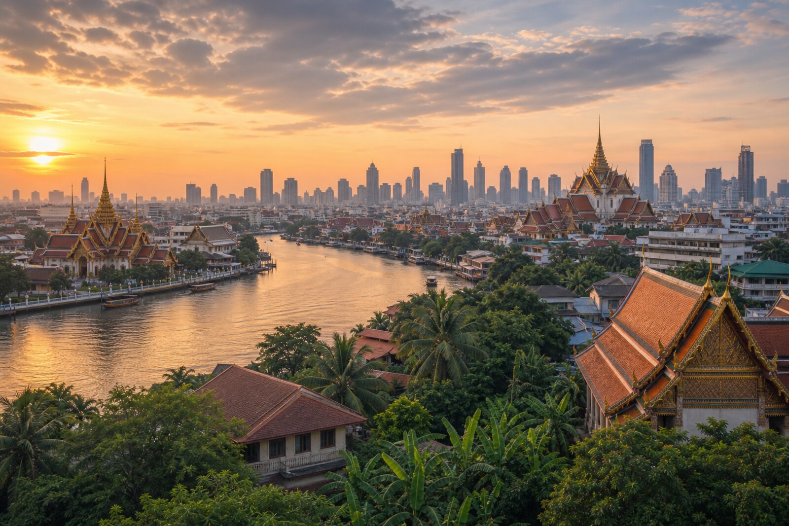
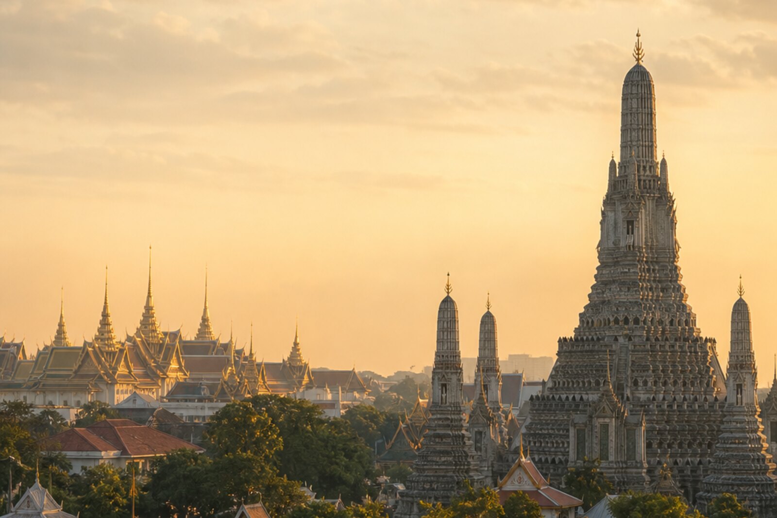
Editorial hero image generated for the city of Bangkok

Routes

Interactive city map

Explore Bangkok on the map

Start with 40 highlights or explore all 141 curated places.

141

Places to see

40 of 40
  1. Bangkok Art and Culture Centre: story on the “Baan Krua and Siam: Silk, Art, Trade” route

    This stop will show at what cost a public art center took over a site intended for commerce.

  2. Democracy Monument: story on the “Bang Lamphu between Ratchadamnoen Avenue and the Chao Phraya River” route

    It will show how a political project changed a royal avenue and left its own version of the coup there.

  3. Jim Thompson House: story on the “Baan Krua and Siam: Silk, Art, Trade” route

    Here you will see how a residence, a private collection, and a dispute with the state came together in one museum.

  4. Wat Arun: story on the “Royal Bangkok: Rattanakosin and Thonburi” route

    The finale on the far bank will show what a royal temple loses when the capital moves away.

  5. Wat Pho: story on the “Royal Bangkok: Rattanakosin and Thonburi” route

    The temple will show how knowledge was brought out of manuscripts and onto walls accessible to ordinary townspeople.

  6. Bangkok City Pillar Shrine: story on the “Royal Bangkok: Rattanakosin and Thonburi” route

    Here, the birth of the capital is given an exact minute and two surviving physical witnesses.

  7. Hua Lamphong Railway Station: story on the “Yaowarat Road and Talat Noi: Commercial Bangkok” route

    The dead-end track layout explains why a routine depot inspection ended in disaster in the passenger hall.

  8. Khao San Road: story on the “Bang Lamphu between Ratchadamnoen Avenue and the Chao Phraya River” route

    Shows how a family’s livelihood reshaped an entire neighborhood around travelers’ needs.

  9. MBK Center: story on the “Baan Krua and Siam: Silk, Art, Trade” route

    This stop explains both the complex's name and its rows of independent sellers.

  10. Phra Sumen Fort: story on the “Bang Lamphu between Ratchadamnoen Avenue and the Chao Phraya River” route

    It will take you back to the history of the builders whose forced labor closed off the new capital's northwestern corner.

  11. Santichaiprakarn Park: story on the “Bang Lamphu between Ratchadamnoen Avenue and the Chao Phraya River” route

    It will take the route from the city's defenses to the struggle for a tree in which residents found the name of their neighborhood.

  12. Song Wat Road: story on the “Yaowarat Road and Talat Noi: Commercial Bangkok” route

    The river trade corridor explains why a small bank was immediately entrusted with sums greater than its own capital.

  13. Tha Tien and the river crossing: story on the “Royal Bangkok: Rattanakosin and Thonburi” route

    The pier returns the route to the everyday city—trade, the market, and the way across the river.

  14. Wat Bowonniwet Vihara: story on the “Bang Lamphu between Ratchadamnoen Avenue and the Chao Phraya River” route

    It will link the struggle for the throne to the monastic reform that outlived its founder.

  15. Wat Mangkon Kamalawat: story on the “Yaowarat Road and Talat Noi: Commercial Bangkok” route

    Here it becomes clear why the trading community needed a permanent monastery and its own recognized leader.

  16. Wat Traimit Witthayaram and the Golden Buddha: story on the “Yaowarat Road and Talat Noi: Commercial Bangkok” route

    This stop will show how a failed move forced people to reassess the value of a familiar sacred statue.

  17. Yaowarat Road: story on the “Yaowarat Road and Talat Noi: Commercial Bangkok” route

    A broad commercial street will reveal the dispute over whose homes had to make way for the new road.

  18. Chinatown Gate at Odeon Circle: story on the “Yaowarat Road and Talat Noi: Commercial Bangkok” route

    The arch will link the entrance to the commercial district with an attempt by the royal family and the community to overcome postwar alienation.

  19. Pathumwan Skywalk: story on the “Baan Krua and Siam: Silk, Art, Trade” route

    The final stop will show how a private initiative changed an urban skywalk for people with different mobility.

  20. Phra Athit Road: story on the “Bang Lamphu between Ratchadamnoen Avenue and the Chao Phraya River” route

    It brings back, behind a high fence, the evening when the river exit proved more important than the ceremonial gates.

  21. Soi Ram Buttri: story on the “Bang Lamphu between Ratchadamnoen Avenue and the Chao Phraya River” route

    It will explain the lane's curve and the name that outlived the canal and the brick crossing.

  22. Show Grand Palace and Temple of the Emerald Buddha on the city map
  23. Show Bangkok National Museum on the city map
  24. Show Chatuchak Market on the city map
  25. Show Erawan Shrine on the city map
  26. Show Giant Swing on the city map
  27. Show Loha Prasat on the city map
  28. Show Lumphini Park on the city map
  29. Show Memorial Bridge on the city map
  30. Show Museum Siam on the city map
  31. Show Pak Khlong Talat Market on the city map
  32. Show Sampeng Market on the city map
  33. Show Sanam Luang on the city map
  34. Show Siam Square on the city map
  35. Show Wat Saket and the Golden Mount on the city map
  36. Show Wat Suthat Temple on the city map
  37. Show Ban Khrua Community on the city map
  38. Show Saen Saep Canal on the city map
  39. Show Talat Noi District on the city map
  40. Show Wang Lang Market on the city map
The map is temporarily unavailable. Every place remains available in the list.
40 places on the mapOpenFreeMap · © OpenStreetMap contributors

Want every route in the city?

Thanks — your interest is noted.