 Guide On Map
Bang Lamphu between Ratchadamnoen Avenue and the Chao Phraya River
From Democracy Monument through Khao San Road to Phra Sumen Fort
Guide On Map on your phone
Open the walk like a regular app
It takes about 10 seconds to install. No app store needed.
The whole path
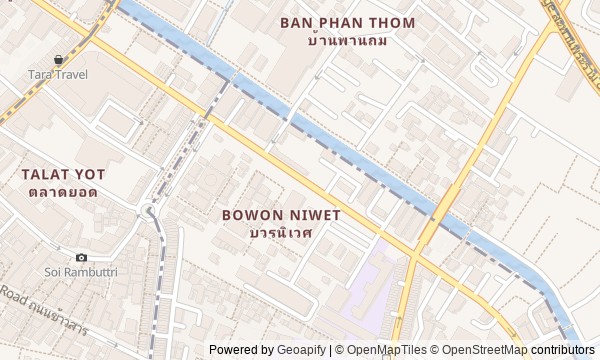
Route map
About the walk
You will begin on broad Ratchadamnoen Avenue, where a bronze constitution rises above the unbroken flow of cars. Then the road slips into Bang Lamphu: to a working monastery, into lanes around an old temple boundary, onto Khao San Road, and onward along Phra Athit Road to the Chao Phraya River.
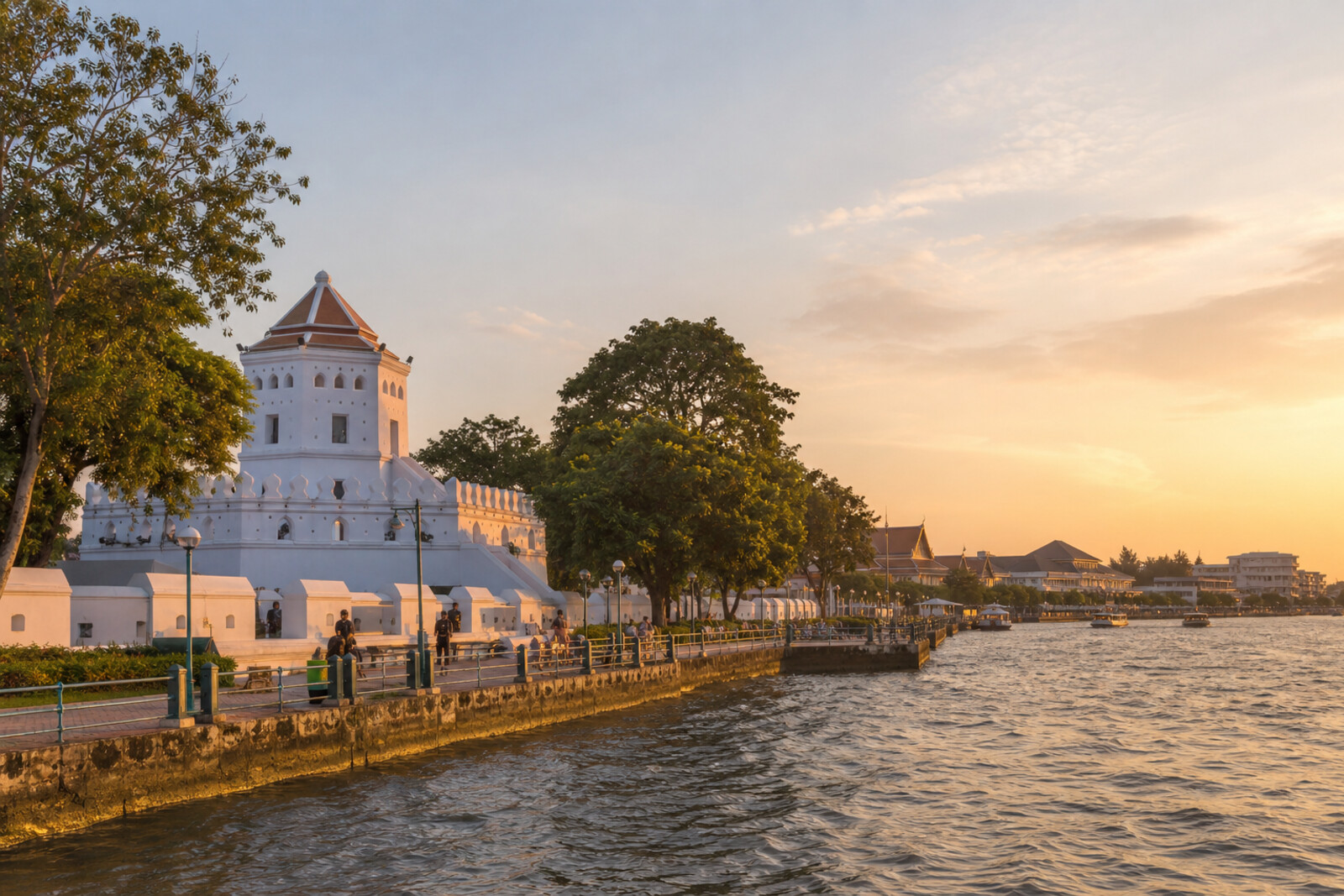
Here, a state monument, the wooden home of a future king, a street named for a bridge that is no longer there, and a family living room where a guest was not given a room of their own will all sit close together. At the white house numbered nineteen, a question will arise: why did the path to safety lead not through a gate, but toward the river? At the fort, another follows: who laid its bricks?
The story will stay calm and concrete. It will not excuse the noise of Khao San Road or turn the monastery into scenery. By the end, you will read Bang Lamphu through what has disappeared here: a canal, a bridge, a wall, and one old tree.
Why this order
On Ratchadamnoen Avenue, the route begins with an attempt to set a new political order into the space of a royal boulevard. From here, Dinso Road leads to Wat Bowonniwet Vihara, where the struggle for power continues not in a square, but in the fate of a prince and a monastic community. The monastery's southern boundary brings you to Ram Buttri: the curve of the lane preserves the line of a vanished canal. Nearby Khao San Road reveals the quarter's next transformation, as homes become tourist infrastructure. From its noise, the route turns toward the walls of Phra Athit Road and house no. 19, where political history once again runs up against the river. Phra Athit Road itself then leads to Phra Sumen Fort, a surviving fragment of the wall that gave this river line its military purpose. Beyond the fort, the route ends in a park: a former defensive edge becomes a public riverbank, and the neighborhood's history comes down to the fate of the tree that gave it its name.
Those who want to see old Bangkok beyond the palaces and main temples Those interested in political history and the everyday life of one neighborhood Those who enjoy routes where street names explain vanished parts of the city
Those looking only for quiet temple courtyards Those who do not enjoy the noise of Khao San Road Those who prefer an overview of sights without historical conflicts
Before you go
Choose a cooler part of the day, and bring water, sun protection, and comfortable shoes. To visit Wat Bowonniwet Vihara, shoulders and knees must be covered; remove your shoes where customary inside, do not disrupt prayers, and do not photograph people without permission. View Democracy Monument from the safe side of the street, without crossing through traffic to reach it. On Khao San Road, keep an eye on your phone and wallet, especially in crowds. Treat the old mansions on Phra Athit Road and the fort mainly as exterior sights: access inside may be limited regardless of general access to the grounds.
When to go
About 110 minutes, including listening and short pauses. In the morning, the architecture and murals are easier to take in; closer to evening, the contrast between Khao San Road and the quiet river finish becomes more noticeable.
Backup plan
If the monastery grounds are inaccessible, view the gates, roofs, and overall outline of Wat Bowonniwet Vihara from outside, and listen to the story by the wall without blocking the entrance. If Khao San Road is overcrowded or difficult to pass through, do not try to squeeze through the crowd: keep the stop as a brief observation from the edge, then continue along quieter nearby streets. If access to the fort is limited, view it from the park or riverfront. If the stretch right by the water is closed for an event or works, end the walk in the accessible part of Santichaiprakarn Park, where you can still feel the meeting of fort, park, and river.
Route conditions
Surface. Paved — 2.1 km (data covers 93% of the route)
Stairs. Flights: 1, 4 m in total
Access. Wheelchair — no; stroller — limited (stairs)
Facilities. Toilets — 2; drinking water — 8
Elevation. Ascent — 13 m; descent — 13 m
OpenStreetMap extract of June 23, 2026: database data, not a check on the ground. Data © OpenStreetMap contributors, ODbL licence
Walk plan
Open in maps ↗- 1
Democracy Monument
It will show how a political project changed a royal avenue and left its own version of the coup there. - 2
Wat Bowonniwet Vihara
It will link the struggle for the throne to the monastic reform that outlived its founder. - 3
Soi Ram Buttri
It will explain the lane's curve and the name that outlived the canal and the brick crossing. - 4
Khao San Road
Shows how a family’s livelihood reshaped an entire neighborhood around travelers’ needs. - 5
Phra Athit Road
It brings back, behind a high fence, the evening when the river exit proved more important than the ceremonial gates. - 6
Phra Sumen Fort
It will take you back to the history of the builders whose forced labor closed off the new capital's northwestern corner. - 7
Santichaiprakarn Park
It will take the route from the city's defenses to the struggle for a tree in which residents found the name of their neighborhood.
Route features
Everything you need stays in the browser
Progress, saves and your trip plan are stored on this device.
Add Guide On Map to your home screen so the walk opens outside the browser.
How we handle sources, maps and corrections: our editorial standards