 Guide On Map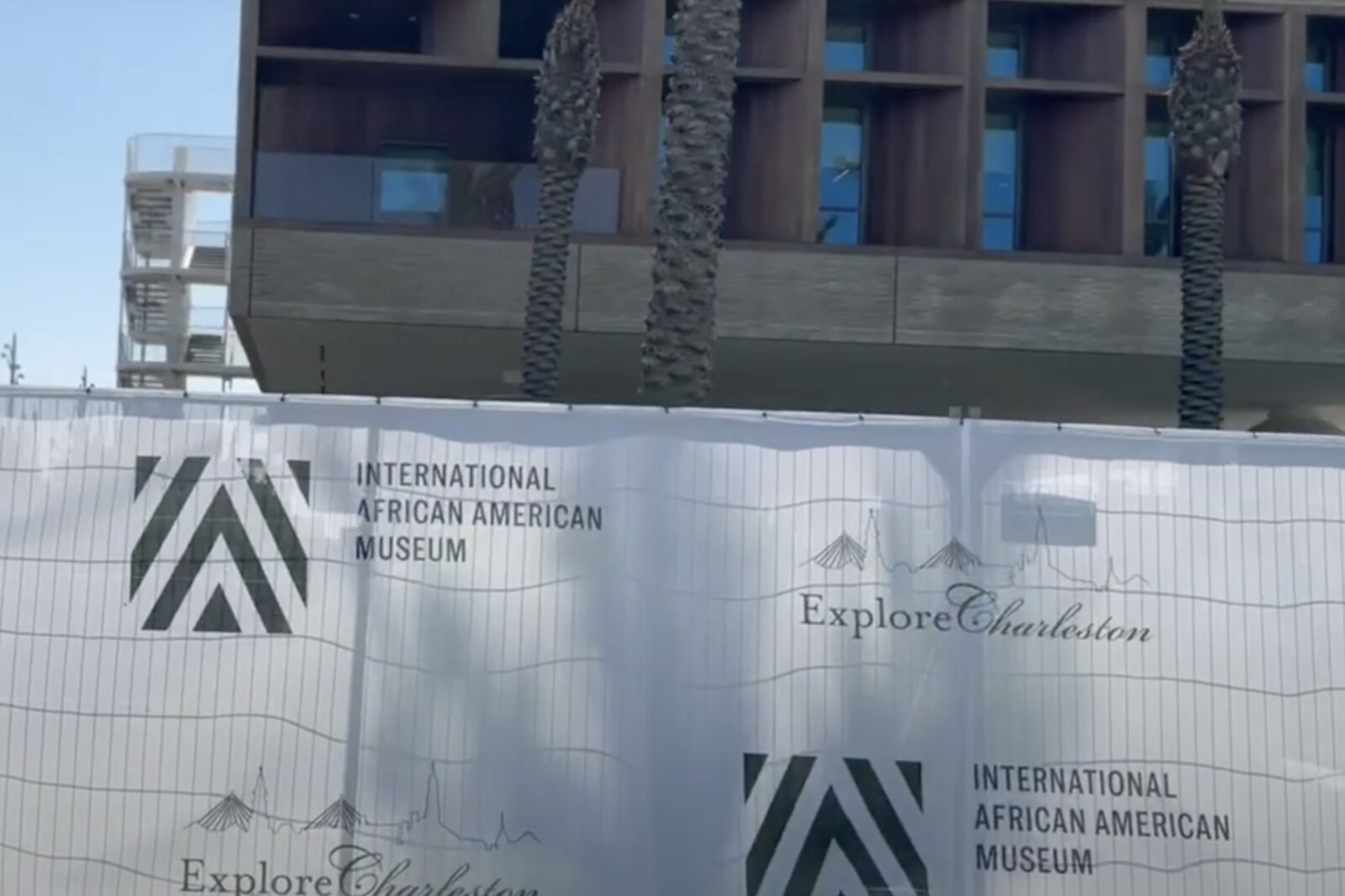

This place does not have an audited photo yet.
Selected place
International African American Museum
Local name:
It will explain why the story of the route begins not in the galleries, but on the ground beneath them.
Start with 28 highlights or open the complete catalog of 158 curated places.
Highlights include International African American Museum, Market Hall and City Market, Nathaniel Russell House, Old Slave Mart, Joseph P. Riley Jr. Waterfront Park, African Ancestors Memorial Garden.
We have connected important places into ready-made walks with a clear order, stories and practical details.
Start with 28 highlights, or reveal all 158 curated places.
Local name:
It will explain why the story of the route begins not in the galleries, but on the ground beneath them.
It will explain why the story of the route begins not in the galleries, but on the ground beneath them.
Here, the layout of the facade and passageways preserves the terms of a deal that survived a fire and a buyout.
Nearest audio-route stop: Nathaniel Russell House — 10 m in a straight line, route Historic Charleston South: Homes, Labor, and Law
It will show how the trade in people moved from a public intersection into a purpose-built private complex.
This stop will show how abandoned piers were kept open to the public despite the appeal of profitable development.
It will translate port statistics into human scale through water, tabby, and life-size figures.
This commercial building helps explain how a single signature became grounds for an execution without a full trial.
The surviving service buildings make it possible to continue the story of the family that documents initially recorded as property.
Here, the city walk begins with the transformation of a freight warehouse into Charleston's public gateway.
Here, a civic bequest, a court dispute, and one exhibition link Charleston to a future New York museum.
Two refusals to light the windows show how political defiance entered a private home.
Here, preserving a landmark becomes a story of debts, a lost garden, and persistent attempts to reclaim it.
On the former parade ground, private stories of emancipation become a large public procession through the city center.
It will connect the long history of Charleston’s Black church with the ordeal faced by its present-day congregation.
The pastel facades show how owners, one by one, restored value to a former port district.
The story of a bell ringer will link the church bells to city time and to limits on freedom of movement.
This stop shows how access to the collections changed before the boundaries imposed by the city disappeared.
The thick walls will be needed for the story of a supply that was hidden beside an enemy guard.
The finale will compare today’s garden with the former tidal point, whose exact boundaries were concealed by later fill.
The court case will show the difference between the price paid for freedom and freedom recognized by law.
It returns the memorial composition to the exact place where port regulations turned a private wharf into a monopolized point of entry.
Here, you can distinguish the natural shore from the land and wall that the city’s residents built on credit and after hurricanes.
The single-house layout will emerge as the result of a builder's work, undertaken at the risk of his own money.
The fate of the restored houses will conclude the discussion of how preservation changed both the buildings and the composition of their residents.
The school fence connects a family story of an escape with the documented history of the city gates.
The story of the street's restoration shows who saved the old woodwork and who lost housing here.
From the vanished pier, the route will lead directly into the harbor for the first time, through which one family tried to escape together.
Nearest audio-route stop: Chalmers Street and The Pink House — 10 m in a straight line, route African American Charleston: From Gadsden's Wharf to Mother Emanuel AME Church
Nearest audio-route stop: Pineapple Fountain — 10 m in a straight line, route Harbor Charleston: From the Market to The Battery
Nearest audio-route stop: Marion Square — 150 m in a straight line, route Charleston Museum Mile: Meeting Street and Historic Houses
Nearest audio-route stop: Gibbes Museum of Art — 20 m in a straight line, route Charleston Museum Mile: Meeting Street and Historic Houses
Nearest audio-route stop: Mother Emanuel AME Church — 110 m in a straight line, route African American Charleston: From Gadsden's Wharf to Mother Emanuel AME Church
Nearest audio-route stop: International African American Museum — 140 m in a straight line, route African American Charleston: From Gadsden's Wharf to Mother Emanuel AME Church
Nearest audio-route stop: High Battery — 70 m in a straight line, route Harbor Charleston: From the Market to The Battery
Nearest audio-route stop: Four Corners: freedom before the court — 60 m in a straight line, route Historic Charleston South: Homes, Labor, and Law
Nearest audio-route stop: The Powder Magazine — 100 m in a straight line, route Charleston Museum Mile: Meeting Street and Historic Houses
Nearest audio-route stop: Pineapple Fountain — 130 m in a straight line, route Harbor Charleston: From the Market to The Battery
Nearest audio-route stop: St. Michael's: Materials of Memory — 100 m in a straight line, route Historic Charleston South: Homes, Labor, and Law
Nearest audio-route stop: Nathaniel Russell House — 50 m in a straight line, route Historic Charleston South: Homes, Labor, and Law
Nearest audio-route stop: Heyward-Washington: Two Doors of Independence — 120 m in a straight line, route Historic Charleston South: Homes, Labor, and Law
Nearest audio-route stop: Rainbow Row — 60 m in a straight line, route Harbor Charleston: From the Market to The Battery
Nearest audio-route stop: The Powder Magazine — 150 m in a straight line, route Charleston Museum Mile: Meeting Street and Historic Houses
Nearest audio-route stop: Marion Square — 30 m in a straight line, route Charleston Museum Mile: Meeting Street and Historic Houses
Nearest audio-route stop: Market Hall and City Market — 150 m in a straight line, route Harbor Charleston: From the Market to The Battery
Nearest audio-route stop: Chalmers Street and The Pink House — 20 m in a straight line, route African American Charleston: From Gadsden's Wharf to Mother Emanuel AME Church
Nearest audio-route stop: Nathaniel Russell House — 110 m in a straight line, route Historic Charleston South: Homes, Labor, and Law
Nearest audio-route stop: St. Michael's: Materials of Memory — 100 m in a straight line, route Historic Charleston South: Homes, Labor, and Law
Nearest audio-route stop: Marion Square — 140 m in a straight line, route Charleston Museum Mile: Meeting Street and Historic Houses
Nearest audio-route stop: St. Michael's: Materials of Memory — 30 m in a straight line, route Historic Charleston South: Homes, Labor, and Law
Nearest audio-route stop: The Powder Magazine — 90 m in a straight line, route Charleston Museum Mile: Meeting Street and Historic Houses
Nearest audio-route stop: The Powder Magazine — 100 m in a straight line, route Charleston Museum Mile: Meeting Street and Historic Houses
Nearest audio-route stop: High Battery — 20 m in a straight line, route Harbor Charleston: From the Market to The Battery
Nearest audio-route stop: Legare: a house turned sideways to the street — 30 m in a straight line, route Historic Charleston South: Homes, Labor, and Law
Nearest audio-route stop: St. Michael's: Materials of Memory — 60 m in a straight line, route Historic Charleston South: Homes, Labor, and Law
Nearest audio-route stop: Joseph Manigault House — 110 m in a straight line, route Charleston Museum Mile: Meeting Street and Historic Houses
Nearest audio-route stop: Aiken-Rhett House — 110 m in a straight line, route Charleston Museum Mile: Meeting Street and Historic Houses
Access and construction years come from OpenStreetMap and Wikidata, snapshot of August 25, 2026: database data, not a check on the ground.