 Guide On Map
Belgrade
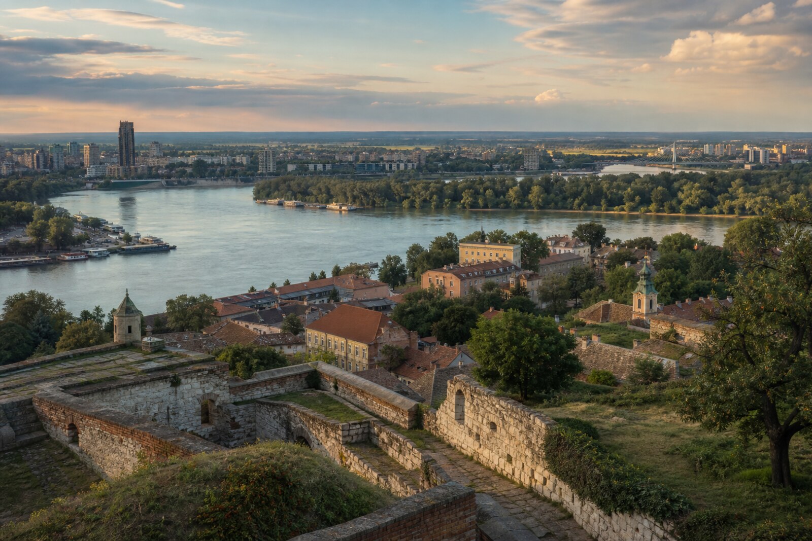
fortress, rivers, Zemun and modernism
Published: 4 city routes; other walks are being prepared and will be added gradually.
For the walk
Weather now
Forecast is available from WeatherWidget.org. WeatherWidget.org
Water and toilets on routes
OpenStreetMap points along these routes; this is not citywide coverage.
Climate by monthJan -0.5 °C · Jul 24.1 °C
NASA POWER / MERRA-2 modelled values for a grid point near the city, 1991–2020; they can differ from a city weather station.
| Month | Average temperature (°C) | Precipitation per month (mm) |
|---|---|---|
| Jan | -0.5 °C | 44 mm |
| Feb | 1.6 °C | 41 mm |
| Mar | 6.4 °C | 45 mm |
| Apr | 12.1 °C | 50 mm |
| May | 17.4 °C | 70 mm |
| Jun | 21.7 °C | 80 mm |
| Jul | 24.1 °C | 64 mm |
| Aug | 24.1 °C | 53 mm |
| Sep | 18.5 °C | 55 mm |
| Oct | 12.5 °C | 54 mm |
| Nov | 6.4 °C | 47 mm |
| Dec | 0.8 °C | 51 mm |
≈ per month: average precipitation per day × the mean calendar-month length over this period. It includes all precipitation, not rainy-day counts.
Routes
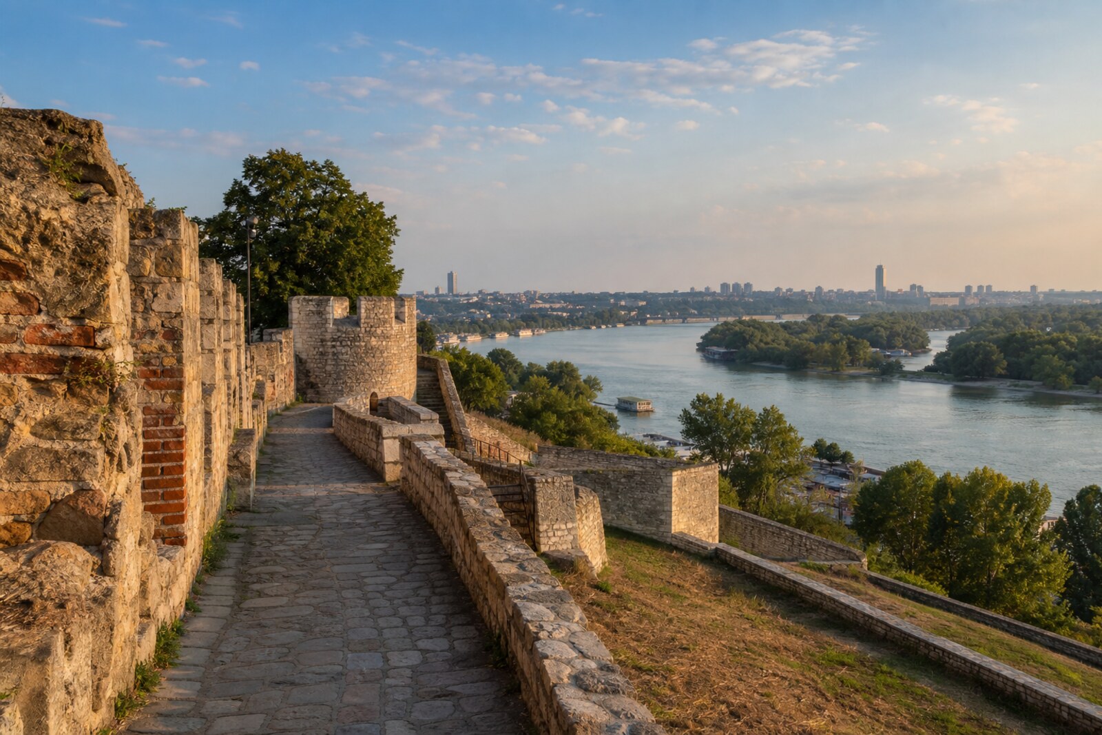
Old Belgrade: the City, the Fortress, and Two Rivers
From Republic Square through Kalemegdan to Nebojša Tower
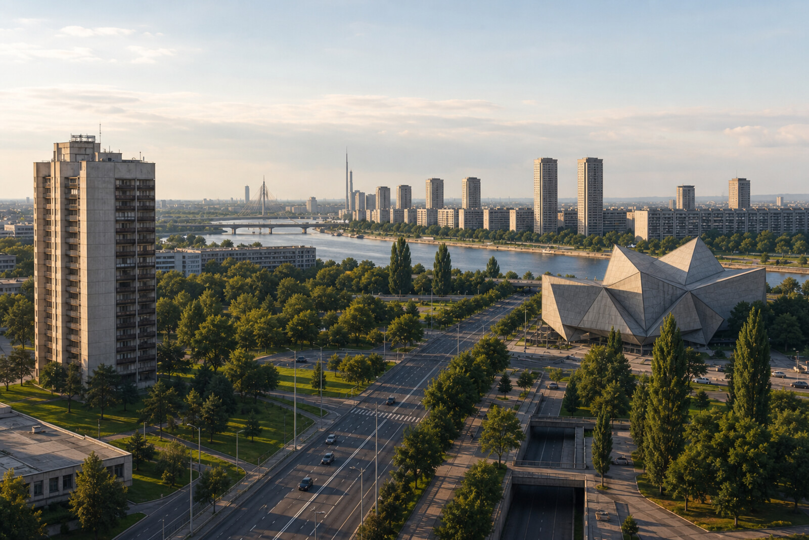
New Belgrade: Yugoslavia in Concrete
From Park of Friendship to the Western Gate of Belgrade
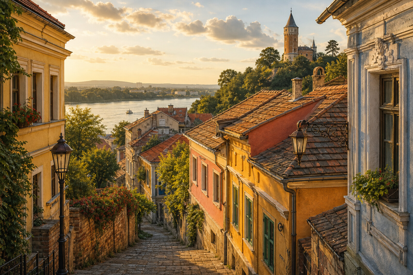
Zemun: Old Town and the Danube Shore
From Masaryk Square through Gardoš to the former Hotel Yugoslavia
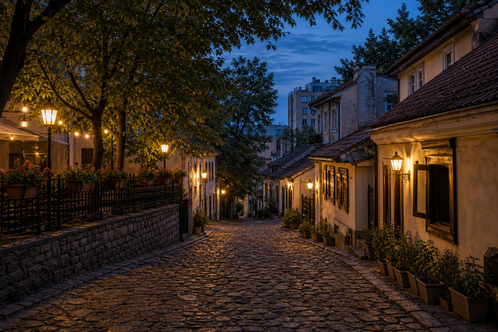
Skadarlija and Dorćol: From the Market to the Danube River
From Bajloni Market through Skadarska Street and Upper Dorćol to the Danube River quay
Want every route in the city?
Thanks — your interest is noted.