 Guide On Map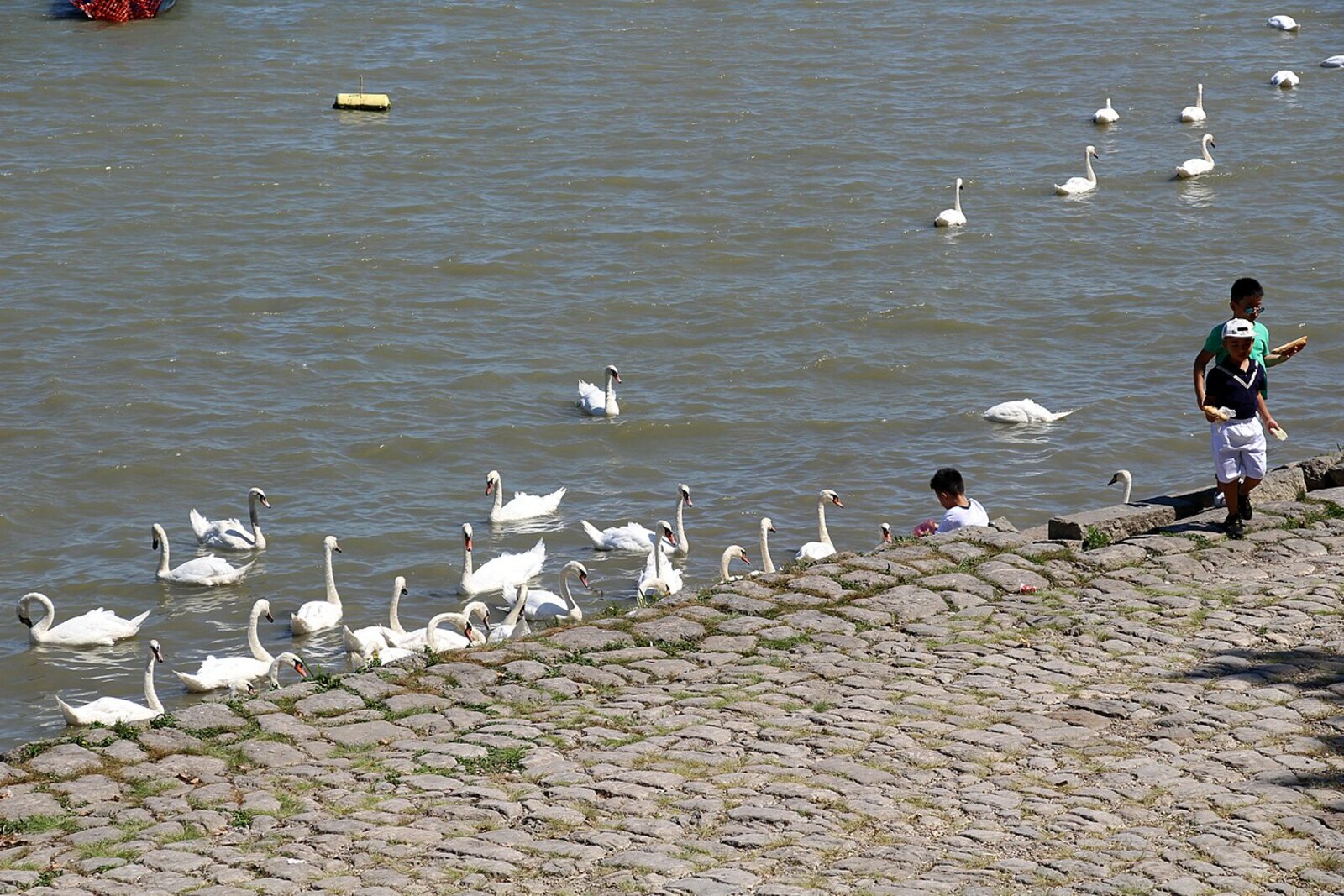
Look around first
What to notice
- Liberation Quay signs
- Danube
- Pedestrian waterfront
- Millennium Tower on the hill
The story of the place
Liberation Quay stretches along the water, a pedestrian waterfront beside the Danube; the Millennium Tower is visible on the hill above the roofline. When Zemun was an Austria-Hungary border town, a water border ran between it and Belgrade; a port and railway station operated by the shore. During the war years, artillery fired from here, and Serbian residents of the town and the nearest villages were sent to internment.
The street along the waterfront is officially called Liberation Quay. Zemun associates this name with November fifth, nineteen eighteen. The main events of that day unfolded on the water: there were no longer any bridges between Belgrade and Zemun.
Before the First World War, the opposite banks belonged to different states. Belgrade was the capital of Serbia, while Zemun was an Austria-Hungary border town. In July nineteen fourteen, Austria-Hungary artillerymen fired at Belgrade from here. In September, Serbian units crossed the Sava and occupied Zemun for four days. Some of the townspeople left with them. After Austria-Hungary troops returned, Serbian residents of Zemun and the surrounding villages were sent to internment; they were able to return home only in nineteen sixteen. That is why a new crossing of the river by the army meant much more to the people of Zemun than another change of guard.
In the autumn of nineteen eighteen, Austria-Hungary was breaking apart, and its troops were retreating north. On the night before Belgrade was liberated, soldiers burned the pontoon bridge linking the Belgrade bank to Zemun railway station. The railway bridge was destroyed as well. On November first, the Serbian army entered Belgrade, but Zemun still remained cut off by water.
Four days later, the first company of the Fifth Infantry Regiment boarded the passenger steamer Radetzky. The company’s task was to occupy the town on the former Austria-Hungary bank. The steamer crossed the Sava, and on November fifth the soldiers entered Zemun. They found no military garrison there: the retreating units had left the town. Residents welcomed the company, and a Serbian flag was raised over the Millennium Tower. In Zemun harbor, the military gained another very tangible result of the crossing—five abandoned vessels.
After the monarchy collapsed, the people of Zemun found themselves in a new state, soon named the Kingdom of Serbs, Croats and Slovenes. The shore ceased to be the edge of Austria-Hungary opposite Serbia. Between the world wars, the street along it was called Fifth of November Street. Now the signs read “Liberation Quay,” and on November fifth Zemun marks its community day. The Radetzky and the captured vessels have long been gone from here; the name of the waterfront is what remains of that crossing.
Useful on site
An open urban waterfront; cafés, pontoons, seasonal connections to the island, and individual sites operate on their own schedules.
Checked: July 1, 2026. Check the official source before visiting.All the main details are outside. Watch your step near the rails, and do not stop in the middle of the walkway on the busy waterfront.