City guide

Auckland

4 published routes

4 walks139 places on the map
Choose a routeAuckland attractions on the map

Four city routes have been published; other walks are in preparation and will be added gradually.
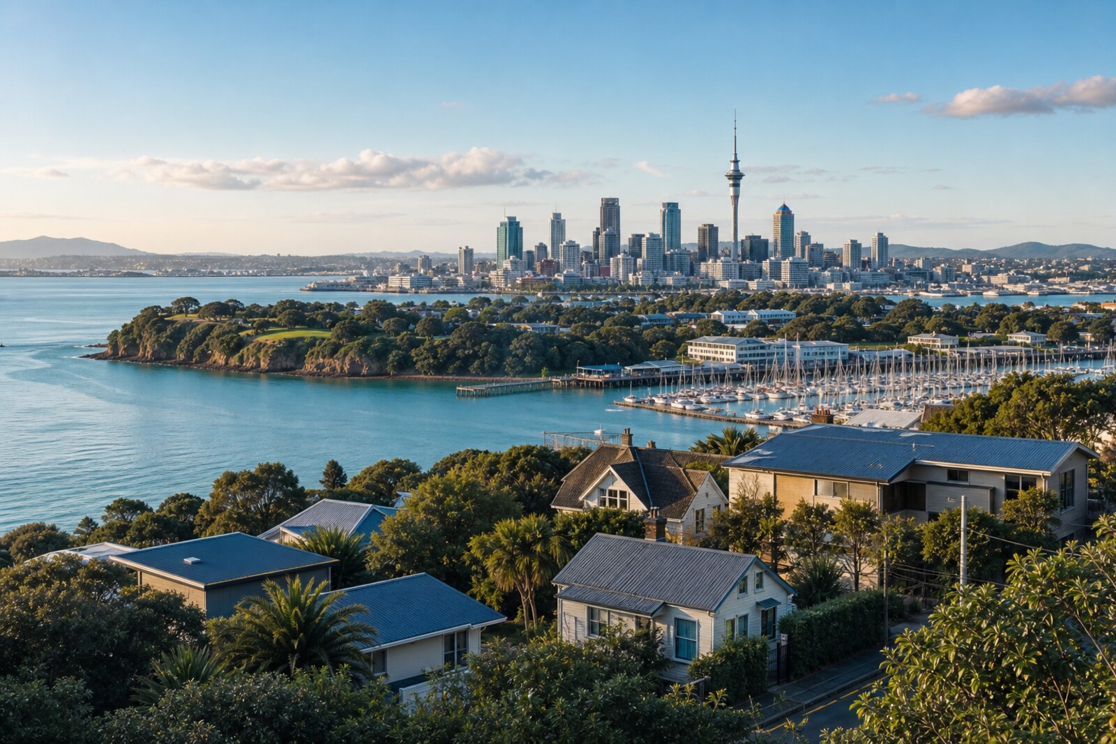
Editorial hero image of Auckland

Routes

Interactive city map

Explore Auckland on the map

Start with 37 highlights or explore all 139 curated places.

139

Places to see

37 of 37
  1. Show Albert Park on the city map
  2. Show Aotea Square on the city map
  3. Show Auckland Art Gallery on the city map
  4. Show Auckland Harbour Bridge on the city map
  5. Show Auckland Town Hall on the city map
  6. Show Auckland Zoo on the city map
  7. Show Civic Theatre on the city map
  8. Show Cornwall Park on the city map
  9. Show Kelly Tarlton’s Sea Life Aquarium on the city map
  10. Show Sky Tower on the city map
  11. Show Bastion Point on the city map
  12. Show Eden Park on the city map
  13. Show Mission Bay on the city map
  14. Show Western Springs on the city map
  15. Artspace Aotearoa beneath the bronze Star: story on the “Karangahape Road: Communities, Art, and Nightlife” route

    This stop will show how a forgotten work returned to the building for which it was once created.

  16. Auckland Cenotaph and Court of Honour: story on the “Pukekawa and Parnell: Park, Memory, Architecture” route

    Here you will learn why veterans were prepared to postpone the opening of the museum even though it had already been built.

  17. Auckland Domain Wintergardens: story on the “Pukekawa and Parnell: Park, Memory, Architecture” route

    This stop will explain how donations, labor, and a waived fee covered the budget shortfall.

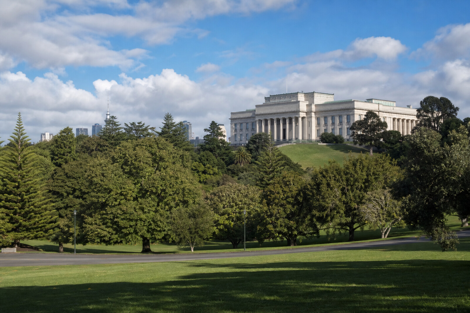
  18. Auckland War Memorial Museum: story on the “Pukekawa and Parnell: Park, Memory, Architecture” route

    This stop shows how the personal experience of three veterans shaped the design of the museum memorial.

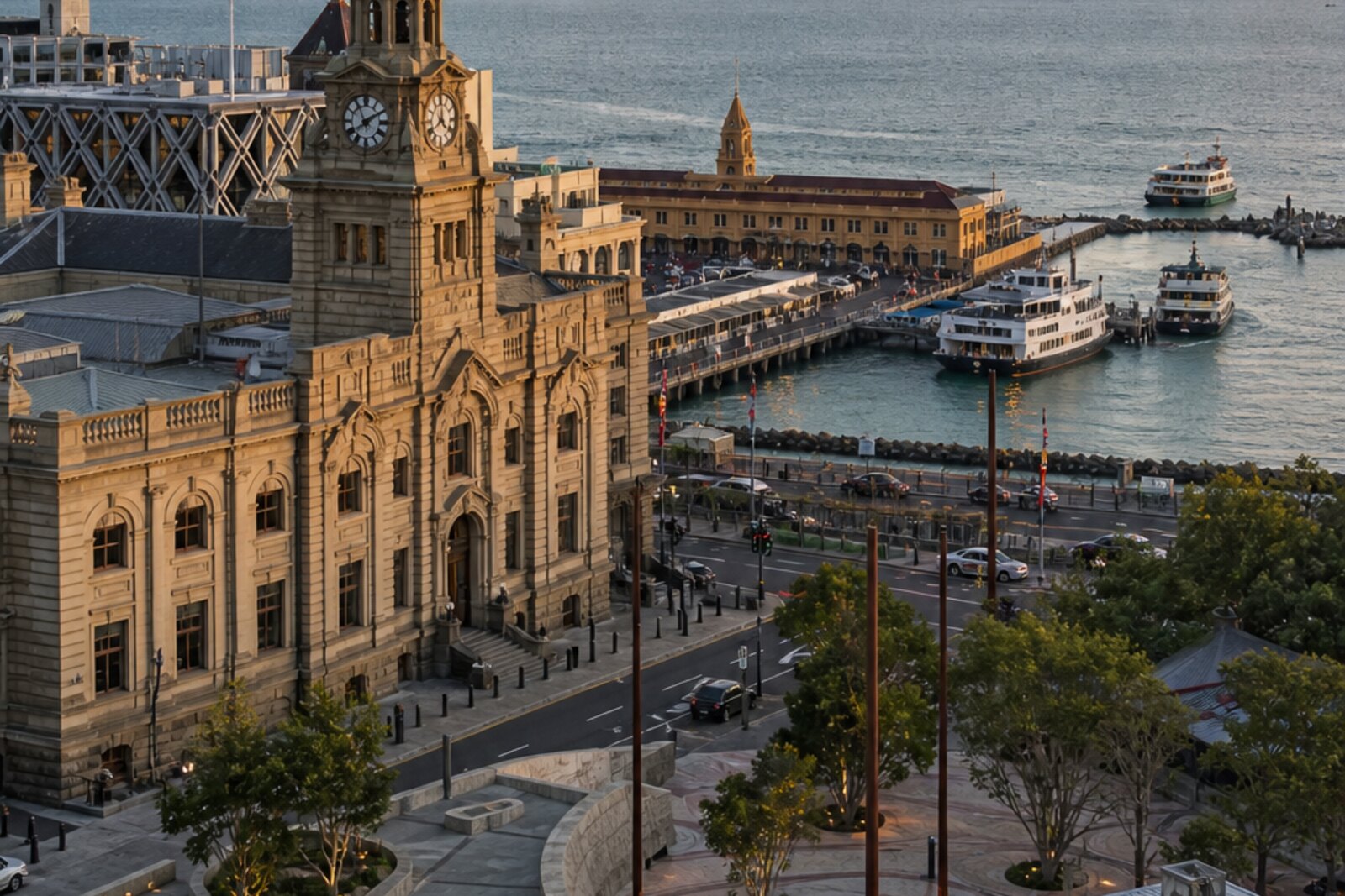
  19. Ferry Building at the end of Queen Street: story on the “Auckland waterfront: port, ferries, and industrial traces” route

    A court case will open up a social history for which the busy ferry terminal has no commemorative plaque.

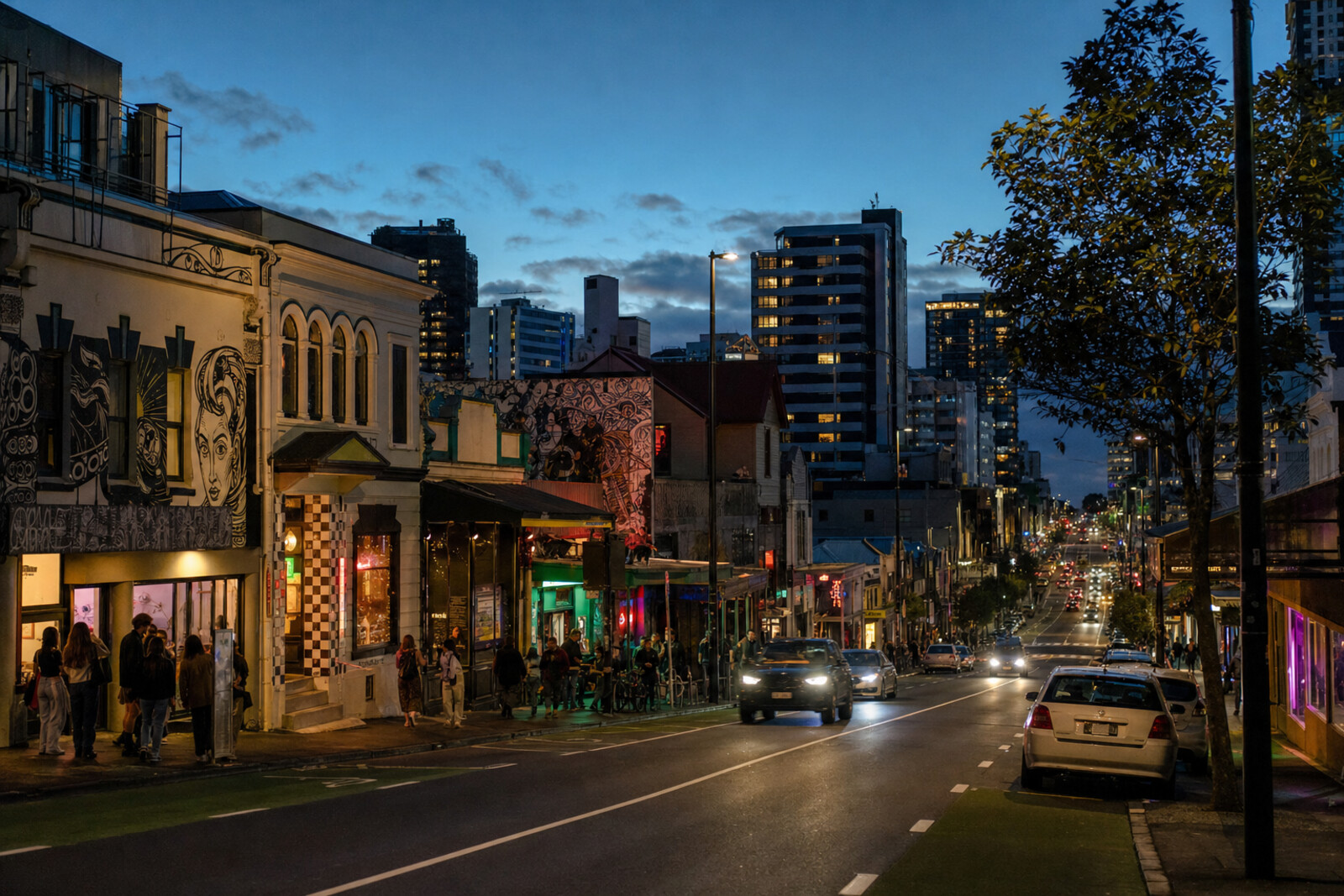
  20. Galatos and Its Springy Dance Floor: story on the “Karangahape Road: Communities, Art, and Nightlife” route

    An old dance hall connects fraternal meetings of the early last century with today’s music venue.

  21. Holy Trinity Cathedral: story on the “Pukekawa and Parnell: Park, Memory, Architecture” route

    The finale reveals an architectural dispute that the builders did not hide behind a single facade.

  22. Myers Park above the hidden stream: story on the “Karangahape Road: Communities, Art, and Nightlife” route

    The park shows how a ravine above a stream enclosed in a culvert was turned into a public space for nearby families.

  23. New Zealand Maritime Museum: story on the “Auckland waterfront: port, ferries, and industrial traces” route

    The story of how a working scow was built explains why the museum was conceived at once as a collection, a workshop, and a harbor.

  24. Pukekawa / Auckland Domain: story on the “Pukekawa and Parnell: Park, Memory, Architecture” route

    Here you will learn why an influential chief risked his word for a former opponent.

  25. St Kevin’s Arcade: the passage that cannot be closed: story on the “Karangahape Road: Communities, Art, and Nightlife” route

    This stop explains the condition that allowed a private shopping arcade to retain a public route to the park.

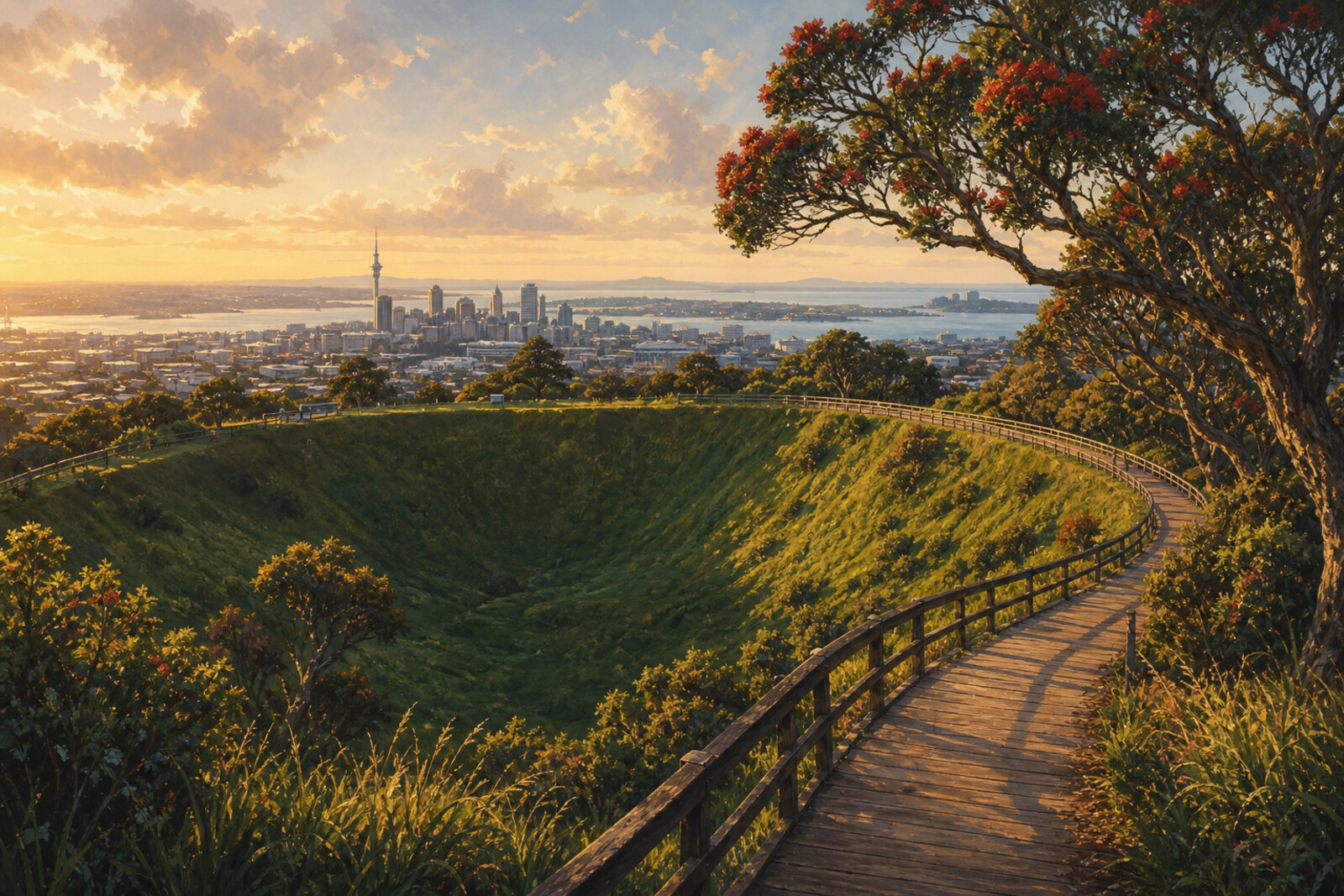
  26. Te Ipu Kōrero: From Teahouse to the Voice of the Maunga: story on the “Mt Eden and Maungawhau: streets, crater, summit” route

    Here, a city teahouse and an iwi storytelling center come under one roof.

  27. Te Wero Wynyard Crossing: story on the “Auckland waterfront: port, ferries, and industrial traces” route

    Repairs to the temporary bridge will show how much city life has come to depend on a short route across the water.

  28. The Harbour of the Unrealized Viaduct: story on the “Auckland waterfront: port, ferries, and industrial traces” route

    Here, the crew of a radio ship tried to pass through the basin’s only exit in defiance of the police.

  29. The Karangahape Ridge at Symonds Street: story on the “Karangahape Road: Communities, Art, and Nightlife” route

    This point explains why the modern street follows an ancient route along the top of the ridge.

  30. The Silos of the Former Tank Farm: story on the “Auckland waterfront: port, ferries, and industrial traces” route

    The engineer’s return will show how an industrial site became a public space without losing its old equipment.

  31. George Courts: a department store under another sign: story on the “Karangahape Road: Communities, Art, and Nightlife” route

    The final stop preserves the memory of a department store in a building where the retail floors became apartments.

  32. Lover's Walk: story on the “Pukekawa and Parnell: Park, Memory, Architecture” route

    The romantic name here accompanies the story of how a familiar path became deadly dangerous.

  33. Puhi Huia Road: the runaway woman's slope: story on the “Mt Eden and Maungawhau: streets, crater, summit” route

    The road introduces a legend of a marriage that may have disrupted the recently established peace.

  34. Samoa House: a house built by the community: story on the “Karangahape Road: Communities, Art, and Nightlife” route

    Here, a community collection became an urban house with a hall, services, and space for Samoan culture.

  35. Te Komititanga and the former Chief Post Office: story on the “Auckland waterfront: port, ferries, and industrial traces” route

    Here you will see how the post, the city’s communications, the railway, and a hidden stream came together at the edge of the harbour.

  36. Show Museum of Transport and Technology on the city map
  37. Show Maungakiekie / One Tree Hill on the city map
The map is temporarily unavailable. Every place remains available in the list.
37 places on the mapOpenFreeMap · © OpenStreetMap contributors

Want every route in the city?

Thanks — your interest is noted.