 Guide On Map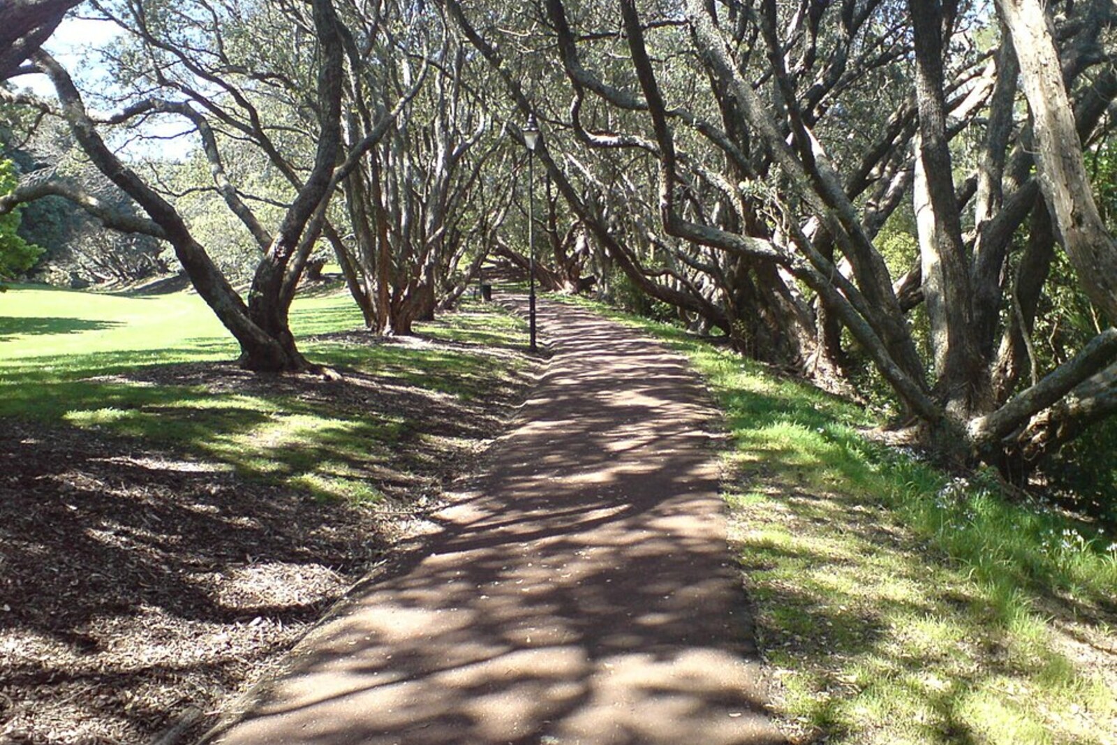
Look around first
What to notice
- Green gully
- Low boardwalks
- Steps on the slope
- Footbridges over the stream
The story of the place
A narrow path runs through the green gully of Auckland Domain: it descends the slope toward the stream, runs over low boardwalks, and crosses the water on short footbridges. The passage was closed for several years after storms, while park services reinforced the bank and rebuilt the steps. Now this route once again links the park's open avenues with the road to Parnell.
Lover's Walk means “Lovers' Walk.” The name does not refer to a famous couple. Newspapers were already calling a path in Auckland Domain by that name in eighteen eighty-one, and eighteen years later a city satirical column, without any explanation, joked about Sunday twilight on Lover's Walk. Archives do not say who first used the name. It referred to ordinary Auckland couples, for whom the overgrown gully made it possible to quickly disappear from the open avenues.
In August two thousand nineteen, seventy-six-year-old Murray Mason was walking along this trail. He had once worked as a political journalist and business editor at The New Zealand Herald; by then he was receiving a pension, renting rooms, and walking almost everywhere. At about midnight, Mason left a pub in central Auckland. Even his friends did not know his exact address, but one of them believed Mason was heading home to Parnell and usually crossed Auckland Domain to do so.
The night was cold and rainy. Most likely, Mason stumbled at the edge of the path and slid down the bank toward the stream. His friend Ivan Davis later came here with a companion because he wanted to understand how someone he knew had died. From a knocked-over young sapling and marks on the ground, Davis reconstructed Mason's attempt to slow himself with his umbrella. Mason could not climb back up. He then crawled along the streambed and got beneath a small bridge: farther on, the path ran lower, and there he might have been able to get out.
Mason did not reach that spot. In the morning, three runners found him about fifty meters from Lower Domain Drive, face down in the shallow stream. In both hands, he was still gripping a switched-on flashlight.
After the storms of two thousand twenty-three, park services closed Lover's Walk for almost three years, reinforced the slope, laid low boardwalks, and built new steps and footbridges. The path reopened on December twentieth, two thousand twenty-five. On the night Mason died, the old small bridge over the stream stood here; it was beneath that bridge that he sought a place where the bank would allow him to return to the trail.
Useful on site
Park trail; check path conditions after rain and bypass closed sections.
Checked: June 28, 2026. Check the official source before visiting.Walk only in sufficient light, stay on the path, and do not go down to the stream; after rain, the surface may be slippery.