 Guide On Map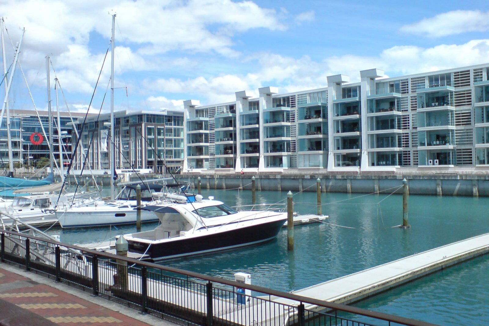
Look around first
What to notice
- The yacht-marina basin
- The steel lift bridge
- The vessel passage
- The Battle of the Bridge plaque
The story of the place
Between the Eastern Viaduct and Western Viaduct, the water forms a narrow basin where yachts now lie. When the cargo plan did not work out, the fishing fleet was moved here; it operated beside the new fish markets. The steel lift bridge linked the sides of the basin with a railway to oil-handling facilities and was raised to let fishing vessels pass through the span.
On the site of today’s yacht marina, the Auckland Harbour Board expected to unload ocean-going vessels without bringing them to shore. By the beginning of the twentieth century, ships were getting larger, while deepening the shipping channel and building new wharves was expensive. Board members proposed leaving vessels in the channel of Waitematā Harbour and transferring goods to lighters—small cargo barges. They began creating a separate basin for them, modeled on the London docks.
Shipping companies refused to use lighters. The Auckland Harbour Board still had to deepen the harbour and build full-scale wharves, while the basin was left without its expected flow of cargo. By the early nineteen thirties, the fishing fleet was moved here: the new fish markets were already operating nearby. In nineteen thirty-two, the board installed a rolling lift bridge between the Eastern Viaduct and Western Viaduct. A railway ran across it to oil-handling facilities, and the bridge was raised for fishing vessels. So it was the method of transshipment here that failed to materialize. The builders did finish both port viaducts and the steel bridge.
Thirty-four years later, they tried to use this bridge as a barrier.
Journalist David Gapes wanted to start a private music radio station, but the state broadcasting corporation retained a monopoly, and license applications were rejected. Gapes and his wife saved money, then he left his job and, together with his companions, fitted out the old coastal trading vessel Tiri. The plan hinged on the maritime boundary: if the transmitter was placed more than three miles from shore, programs could be broadcast from international waters and received in Auckland.
The marine department did not recognize Tiri as seaworthy. For Gapes, this meant losing his savings and a venture that had not yet had time to start earning. On October twenty-third, nineteen sixty-six, the crew nevertheless decided to take the vessel out of the basin.
At the helm was radio technician and station cofounder Denis “Doc” O’Callaghan. Police ordered the operator to lower the bridge and block the exit. Several crew members climbed to the machinery and prevented the span from closing completely. While O’Callaghan was turning Tiri around, the vessel grounded on the bottom of the shallow basin. When it was freed and directed into the passage, the transmitting mast caught beneath the edge of the half-closed bridge.
Hundreds of the station’s supporters gathered on shore. The crew passed them ropes; the people pulled, heeled Tiri over, and freed the mast. The vessel passed under the bridge, but police officers managed to get aboard and arrest the crew in the harbour.
The court later acquitted the radio broadcasters. On the next attempt, they slipped out unnoticed and positioned Tiri in Colville Channel. On December fourth, nineteen sixty-six, Radio Hauraki made its first regular broadcast. The sea station lasted one thousand one hundred eleven days, survived financial difficulties and the loss of its first vessel on the rocks of Great Barrier Island. In March nineteen seventy, the radio station received a license, and on June first it ended broadcasting from sea and moved ashore.
Tiri itself has long been gone from this harbour. The lift bridge of nineteen thirty-two remains, and since two thousand twenty-four, a Battle of the Bridge plaque has stood beside it. It marks the very span where police officers were lowering the steel truss, the mast pressed against its edge, and people on shore pulled the ropes.
Useful on site
Open waterfront; the hours of venues, berths, and events vary separately.
Checked: June 28, 2026. Check the official source before visiting.It is best to stop at the edge of the public area, without going onto closed pontoons or into crew areas.