 Guide On Map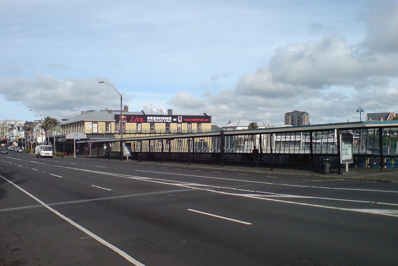
Look around first
What to notice
- The ridge line of Karangahape Road
- The intersection with Symonds Street
- The green slope of the cemetery
The story of the place
The intersection of Karangahape Road and Symonds Street stands on a high ridge of the Auckland isthmus; nearby, the green slope of the cemetery rises, while gullies fall away on either side. For centuries, this dry stretch between two harbours was convenient for travel across Tāmaki Makaurau, where fishing grounds and fertile land were valued. Before urban development, the central part of the isthmus belonged to the Te Waiōhua confederation of communities, and later Partington’s Mill stood at this corner, by which the vanished place was still remembered.
Before asphalt appeared, this intersection had another name: Te Iringa o Rauru—“the place where Rauru’s body was hung.” The tree stood at the northwestern corner of the present-day intersection of Karangahape Road and Symonds Street.
Tāmaki Makaurau, the present-day Auckland isthmus, provided access to two harbours, fishing grounds, fertile land, and short overland crossings. The central part of the isthmus was occupied by the Te Waiōhua confederation of communities. From the northwest, Ngāti Whātua advanced into these lands, seeking to establish control here. Rauru belonged to Ngāti Whātua and was among the people drawn into this struggle.
Te Waiōhua killed Rauru. His body was neither hidden nor buried: it was hung from a tree beside the road. Sources have not preserved the name of the person who killed him or the exact reason. But the consequence has survived. Rauru’s death became one of the reasons for new Ngāti Whātua campaigns. In the seventeen forties, they defeated Te Waiōhua and occupied a significant part of the isthmus. Rauru did not see this; the people who hung his body beside the road lost Tāmaki.
The road itself had been here long before either side of the conflict. Te Ara o Karangahape—the Karangahape path—ran along the ridge, connecting the shores of Waitematā Harbour with the western part of the isthmus and the route to Manukau Harbour. This explains why the modern street runs at a height: people travelled along the ridge without descending after every gully.
The name of the path is explained by a traditional story about Hape, or Rakataura, the keeper of ritual knowledge aboard the ocean-going canoe Tainui. According to one version, he was not taken on the voyage from the ancestral homeland of Hawaiki because of his crooked foot. Hape summoned the guardian Kaiwhare, crossed the ocean by another route, and arrived in Aotearoa before those who had left him behind. When Tainui entered Manukau Harbour, Hape watched the canoe from the ridge near present-day Cornwallis and greeted his relatives with a welcoming call—a karanga. That is why tradition calls that headland Karanga-a-Hape, “the call of Hape.”
The call itself did not sound near Symonds Street. This Auckland ridge received the same name because the long overland route to Karanga-a-Hape began here. People followed it to the place associated with Hape, and the name of the destination passed to the path.
The tree from which Rauru’s body hung is gone. Later, the place was identified by Partington’s Mill, which stood on the corner; it was demolished in nineteen fifty. The intersection and the direction of the ancient path remain. Road signs have preserved the name of Hape’s welcoming call, while Te Iringa o Rauru—the name of this particular corner—disappeared with the tree.
Useful on site
Open street section; traffic, events, and roadworks may affect the comfort of the walk.
Checked: June 28, 2026. Check the official source before visiting.Observe from the sidewalk and use the marked crossings: there is no need to go down to the road or look for an entrance to the cemetery at this stop. The mill has not survived, so its site must be imagined above the present-day rooftops.