 Guide On Map
Mt Eden and Maungawhau: streets, crater, summit
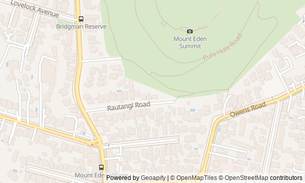
From Cucksey's Corner along Puhi Huia Road to the summit of Maungawhau
Guide On Map on your phone
Open the walk like a regular app
It takes about 10 seconds to install. No app store needed.
The whole path
Route map
About the walk
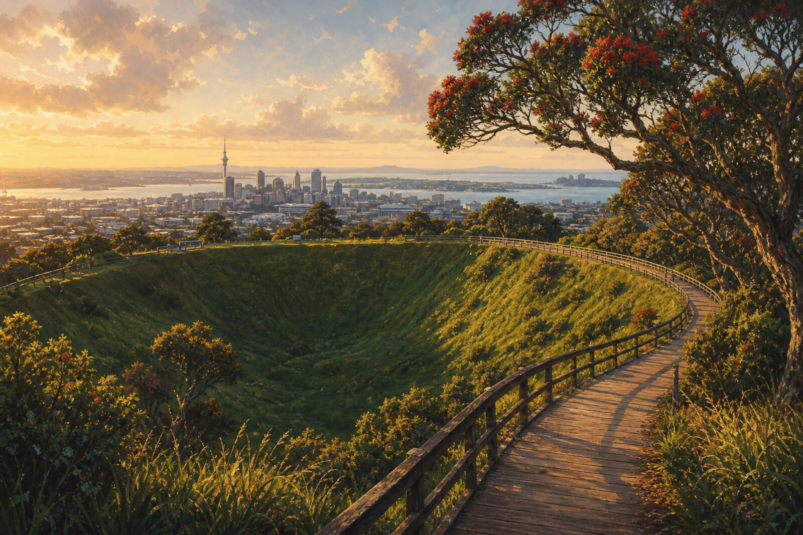
You will begin beside a row of brick buildings and a wooden church in the old center of Mt Eden. Then Puhi Huia Road will lead you up the slope: past a former tearoom, a sacred crater, and the boardwalk at the summit. The city will reveal itself gradually—first as streets at the foot of the hill, then as harbours, volcanic hills, and a distant island. The panorama is the finale, but not the only reason to climb.
Questions will emerge along the way: why is the date on a façade older than its bricks? How could a nighttime request for water break a recent peace? Why was a boardwalk laid above the ground of an ancient settlement? The story rests on human choices, visible traces, and careful qualifications. Tradition remains tradition; documented history remains documented. By the end, you will be able to point out where Auckland grew around the maunga, where it took stone from it for its streets, and where it set the point to which it tied its plans.
Why this order
At Cucksey's Corner, you will first see how residents formed a suburban center around a shop and a church. From here, Puhi Huia Road leads to the slope's older memory: a tradition of escape explains the road's name before you enter the former pā. The kiosk stands at the transition from the city road to the upper part of the maunga, making it the right place for a contemporary account from iwi. Next, the southern crater marks the boundary between residential terraces and tapu; immediately beyond it, the boardwalk opens up the upper level of the pā and explains why visitors were lifted above the ground. From the summit, the route heads west, where the cut of a quarry shows the cost of building a city. At the survey marker, you can take in the harbour, Sky Tower, and volcanic hills, and understand why Auckland's plans were brought together from here.
Those who want more than a panorama and would like to understand how Maungawhau is shaped Those interested in Māori traditions and their connection to the visible landscape Those who enjoy bringing together urban history, archaeology, and geology
Those looking for a level walk with no climb Those who want only a quick trip to a viewpoint Those who prefer interiors and museums to an outdoor route
Before you go
Wear shoes with reliable grip and bring water: the route gains elevation, and the open summit feels colder than the streets below. On the maunga, stay on marked paths and the boardwalk; do not descend into the crater or step onto grassy terraces for a photo—the uneven ground may be the remains of homes and storage pits. Access inside Te Ipu Kōrero depends on opening hours, but you can hear the building's story from outside as well. Before climbing, check the cloud cover and wind, and follow any temporary barriers and signs on site.
When to go
Choose daylight hours and allow time for seven unhurried stops. In the morning, the landforms are usually easier to make out, while low evening sun brings out the terraces and neighboring cones more clearly; at dusk, the details disappear quickly.
Backup plan
If clouds cover the summit, still walk the lower section from the village to Te Ipu Kōrero: these stops do not depend on a distant panorama, and the slopes and architecture remain easy to read. In strong wind, heavy rain, or if the upper path is closed, do not go around barriers across the grass—finish the walk at the last accessible point and return by the same permitted route. Save the northern and western views for another clear day: their distance is what makes them complete final stops.
Route conditions
Surface. Paved — 1.3 km; unpaved — 439 m (data covers 91% of the route)
Stairs. Flights: 3, 109 m in total
Access. Wheelchair — no; stroller — limited (stairs)
Facilities. Toilets — 1
Elevation. Ascent — 151 m; descent — 88 m
OpenStreetMap extract of June 23, 2026: database data, not a check on the ground. Data © OpenStreetMap contributors, ODbL licence
Walk plan
Open in maps ↗- 1
Cucksey's Corner and the Methodist Church
Here you will see how a grocery shop and a church congregation created the center of a new suburb. - 2
Puhi Huia Road: the runaway woman's slope
The road introduces a legend of a marriage that may have disrupted the recently established peace. - 3
Te Ipu Kōrero: From Teahouse to the Voice of the Maunga
Here, a city teahouse and an iwi storytelling center come under one roof. - 4
Te Kapua Kai a Mataaho: bowl of fire
This point will explain why a large settlement had a center that its residents did not enter. - 5
The summit beneath the boardwalk
The boardwalk will link the upper tier of the pā hidden beneath your feet with its destruction and present-day protection. - 6
Stone River to the West
The western view links an ancient lava flow, a quarry blast, and stone in Auckland's built environment. - 7
Waitematā and the fiery horizon
The final stop will explain how the view from the volcano became the basis for the city's measurements.
Route features
Everything you need stays in the browser
Progress, saves and your trip plan are stored on this device.
Add Guide On Map to your home screen so the walk opens outside the browser.
How we handle sources, maps and corrections: our editorial standards