City guide

Quito

3 published routes

3 walks94 places on the map
Choose a routeQuito attractions on the map

3 city routes have been published; other walks are being prepared and will be added gradually.
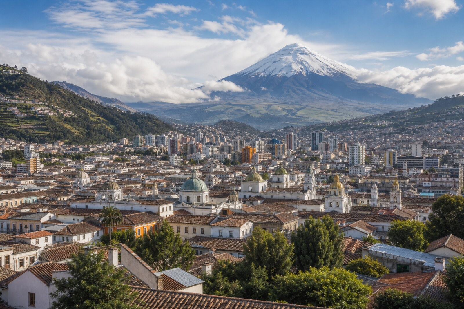
Generated editorial hero image for the city of Quito

Routes

Interactive city map

Explore Quito on the map

Start with 18 highlights or explore all 94 curated places.

94

Places to see

18 of 18
  1. Basilica of the National Vow: story on the “Historic Quito: churches, plazas, and La Ronda” route

    Here, a state religious promise becomes a dispute over the right to speak on behalf of the country, and a long construction project funded by private donations.

  2. Calle Leonardo Tejada: story on the “Guápulo: Down from Quito to the Sanctuary” route

    The final stop links the name on the sign to the brothers’ joint work restoring the main altar.

  3. Camino de Orellana: story on the “Guápulo: Down from Quito to the Sanctuary” route

    The descent will connect today’s route into Guápulo with the expedition that set out from here beyond the Andes and broke apart at the rivers.

  4. Church of the Society of Jesus: story on the “Historic Quito: churches, plazas, and La Ronda” route

    The gilded interior becomes the setting for the story of how church testimony turned a laywoman’s death into voluntary martyrdom.

  5. Cruz Loma Upper Station: story on the “TelefériQo and the Pichincha Highlands” route

    This stop will connect the spur's name with a scientific dispute over the shape of the Earth.

  6. Fray Antonio Rodríguez Museum: story on the “Guápulo: Down from Quito to the Sanctuary” route

    The painted cycle shows how an account passed on to the brotherhood became visible proof of the local cult.

  7. Guápulo Sanctuary: story on the “Guápulo: Down from Quito to the Sanctuary” route

    A small portable image will explain where the funds for the large church and its decoration came from.

  8. La Ronda: story on the “Historic Quito: churches, plazas, and La Ronda” route

    A family restaurant concludes the route with the story of a house restored after the loss of its secret room.

  9. Mirador de Guápulo: story on the “Guápulo: Down from Quito to the Sanctuary” route

    Here you will see why the festival begins up high and how much neighborhood work is needed for the shared procession.

  10. Páramo Trail: story on the “TelefériQo and the Pichincha Highlands” route

    Here, the compromise between tourism, community income, and conserving the water-gathering slope will become visible.

  11. Plaza de Guápulo: story on the “Guápulo: Down from Quito to the Sanctuary” route

    This open space shows where personal festival obligations became exchanges among families.

  12. Plaza de San Francisco: story on the “Historic Quito: churches, plazas, and La Ronda” route

    Documents about the blacksmith distinguish the real agreement for a family chapel from the famous legend.

  13. Plaza Grande: story on the “Historic Quito: churches, plazas, and La Ronda” route

    The square will show why taking over several buildings made it possible to change the government without a battle—and why that did not save the conspirators.

  14. Quito Metropolitan Cathedral: story on the “Historic Quito: churches, plazas, and La Ronda” route

    This stop connects a church-state conflict with an investigation in which the evidence outlived the name of the criminal.

  15. Swing in the Clouds: story on the “TelefériQo and the Pichincha Highlands” route

    A simple structure will show what became of the plan for a large entertainment complex.

  16. TelefériQo Departure Station: story on the “TelefériQo and the Pichincha Highlands” route

    Here you will understand how the line’s design determined the course of the nighttime rescue operation.

  17. Trailhead to Rucu Pichincha: story on the “TelefériQo and the Pichincha Highlands” route

    The final stop will show how the cable car changed the old route across the range.

  18. Volcano Platform: story on the “TelefériQo and the Pichincha Highlands” route

    The signboard will help explain why Pichincha’s two peaks bore mixed-up names for so long.

The map is temporarily unavailable. Every place remains available in the list.
18 places on the mapOpenFreeMap · © OpenStreetMap contributors

Want every route in the city?

Thanks — your interest is noted.