 Guide On Map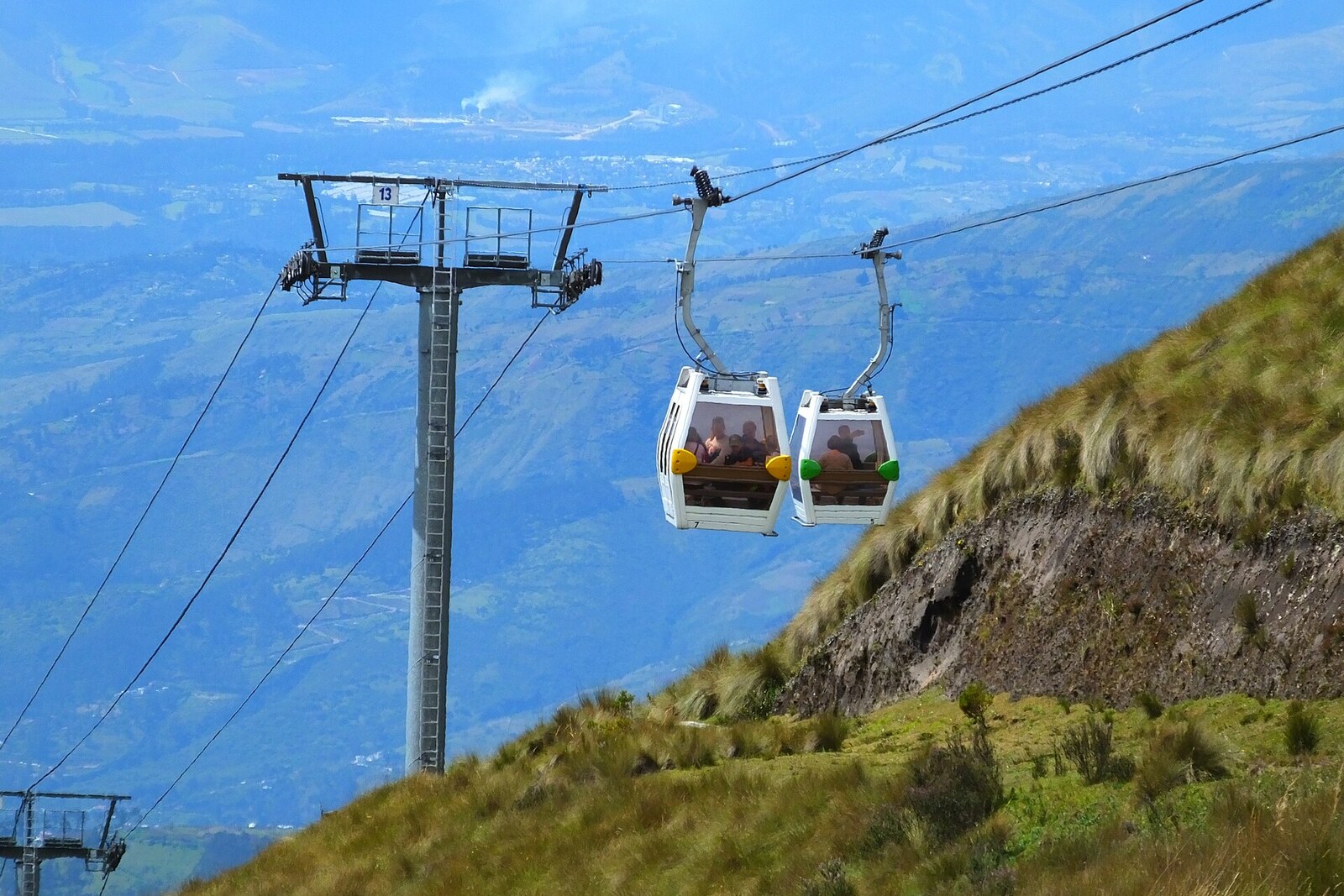
Look around first
What to notice
- Upper-station platform
- Cabins turning around
- Low shrubs
- Tough grass
The story of the place
The upper station marks the end of the ascent on the eastern slope of Rucu Pichincha, at an elevation of three thousand nine hundred forty-seven meters. Here, the cabins curve around the drive wheel and head back down, while passengers leave the Andean forest for the páramo—a highland region of low shrubs and tough grass. The station's name translates from Spanish as “Hill of the Cross.”
This cross was not erected for worship services. In seventeen thirty-six, the French Geodesic Mission to the Equator arrived in Quito. Scholars in Paris disputed the shape of the Earth: Isaac Newton maintained that rotation flattened it at the poles, while measurements by the Cassini family indicated that the planet was, on the contrary, elongated. Testing the calculations was entrusted to people prepared to spend years with angle-measuring instruments on Andean summits.
Two French academicians, Pierre Bouguer and Charles Marie de La Condamine, climbed this spur for the sake of a single fixed reference point. They set up a marker shaped like a cross on the summit. It had to be visible from far away: surveyors on neighboring heights aimed their instruments at the same point, measured angles, and linked the mountains with imaginary triangles. Knowing the length of one side of such a triangle, they calculated the other distances without laying a measuring chain across the ravines.
Charles Marie de La Condamine risked more than his reputation as an academician. He advanced part of the expenses from his own money and later asked the king to reimburse those sums. The work stretched out for about eight years. Pierre Bouguer returned to France in seventeen forty-four, and Charles Marie de La Condamine several months later. Their measurements confirmed that the Earth is flattened at the poles. Both published their calculations, although by the end of the journey there was no longer a single unified team.
The present platform appeared only in two thousand five and stands below that old geodetic point. The measuring cross itself has not survived. Its name remained with the mountain spur, and then passed to the upper station: Cruz Loma.
Useful on site
Accessible only during TelefériQo operating hours. Return to the boarding area with time to spare: the descent itself takes about eighteen minutes.
Checked: June 29, 2026. Check the official source before visiting.Stand still, assess your breathing, and add a warm layer before going out onto the open slope. If you feel noticeably worse, return downhill.