 Guide On Map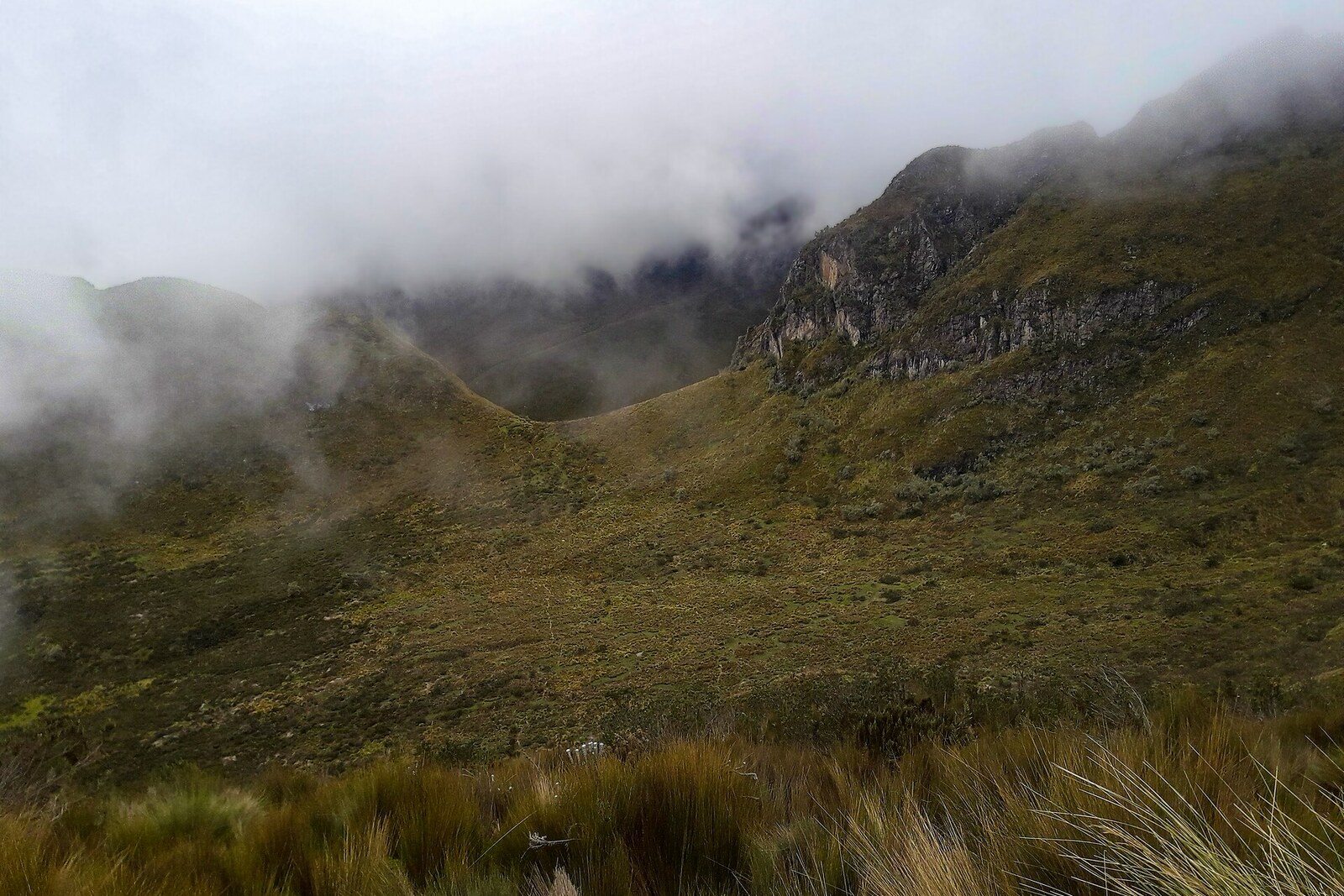
Look around first
What to notice
- Narrow trail
- Tough grass
- Exposed patches of soil
- Intact turf
The story of the place
Beyond the upper station, a narrow trail leads into stands of tough grass. This is páramo—the treeless highlands of the humid tropical Andes. On the slope of Pichincha, it begins where it is already too cold for trees to grow in an unbroken belt. Beneath the grass lies porous soil made of volcanic ash and slowly decomposing organic matter. It takes in water and gradually releases it into the streams that supply Quito. Plowed or trampled soil loses this capacity and is more easily carried down the slope with runoff.
For the thirty families of San Francisco de Cruz Loma, this was long the land from which they made a living through farming and livestock raising. Animals ate away and trampled the plant cover, while giving up grazing meant losing part of their income. In two thousand seventeen, the residents made an agreement with the city's FONAG: the community would reduce pressure on the páramo, restore springs, and watch over the slopes, while the fund would help replace their former income with community tourism.
The residents began leading tours and horseback rides, learning to work as guides, welcome guests, and maintain routes. The women of the community opened food service for visitors; over time, this work gave them twenty-seven paid positions. The cable car brought people directly to the highlands, and families that had once released livestock here now earned money by guiding guests through the same land.
But in two thousand nineteen, fund staff and residents surveyed the upper part of the páramo and discovered a new problem. Tourists were leaving the marked paths, and the many footprints were tearing up the turf. The stems recovered, but the damaged soil remained exposed to water. The income for which the families had given up their former use of the slopes had itself begun to damage the protected area.
The community set about restoring the trampled cover and established nurseries of native plants. The trail was given a quite literal task: to keep many feet within one strip. Horseback rides from Cruz Loma and the route to Rucu Pichincha are still run by residents of San Francisco de Cruz Loma. The trampled line beneath your feet and the intact turf on either side of it are the result of their agreement: a passage was left for people, while the rest of the soil was given back to grass and water.
Useful on site
Accessible only when TelefériQo is open and the weather is good. After the station closes, returning by cable car is impossible.
Checked: June 29, 2026. Check the official source before visiting.Do not leave the trail or trample the water-soaked soil. Do not disturb livestock, dogs, or wild animals; take your trash with you.