 Guide On Map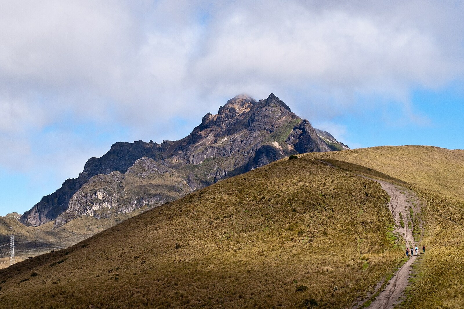
Look around first
What to notice
- Signpost
- Trail to Rucu Pichincha
- Slopes of Rucu Pichincha
The story of the place
Before the cable car opened in two thousand five, Quito residents began the journey to Rucu Pichincha below, by Avenida Occidental. Cattle-riding herders, workers from nearby estates, and hunters used these slopes for practical purposes. Urban mountaineers carried food and equipment for a complete crossing of the Pichincha range. Reaching the Cruz Loma páramo on foot and spending the night here was already considered a trip in its own right. Those who continued to the summits had a full day's climb from the city behind them.
The complete crossing took about three days. From Cruz Loma, travelers went to the first Rucu rocks, climbed the usual route up a loose sandy slope, and after the summit descended westward. They spent the second night at the shelter of what was then Civil Defense. On the third day, they reached Guagua Pichincha and then made their way to the village of Lloa. There, dusty and tired travelers could only hope that someone would give them a ride back to Quito.
The cable car removed the first major climb from this route. In eighteen minutes, the cabin takes a person to the place that people once reached only after spending the night there. Most climbers now return from Rucu by the same route: from Cruz Loma to the summit is about five kilometers, and the whole outing takes from five to seven hours. Those who cross both Pichinchas often reverse the old route and travel from west to east, so that they finish the crossing by descending in the cabin.
Beyond the sign, the protected area of the complex ends. The operator considers the trail farther on to be outside its boundaries and recommends setting out for the summit no later than eleven o'clock. At this point, the earlier traveler already had the climb from Quito behind them; today's traveler has a cabin ride behind them and all of Rucu ahead.
Useful on site
Available during TelefériQo operating hours. Allow extra time for the return to the upper station and the descent; the cabin ride itself takes about eighteen minutes.
Checked: June 29, 2026. Check the official source before visiting.End your walk here if you have not prepared separately for the climb. Do not continue in fog, when tired, or without enough time in reserve for the return.