 Guide On Map
Strasbourg between France and Germany: Grande Île and Neustadt
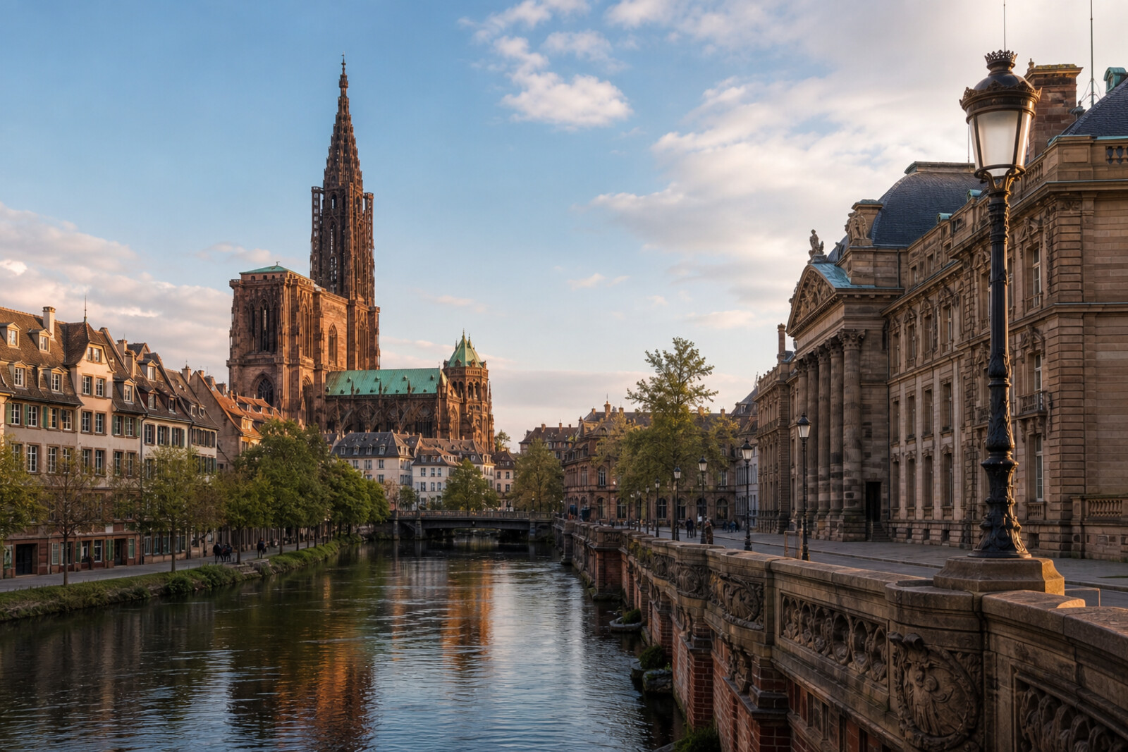
From Strasbourg Cathedral through Petite France to Palais universitaire
Guide On Map on your phone
Open the walk like a regular app
It takes about 10 seconds to install. No app store needed.
The whole path
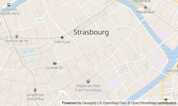
Route map
About the walk
You will walk through two halves of Strasbourg. First, the route crosses Grande Île: from the Cathedral and the episcopal palace, through Place Kléber, to the canals of Petite France and the old fortifications. Then it turns north toward Place Broglie, crosses the water, and enters Neustadt—the German Neustadt of broad vistas, an imperial palace, and a university.
On the island, there are narrow streets, half-timbered houses, towers, and locks. Beyond the canal, the scale changes: circular gardens, administrative facades, a straight avenue. Who saves buildings when those in power demand their removal? Why would a monument refuse to name an army? What remains of a hospital building when the building itself has long gone?
The story stays close to documents, everyday details, and honest qualifications when a city legend clashes with the archive. By the end of the walk, you will read Strasbourg through the traces of shifting borders: in its names, rescued buildings, and monuments without a single national answer.
Why this order
Strasbourg Cathedral and Palais Rohan stand side by side: after the city church, the palace shows how princely-episcopal power lived next door. From the ceremonial rooms, the route reaches Place Kléber, where the ceremonial city gives way to civic and commercial life. From there, the streets lead to Petite France: beyond the main square appears the working Strasbourg that depended on water. The canals naturally end at the Covered Bridges and Vauban Dam, where working water becomes a defensive line. From there, the route returns to Place Broglie, where revolutionary history links the old city with later changes of state. Across Pont du Théâtre, the route reaches Place de la République: this is where Neustadt begins, built after that change. Palais du Rhin explains the square's western edge, while the straight Avenue de la Liberté leads to Palais universitaire—from an imperial capital to a place where, after the war, a shared European system of legal protection was created.
Those visiting Strasbourg for the first time who want to connect its main districts in one walk Those who care about human stories behind familiar facades Those who enjoy testing city legends against documents
Those looking only for an easy postcard walk Those uninterested in wars, revolutions, and changing borders Those who prefer a short route within a single quarter
Before you go
Wear shoes suited to cobblestones and a long city walk: the route passes through old streets, bridges, and spacious Neustadt. The Cathedral remains an active church, so services and rules of conduct take priority over sightseeing. The interiors of Aubette, the museums at Palais Rohan, and individual spaces in other buildings may have their own access arrangements; treat them as an addition, not a condition of completing the route. Before setting out, check separately whether Vauban Dam is accessible and whether you can see Aubette's avant-garde rooms.
When to go
Choose daylight hours: the water, sculptures, and heraldry on the facades need good visibility. Allow extra time at the Cathedral if you want to see the astronomical clock, and do not begin the walk too close to evening—the passage from the old center to the university matters in its own right and should not become a rush.
Backup plan
If the Cathedral is inaccessible, take in its spire, west facade, and overall verticality from the square—the revolutionary story will not be lost. Closed museums at Palais Rohan and Aubette's rooms can be replaced by a careful look at their exterior architecture. If the terrace of Vauban Dam is inaccessible, stay by the water and study the towers, bridges, and the lock's long structure from nearby crossings. In heavy rain, move more quickly through the canals, but keep the stops from Place de la République to the university: this is the stretch that explains the city's transformation into an imperial capital.
Route conditions
Surface. Paved — 5.1 km; unpaved — 70 m
Stairs. Flights: 1, 6 m in total
Access. Wheelchair — no; stroller — limited (stairs)
Facilities. Toilets — 13; drinking water — 8
Elevation. Ascent — 47 m; descent — 55 m
OpenStreetMap extract of July 4, 2026: database data, not a check on the ground. Data © OpenStreetMap contributors, ODbL licence
Walk plan
Open in maps ↗- 1
Strasbourg Cathedral
Here the route begins a discussion of how a political order can be carried out while preserving its main purpose. - 2
Palais Rohan
This stop will show the cost of moving from one court to another for a fifteen-year-old future dauphine. - 3
Place Kléber and the Aubette
Here, the commercial risk of an avant-garde interior will be linked to its rapid disappearance and later restoration. - 4
Maison des Tanneurs and Petite France
This stop explains how craft architecture and a vanished hospital survived changes of use in different ways. - 5
Covered Bridges and Vauban Dam
Here, water becomes part of the fortress—and reveals the limits of engineering calculation during a siege. - 6
Place Broglie and La Marseillaise Monument
This stop follows the path of a marching song from a performance at home to the national anthem, and the fate of the people connected with it. - 7
Place de la République
Here it becomes clear why, in a border city, a war memorial refused to divide the fallen by army. - 8
Palais du Rhin
This stop will examine a postwar dispute in which a practical project nearly cost the city its imperial palace. - 9
Palais universitaire
The final stop will move the conversation from a border city to a hall where personal experience of war became a project for the international protection of rights.
Route features
Everything you need stays in the browser
Progress, saves and your trip plan are stored on this device.
Add Guide On Map to your home screen so the walk opens outside the browser.
How we handle sources, maps and corrections: our editorial standards