 Guide On Map
Derbent: From the Citadel to the Caspian Sea
From Naryn-Kala through the magals—to the lighthouse and the sea
Guide On Map on your phone
Open the walk like a regular app
It takes about 10 seconds to install. No app store needed.
The whole path
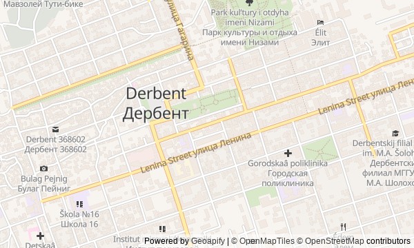
Route map
About the walk
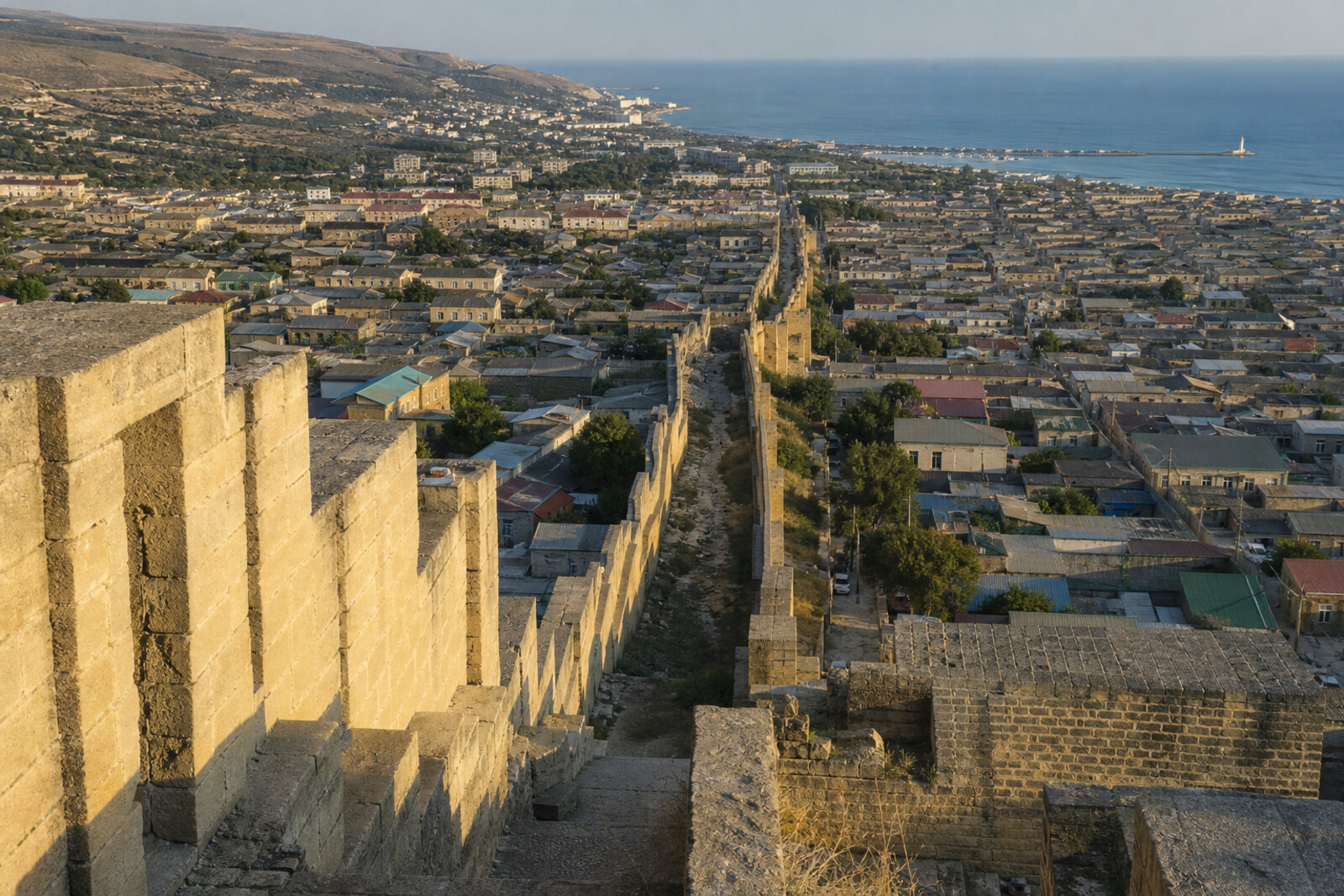
You will begin above the city, at Naryn-Kala, and descend toward the Caspian Sea through a corridor of old walls. The road takes you through the citadel, tight magals, the southern gate, bathhouse domes, and the courtyard of Juma Mosque. Then stone gives way to parks, a white tower, and open water.
Along the way, you will read the city through the things you meet. Why did a client accept masonry by its short inscriptions? What could a cup of sour milk decide? How did city lighting once manage to compete with a lighthouse?
The story will stay calm and concrete. You will hear where the document ends and local legend begins.
By the shore, you will carry away a way of reading Derbent from top to bottom: through the line of the wall, a courtyard of plane trees, and a white tower, understanding who held the passage between the mountain and the sea, and why.
Why this order
Naryn-Kala comes first because from its height the fortress's whole task becomes clear: to block the passage between the mountains and the sea. The cistern and the remains of the palace continue that idea inside the citadel—defense needed water, housing, and administration. Beyond the gate, the magals begin, where the military framework becomes an everyday city. The descent leads to Orta-Kapy, where neighborhood streets meet the southern wall and its main passage. After the gate, Maiden's Bathhouse shows private life within the fortifications, while the neighboring Juma Mosque reveals the city's shared public space. From there, the road leaves the tight quarters for the lighthouse on the northern wall: a land boundary gives way to a maritime marker. The final stretch to the Caspian Sea completes the descent by the water, beneath which lies the continuation of the ancient harbor.
Those who want to walk through old Derbent from top to bottom Those interested in fortress engineering and everyday urban life Those who enjoy stories of decisions, mistakes, and surviving traces
Those expecting only flat, wide streets Those looking for a short visit to a single fortress Those who prefer an overview without historical detail
Before you go
Wear shoes with grippy soles: after the citadel, the route follows slopes, stone, and cobblestones for a long time. Bring water, but do not count on quickly refilling it inside the historic sites. Juma Mosque remains an active religious space—choose modest clothing, speak quietly, and do not disturb prayer. The reservoir, bathhouse, and some sections of the fortress may be only partly accessible, so the route is designed to work with exterior viewing as well. The lighthouse is active, and the tower is not open for unrestricted climbing. Do not go beyond barriers or try to look for the remains of the sea walls by entering the water.
When to go
Start in the first half of the day so you can take your time at the citadel and make the descent to the shore in daylight. Do not rush at Naryn-Kala: without that first overview, the geography ahead is harder to read. For the whole walk, it is best to set aside half a day, with pauses in the magals and in the mosque courtyard if it is open to visitors.
Backup plan
If you cannot get inside Naryn-Kala, begin at an accessible viewpoint near the fortress and first locate the sea, the slope, and the direction of the walls. View a closed reservoir or bathhouse from outside, without trying to enter through service passages. If Juma Mosque cannot be visited because of prayer or restrictions, pause at the entrance and continue toward the lighthouse. In rain, do not take risks on wet stone: shorten the walk after the magals or the mosque. If access to the lighthouse is blocked, it is enough to see the tower from a public street; the ending by the shore will still make sense.
Route conditions
Surface. Paved — 3.1 km (data covers 69% of the route)
Stairs. Flights: 3, 148 m in total
Access. Wheelchair — no; stroller — limited (stairs)
Facilities. Toilets — 3; drinking water — 2
Elevation. Ascent — 3 m; descent — 202 m
OpenStreetMap extract of July 2, 2026: database data, not a check on the ground. Data © OpenStreetMap contributors, ODbL licence
Walk plan
Open in maps ↗- 1
Naryn-Kala
From here, it will become clear why the city stretches in a narrow strip from the citadel to the sea. - 2
The Cistern and the Khan's Palace
The water supply and palace finds will show what the ruler and garrison required during a long siege. - 3
Magals
A neighborhood column will help you see how neighbors jointly maintained the mosque and everyday communal affairs. - 4
Orta-Kapy
The upper masonry makes it possible to distinguish the parts of the gate that builders from different periods left one above another. - 5
Maiden's Bathhouse
The bathhouse complex helps explain the wedding transition from maidenhood to life in the husband's household. - 6
Juma Mosque
The courtyard will show how a shared city space returned from official use to Friday prayer. - 7
Derbent Lighthouse
The tower shows how sailors’ complaints forced engineers to recalculate the city’s light. - 8
Caspian Sea
At one point, the shore will bring together the fortress walls, the sunken harbor, and the final struggle for power in this story.
Route features
Everything you need stays in the browser
Progress, saves and your trip plan are stored on this device.
Add Guide On Map to your home screen so the walk opens outside the browser.
How we handle sources, maps and corrections: our editorial standards