 Guide On Map
Commercial Chiang Mai along the Ping River
From Warorot Market through Wat Ket Karam to Nawarat Bridge
Guide On Map on your phone
Open the walk like a regular app
It takes about 10 seconds to install. No app store needed.
The whole path
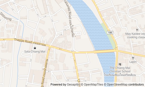
Route map
About the walk
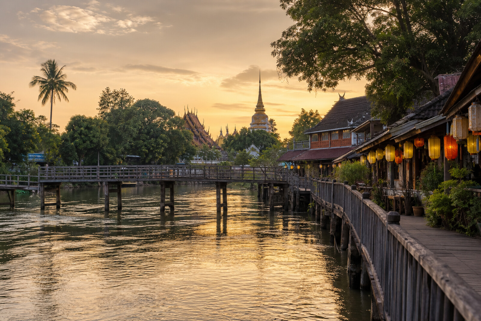
You will begin among the stalls of Warorot Market, pass through a commercial lane to the flower-lined riverbank, and cross the Ping River on a pedestrian bridge. On the other bank, the road will lead you to the old shops of Charoen Rat Road, a temple courtyard, a small museum, and two bridges that changed along with the city’s traffic.
The questions will emerge from small details. Why did a shop owner bring a red-faced statue to an abandoned shrine? What did working elephants have to do with the flower market? Why did traffic management require an iron barrel?
The story will rest on human decisions, lost buildings, and objects given new uses. The tale of a changing wind will remain a tale, while documented events will remain facts.
By the end, you will be able to point out on both sides of the Ping River where a shop greeted its customers, a courtyard received boat cargo, and bridges redirected trade toward the railway.
Why this order
Warorot Market first shows trade as family property that had to be saved. Just beyond the market, the shrines add a second kind of support: trust within the merchant community. Ton Lam Yai Market then brings the route back to the river and explains where the markets got their people and goods. Chansom Memorial Bridge physically links this commercial bank with Wat Ket Community: the walk continues across a crossing built specifically between the markets and the eastern community. On Charoen Rat Road, the layout of the former port becomes visible—a shop by the road, living quarters within, and a courtyard by the water. Farther south, Iron Bridge (Saphan Lek) shows how roads and a new urban culture took the place of river traffic. Returning to Wat Ket Karam will make sense: after the lost bridge, the route leads to a house preserved together with the belongings of a vanished neighborhood. The final descent to Nawarat Bridge completes this shift in transport where traffic from Chiang Mai Railway Station demanded an entirely different crossing.
Those interested in Chiang Mai beyond the old city Those who enjoy markets, old commercial neighborhoods, and local museums Those who want to understand the role of the Ping River in the city’s history
Those looking for a route focused only on famous temples Those uninterested in the history of trade and urban transport Those who prefer a walk without markets and busy streets
Before you go
Start in the morning, when the markets are already open and the heat is still manageable. Choose respectful clothing for temples, and do not count on Wat Ket Karam Museum necessarily being open: it is best treated as a possible bonus to the temple courtyard. On bridges and near the market, stay on the sidewalks, keep an eye on your belongings in the crowds, and take breaks in cafés or among the market stalls rather than in the middle of traffic.
When to go
Allow 2–3 hours without lengthy shopping, a museum visit, or leisurely food stops.
Backup plan
If you are tired after Chansom Memorial Bridge, end the walk at Wat Ket Karam: the temple courtyard and Charoen Rat Road already offer a complete story of the riverside community. Save the bridges for another evening.
Route conditions
Surface. Paved — 2.6 km (data covers 84% of the route)
Stairs. Flights: 1, 7 m in total
Access. Wheelchair — no; stroller — limited (stairs)
Facilities. Toilets — 5
Elevation. Ascent — 18 m; descent — 22 m
OpenStreetMap extract of June 18, 2026: database data, not a check on the ground. Data © OpenStreetMap contributors, ODbL licence
Walk plan
Open in maps ↗- 1
Warorot Market (Kad Luang)
Here begins the story of a commercial district that the princely family turned into a source of shared income. - 2
Shrines of Kuan U and Pung Thao Kong
This stop will show how merchants turned personal devotion into a way to support the whole lane. - 3
Ton Lam Yai Market
Here, river trade appears as a chain of transformations, from an elephant yard to a flower market. - 4
Chansom Memorial Bridge
A personal donation will turn an unreliable seasonal crossing into a permanent connection between two trading riverbanks. - 5
Charoen Rat Road and the Wat Ket Community
The layout of the houses will explain how one family could trade by the road, live inside, and receive cargo from the yard at the same time. - 6
Iron Bridge (Saphan Lek)
A copy of a lost crossing shows how a transportation project from the nineties found an unexpected life in film. - 7
Wat Ket Karam Temple and Museum
The former abbot's house will connect the history of a vanished riverside quarter with the objects its residents preserved. - 8
Nawarat Bridge
The final crossing will show why the railroad required the distinctive steel spans to be replaced with a wide concrete bridge.
Route features
Everything you need stays in the browser
Progress, saves and your trip plan are stored on this device.
Add Guide On Map to your home screen so the walk opens outside the browser.
How we handle sources, maps and corrections: our editorial standards