 Guide On Map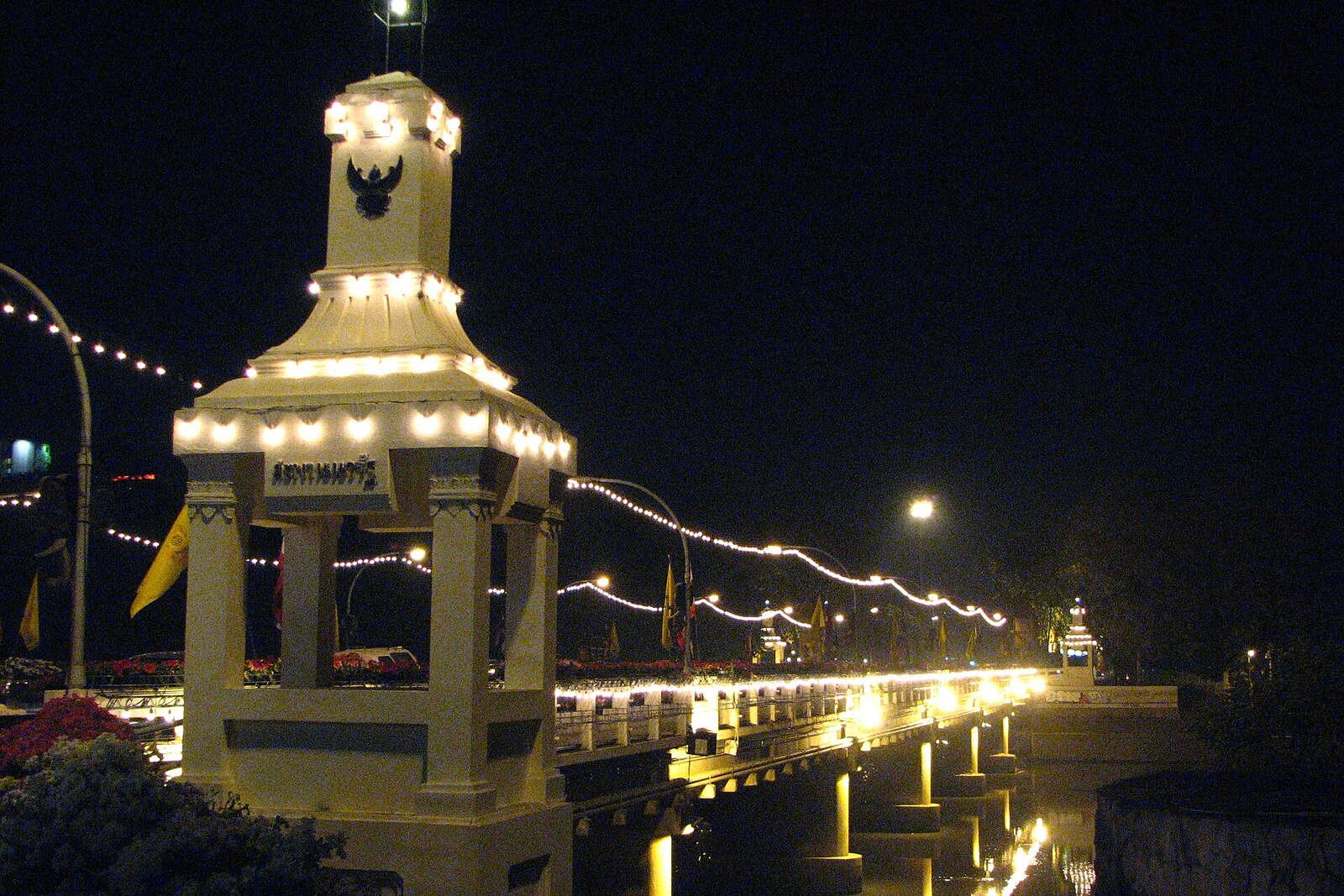
Look around first
What to notice
- Wide roadway
- Concrete spans
- Sidewalks over the Ping River
- Direction of Charoen Mueang Road
The story of the place
In the middle of the last century, traffic controllers stood watch right in the middle of Nawarat Bridge. Sand was poured into an iron barrel, and a police officer climbed on top and manually turned the “stop” and “go” signs. The job was risky: the roadway, just over five meters wide, barely accommodated oncoming cars, and accidents happened more and more often.
This traffic emerged here after the railroad arrived. In nineteen twenty-one, trains reached Chiang Mai. Charoen Mueang Road led from the station to the river, and Tha Phae Road began on the other bank—the road to the commercial districts. Merchants carried agricultural goods across the Ping River to the station, and in the opposite direction, cars and factory equipment brought in from Bangkok. The old teak bridge proved too narrow and dilapidated for this flow. Officials ordered it dismantled and a five-span steel crossing built in the same place. It opened in nineteen twenty-three.
The steel bridge was named after Kaew Nawarat, the last ruling prince of Chiang Mai. Kaew Nawarat himself neither designed nor paid for the bridge: officials named the crossing in his honor as the serving head of the princely house. The name outlasted the office. After Kaew Nawarat died in nineteen thirty-nine, no successor was appointed, and the office of ruling prince was abolished.
Meanwhile, the flow between the station and the markets continued to grow. The traffic controller on the barrel could only let cars pass one at a time; widening the passage within the old steel arches was impossible. Provincial and municipal officials secured funding to replace the crossing. In the middle of the nineteen sixties, the steel spans were dismantled, and on December twenty-sixth, nineteen sixty-seven, the current reinforced-concrete bridge with a twelve-meter roadway opened.
Nothing remains here of the bridge on which a traffic controller stood above the cars with two signs: neither the arches nor the barrel itself. What remain are the direction of the road from the station to Tha Phae Road and the name of Kaew Nawarat—the man whose death also saw the office named in his honor disappear.
Useful on site
An open urban crossing; use the sidewalk and traffic lights, and take photos from safe approaches.
Checked: June 26, 2026. Check the official source before visiting.This is first and foremost an active urban artery: choose a safe sidewalk and do not linger near the edge. It is more convenient to end the route here and continue your walk along the bank you choose.