 Guide On Map
Pipe Track: Table Mountain's Working Slope
From Kloof Nek along Camps Bay to Corridor Ravine
Guide On Map on your phone
Open the walk like a regular app
It takes about 10 seconds to install. No app store needed.
The whole path
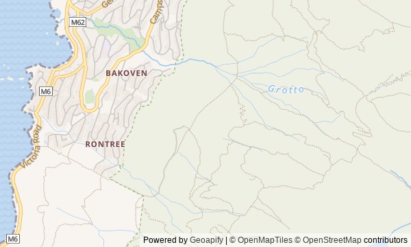
Route map
About the walk
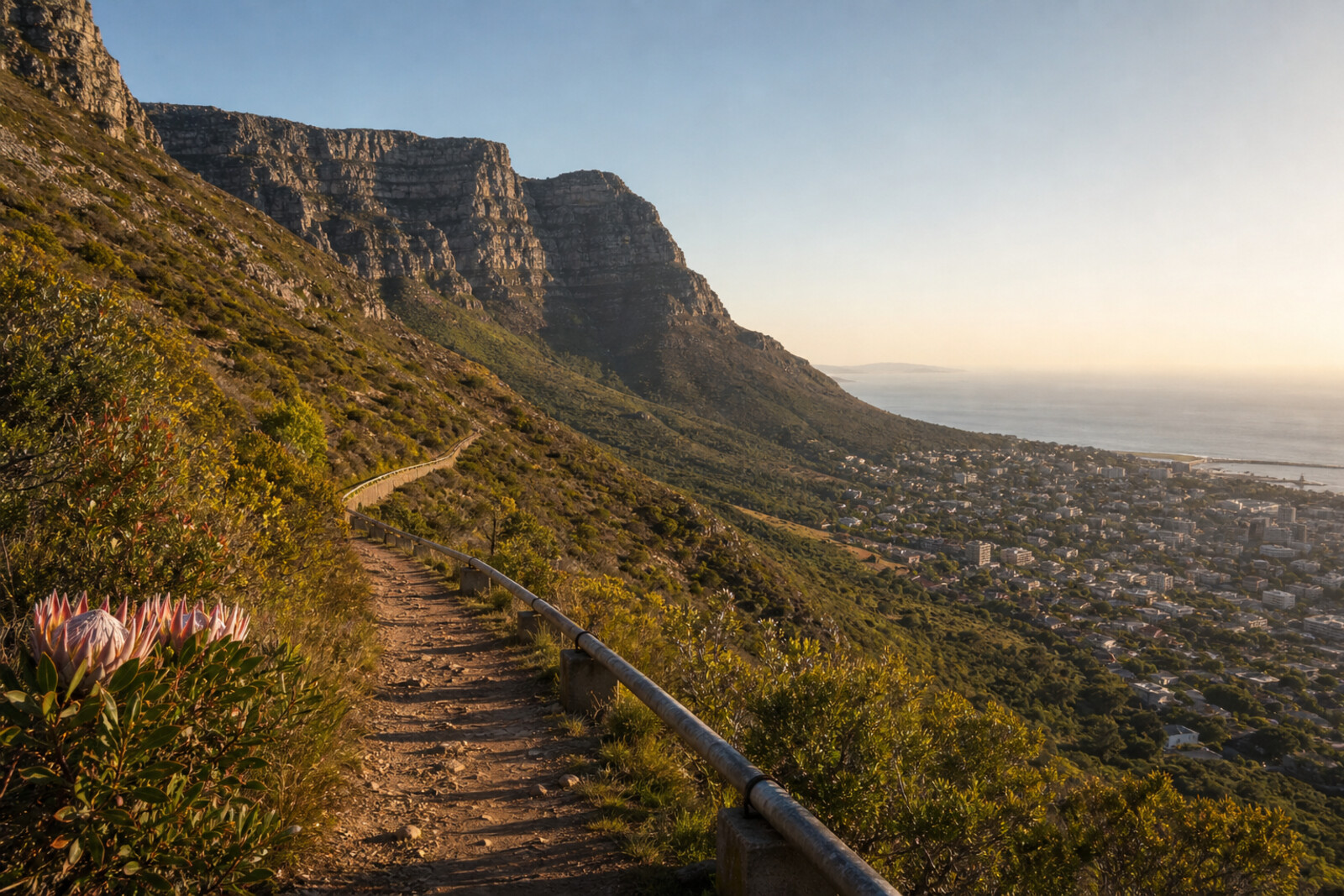
You will set out from the saddle at Kloof Nek along the Pipe Track on the western slope of Table Mountain. Below you, City Bowl, Camps Bay, and the Atlantic Ocean will shift into view; alongside you will be quartz sandstone, low fynbos, old pipes, and the ravines of the Twelve Apostles.
This is not a climb to the famous summit, but a route along the mountain's working edge. Here, people signaled to ships, argued over the right to trade, tried to grow a forest, and hauled building supplies to places no cart could reach. You will come across two cannons, rusting pieces of a cableway, and a tunnel portal. Each object leaves a question behind, while the story holds back the answer: why will a bay keep the surname of a man who lost his farm, and why will a waterworks need another passage through the same mountain?
The stories unfold quietly, through human decisions, failures, and traces that survived. By the end, you will read the western slope of Table Mountain as an old urban water route, not simply as Cape Town's backdrop.
Why this order
Kloof Nek sets up the first choice between city, sea, and mountain; the next view over City Bowl shows which bay and water source made a signal post worth keeping here. As the trail rounds the slope toward Camps Bay, the urban bowl gives way to the Atlantic shore, making the saddle's other side clear. Beyond the buildings begins open fynbos, where the history of settling the land runs into poor sandstone soil. The next ravine, Kasteelspoort, offers another answer to the same terrain: not planting, but a freight route to a construction site. From its traces, the route continues beside the pipe to Slangolie Ravine, where water passed through the mountain. The final stretch to Corridor Ravine lifts your eyes from the waterworks to the rock walls: engineers give way to climbers, and one continuous ridge breaks into gullies, buttresses, and peaks that never received an undisputed count.
Those who want to see Table Mountain through the lens of old infrastructure Those interested in engineering stories and human failures Those who prefer walking along a slope to heading straight for the summit
Those looking for a walk only along city streets Those who want natural views with no history Those expecting a quick climb to the summit
Before you go
Allow for the full journey there and back: on a linear route, it is easy to walk farther than your remaining strength or daylight allows. Check the forecast just before setting out, and do not assume conditions on the open western slope will stay the same all day. Bring enough water and food, protection from sun, wind, and rain, a charged phone, and a saved offline map. Your footwear should grip securely on rock and uneven ground. Tell someone your plan, stay on the main trail, and do not use ravines as improvised routes uphill.
When to go
Start in the morning and leave a generous amount of daylight for the return; in hot weather, the open slope is especially tiring.
Backup plan
Set a turnaround time before you start and keep to it, regardless of which stop you have reached. If cloud obscures landmarks, the wind strengthens, rain begins, or your pace is slower than expected, do not feel you have to reach Corridor Ravine. The first city and ocean panoramas already make a complete short version of the walk. Return along the familiar line of the Pipe Track, do not cut through ravines, and do not try to make up lost time by climbing quickly along an unfamiliar branch.
Route conditions
Elevation. Ascent — 389 m; descent — 339 m
OpenStreetMap extract of June 18, 2026: database data, not a check on the ground. Data © OpenStreetMap contributors, ODbL licence
Walk plan
Open in maps ↗- 1
Kloof Nek
This is where the story begins of how the saddle linked maritime observation, defense, and roads to the city. - 2
City Bowl: the city in a stone bowl
The panorama will link the city’s form with water, the port, and the struggle to mediate trade. - 3
Camps Bay: Names Above the Atlantic Ocean
This stop explains how a private farm disappeared while its owner’s surname came to occupy the entire bay. - 4
Fynbos
On poor soil, you will see the result of an unsuccessful attempt to replace native vegetation with a commercial forest. - 5
Kasteelspoort: a freight road to the sky
The ravine shows how builders turned an almost inaccessible slope into a freight route to the mountain dams. - 6
Slangolie: Water Through Table Mountain
The old tunnel outlet preserves a trace of the engineering struggle with fractured rock. - 7
Corridor Ravine: Apostles Beyond Counting
The final point links the disputed count of the Apostles with the history of the first difficult ascents up their walls.
Route features
Everything you need stays in the browser
Progress, saves and your trip plan are stored on this device.
Add Guide On Map to your home screen so the walk opens outside the browser.
How we handle sources, maps and corrections: our editorial standards