 Guide On Map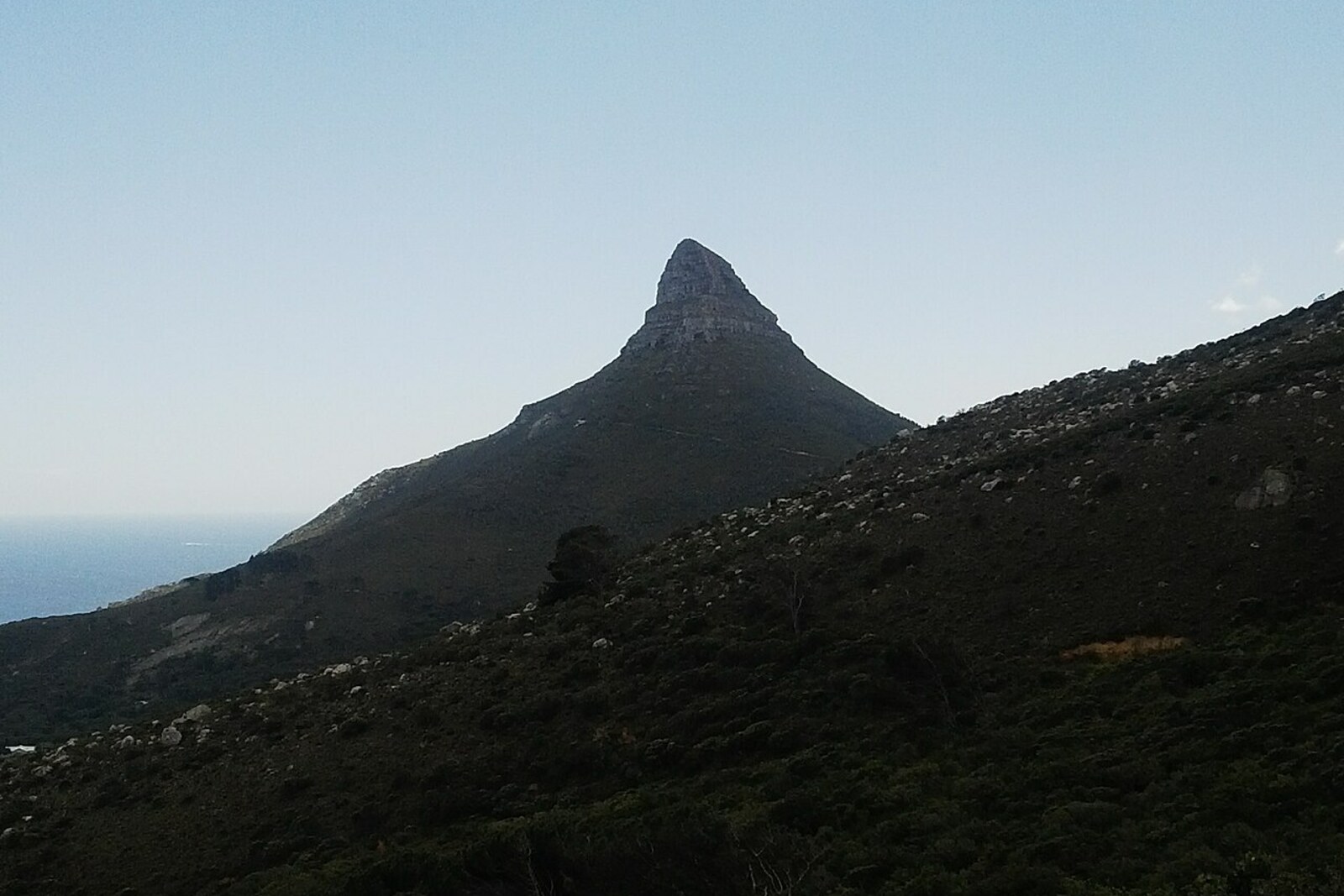
Look around first
What to notice
- The arc of Camps Bay
- The beach
- The strip of the Atlantic Ocean
- Development below the slope
The story of the place
The coastal arc of Camps Bay lies between the Atlantic Ocean and the mountain slope; residential neighborhoods crowd around the beach. A road once ran along the shore toward Cape Town, while soldiers dug fortifications by the bay. The old house on this land later served as a country residence for British governors. Ravensteyn Road runs below, preserving the name of the former plot.
Below the mountain trail lies the whole bowl of Camps Bay: the beach, dense development, and a strip of the Atlantic Ocean. In the middle of the eighteenth century, Ravensteyn stood here instead of a suburb. Its owners grew vegetables and kept livestock for the Cape Town market.
In seventeen seventy-eight, the farm passed to Anna Koekemoer, the widow of Johan Wernich. Her family lived off this land, and Anna had to run the farm without her husband. That same year, she married Frederick Ernst von Kamptz, a sailor from Mecklenburg who had been left in the Cape Colony because of illness. He was seeking permission to remain ashore.
Local tradition adds an escape: supposedly, after recovering, von Kamptz got out of the hospital through a window because sailors were not granted shore leave. His marriage to Anna and the transfer of the farm to him are confirmed much more reliably. Marriage turned the former patient into a landowner, and people began to call the bay Die Baai van von Kamptz—the bay of von Kamptz.
Von Kamptz laid out a coastal road from the farm to Cape Town. In seventeen eighty-one, French soldiers arrived to defend the Cape Colony against a possible British landing. They set up positions by the bay, dug fortifications, and damaged the road and the farm. Von Kamptz demanded compensation. In January seventeen eighty-six, the Cape administration agreed to pay compensation and took over the farm. Later, its house was turned into a country residence for British governors.
Von Kamptz lived here for about ten years and lost the land, but people continued to use the name of the bay. “Von Kamptz” gradually shortened to “Camps,” and then the English translated the word “bay”: Camps Bay was the result.
The boundaries of the old farm can no longer be made out among the houses. Its name remains in Ravensteyn Road below, while the sailor’s surname occupies the entire coastal arc from the slopes to the Atlantic Ocean.
Useful on site
Open mountain trail; stay on the main route.
Checked: June 28, 2026. Check the official source before visiting.On the open stretch, the sun and wind feel stronger; check how you are feeling and your water supply before continuing.