 Guide On Map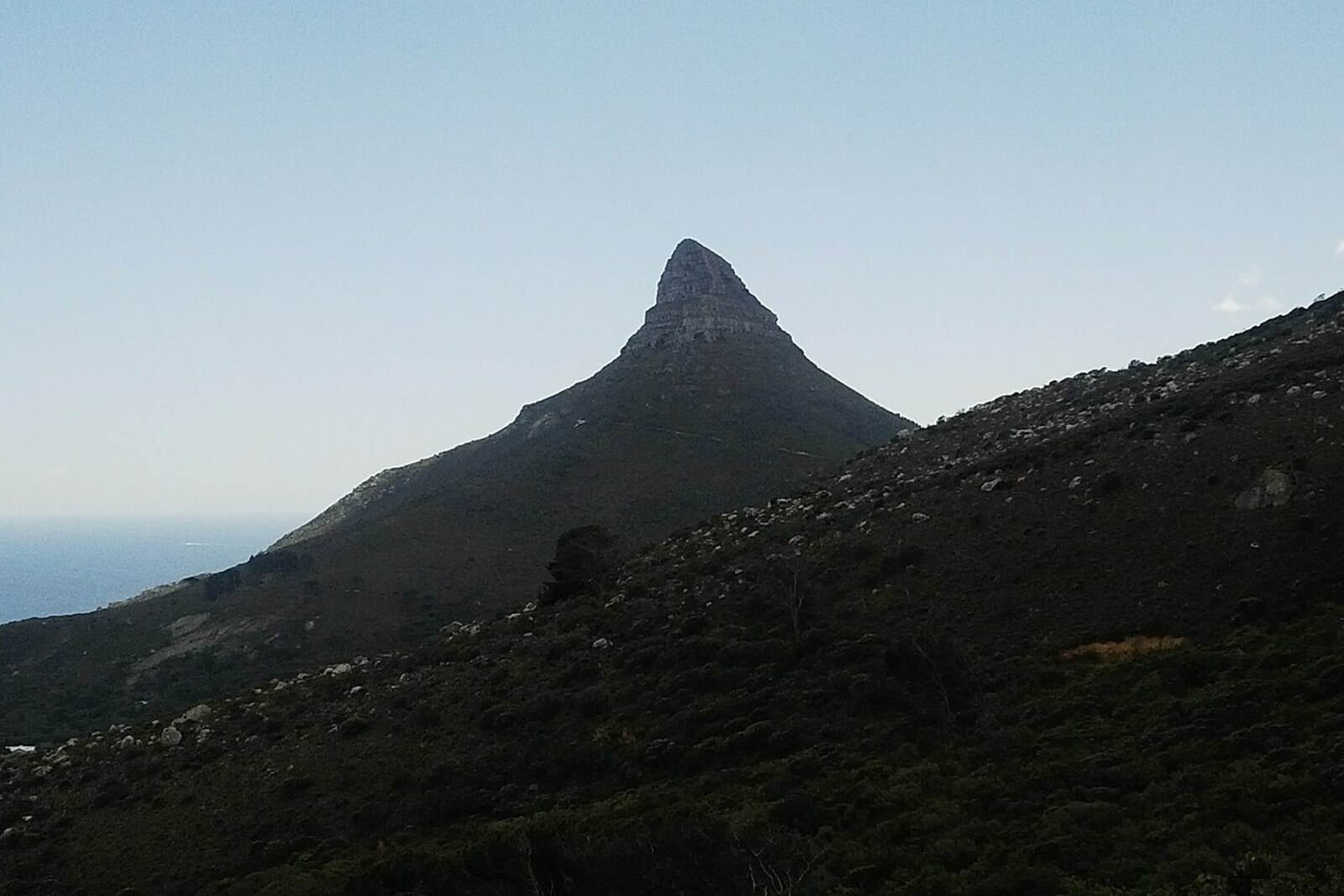
Look around first
What to notice
- The bottom of the City Bowl
- Table Bay
- Robben Island
- The slopes around the city bowl
The story of the place
The slopes of Table Mountain, Devil's Peak, Lion's Head, and Signal Hill converge around the city lowland; on the fourth side it opens onto Table Bay. This natural bowl was fed by streams running down the slopes all year round, while the fresh water of Camissa flowed from here to the sea. When the riverbank came under company control, the water was run through open channels to gardens and ships, and the first city streets were laid out alongside them. Over time, the polluted channels were covered with vaults, and Camissa continued to flow beneath the center of Cape Town.
At the bottom of the City Bowl, a port operated even before the fortress, the jetty, and the city streets appeared. It was established by the people of Autshumato—the leader of the Goringhaicona, one of the Khoikhoi communities of Table Bay, and an intermediary in trade with European ships. His community supplied sailors with fresh water and meat, passed letters between ships and cattle herders in the inland areas. Mediation made Autshumato a rich man and determined his standing among his neighbors.
For this work, he had to cross the ocean. In sixteen thirty, the English took Autshumato to Bantam, a port on Java, in present-day Indonesia. He returned with knowledge of English, set up a stopover on Robben Island, and then moved trade to the mainland, to the mouth of Camissa. This was what the Khoikhoi called the fresh water that flowed from Table Mountain to the bay.
It is water that explains why the city appeared here. City Bowl means “city bowl”: Table Mountain, Devil's Peak, Lion's Head, and Signal Hill surround it on three sides, while the fourth faces Table Bay. Streams ran down the slopes all year round. Ships traveling between Europe and Asia found a protected anchorage, drinking water, and provisions in one place.
In sixteen fifty-two, Jan van Riebeeck, commander of the Dutch East India Company, established a fort and a supply station at Camissa. Autshumato became his interpreter when livestock was purchased. But the company sought direct trade with large cattle-herding communities, bypassing the intermediary. As early as November of that same year, van Riebeeck wrote that if Autshumato obstructed this, his family and the other “water people” could be lured onto Robben Island and left there.
In July sixteen fifty-eight, Autshumato was forcibly sent to the island with two companions. There he procured his own food; he was given tobacco if he agreed to herd cattle. When the Dutch again needed an interpreter, he was secretly brought to the mainland and then sent back. At the end of November sixteen fifty-nine, Autshumato and a companion stole the island boat and escaped across the bay in it. They were thought to have drowned. Later, Autshumato sent the fort a request to let him settle nearby, and by sixteen sixty he was again interpreting negotiations with the Khoikhoi. Three years later, he died.
After seizing the riverbank, company employees ran water through open channels to gardens and ships. These channels set the direction of the first streets; the axis of present-day Adderley Street continues the line of the old water conduit. Later, townspeople covered the polluted channels with vaults and built the center of Cape Town above them. Camissa still flows from Table Mountain to the bay—now beneath the streets at the bottom of the City Bowl.
Useful on site
Open mountain trail; no shade and constant foot traffic.
Checked: June 28, 2026. Check the official source before visiting.Do not approach the edge for a photograph or linger in the middle of the narrow passage; it is best to choose a viewing point with firm ground underfoot.