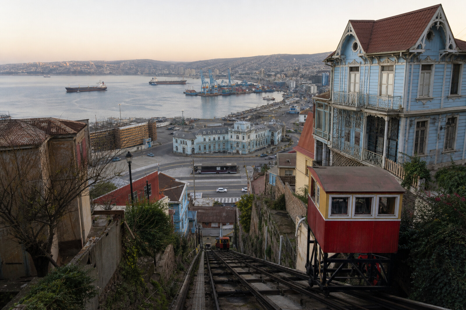
City guide

Valparaíso

1 published route

1 walk83 places on the map
Choose a routeValparaíso attractions on the map

The first city route has been published; other walks will be added gradually.
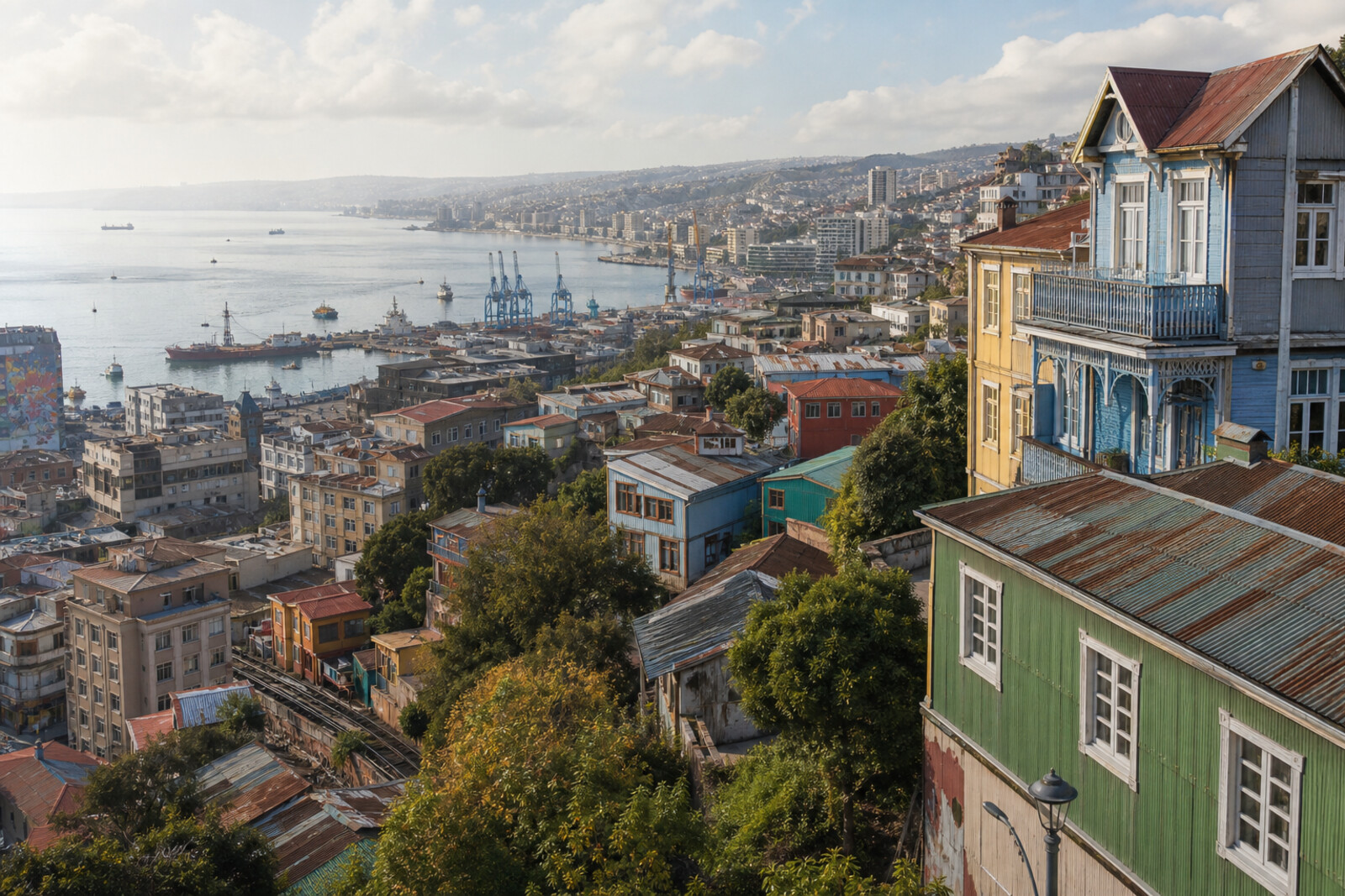
Editorial hero image generated for the city of Valparaíso

Routes

Interactive city map

Explore Valparaíso on the map

Start with 10 highlights or explore all 83 curated places.

83

Places to see

10 of 10
  1. Ascensor El Peral: story on the “Valparaíso: the Port, Cerro Alegre, and Cerro Concepción” route

    The ride will show how residents’ daily route became a private transport calculation.

  2. Baburizza Palace: story on the “Valparaíso: the Port, Cerro Alegre, and Cerro Concepción” route

    The museum separates the history of the donated collection from that of the house, which had to be bought back separately.

  3. Cerro Concepción and St. Paul's Anglican Church: story on the “Valparaíso: the Port, Cerro Alegre, and Cerro Concepción” route

    The church’s façade preserves a trace of a religious prohibition and the way it was circumvented.

  4. Echaurren Square: story on the “Valparaíso: the Port, Cerro Alegre, and Cerro Concepción” route

    The square shows how the port’s cramped conditions turned a private building project into a civic dispute.

  5. La Matriz Church and Santo Domingo Square: story on the “Valparaíso: the Port, Cerro Alegre, and Cerro Concepción” route

    Here you will find the city's point of origin and the first example of a public decision preserved in a place name.

  6. Paseo Dimalow and Ascensor Reina Victoria: story on the “Valparaíso: the Port, Cerro Alegre, and Cerro Concepción” route

    The finale will bring the funicular, bridge, and passage together into a single route of daily travel between the flat city and the hill.

  7. Paseo Gervasoni: story on the “Valparaíso: the Port, Cerro Alegre, and Cerro Concepción” route

    Here, the second funicular will show how quickly a paid ascent became a profitable part of the city.

  8. Paseo Yugoslavo (formerly Paseo Americano): story on the “Valparaíso: the Port, Cerro Alegre, and Cerro Concepción” route

    The terrace shows how protecting one house gave the city a public walkway.

  9. Serrano Street (formerly La Planchada): story on the “Valparaíso: the Port, Cerro Alegre, and Cerro Concepción” route

    Here, commercial façades stand above networks whose failure destroyed several houses.

  10. Sotomayor Square: story on the “Valparaíso: the Port, Cerro Alegre, and Cerro Concepción” route

    The square will connect the name of the neighboring street with the city’s main site for naval ceremonies.

The map is temporarily unavailable. Every place remains available in the list.
10 places on the mapOpenFreeMap · © OpenStreetMap contributors

Want every route in the city?

Thanks — your interest is noted.