City guide

Saint-Louis

1 published route

1 walk27 places on the map
Choose a routeSaint-Louis attractions on the map

The first city route has been published; other walks will be added gradually.
Saint-Louis

Routes

Interactive city map

Explore Saint-Louis on the map

Start with 8 highlights or explore all 27 curated places.

27

Places to see

8 of 8
  1. A Cathedral Above Salt Water: story on the “Saint-Louis Island: Bridges, Squares, and Waterfronts” route

    Here, the history of construction brings together parishioners’ donations, the labor of craftsmen, and the effects of salt-laden moisture.

  2. Archive at the Edge of the Island: story on the “Saint-Louis Island: Bridges, Squares, and Waterfronts” route

    Here you will learn how staff turned unsorted negatives into a city photo archive.

  3. Crossing to shifting ground: story on the “Saint-Louis Island: Bridges, Squares, and Waterfronts” route

    The finale will link the history of the crossing with the market, the fishing district, and the movement of the sandy shore.

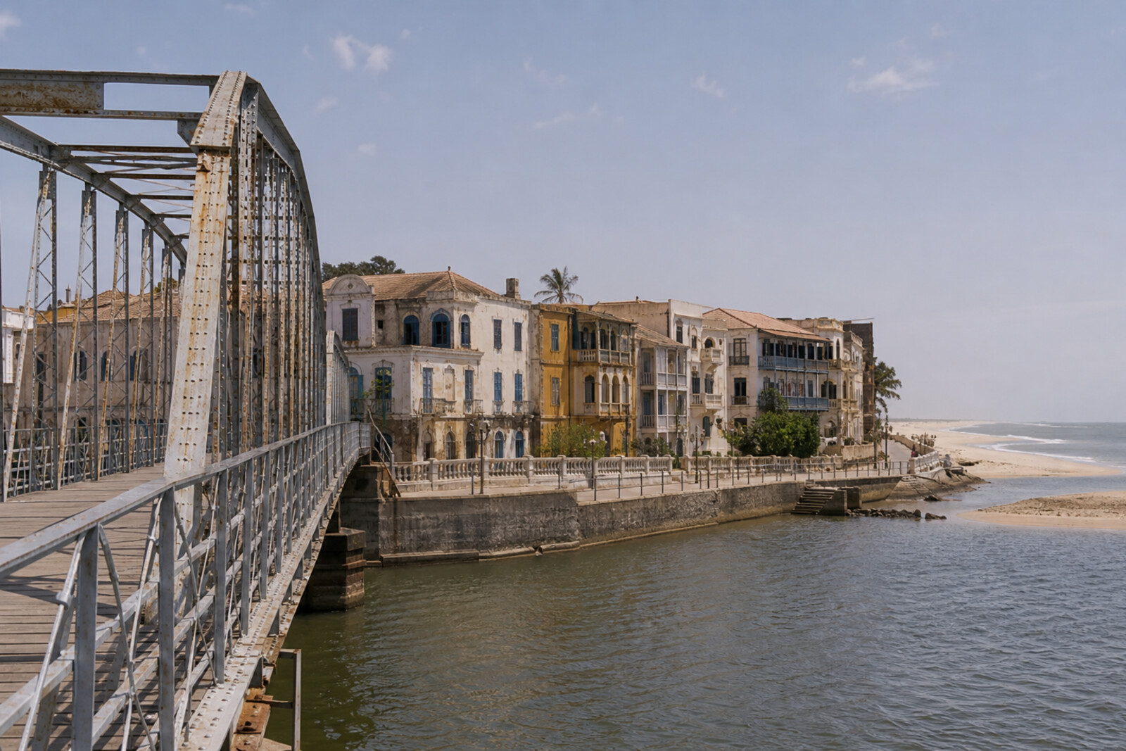
  4. Ndar’s Iron Threshold: story on the “Saint-Louis Island: Bridges, Squares, and Waterfronts” route

    Here you will find out why the famous crossing was assigned someone else’s engineering biography.

  5. Palace, Fort, and Two Rak'ahs: story on the “Saint-Louis Island: Bridges, Squares, and Waterfronts” route

    This stop makes it possible to compare colonial protocol with a prayer preserved by religious tradition.

  6. Quai Roume: story on the “Saint-Louis Island: Bridges, Squares, and Waterfronts” route

    This stop will connect the layout of the warehouse district with money, roads, and changing trade routes.

  7. Square of Two Names: story on the “Saint-Louis Island: Bridges, Squares, and Waterfronts” route

    Here you will see how an official parade ground became a place for daily gatherings and festive processions.

  8. The South Quay That Changed Its Line of Work: story on the “Saint-Louis Island: Bridges, Squares, and Waterfronts” route

    This stop explains how an unsuccessful trading shore came to be associated with scholarships and assistance for blind people.

The map is temporarily unavailable. Every place remains available in the list.
8 places on the mapOpenFreeMap · © OpenStreetMap contributors

Want every route in the city?

Thanks — your interest is noted.