City map

Saint-Louis attractions on the map

Start with 8 highlights or open the complete catalog of 27 curated places.

Highlights include A Cathedral Above Salt Water, Archive at the Edge of the Island, Crossing to shifting ground, Ndar’s Iron Threshold, Palace, Fort, and Two Rak'ahs, Quai Roume.

Routes

Would you rather follow a ready-made walk?

We have connected important places into ready-made walks with a clear order, stories and practical details.

See walking routes
City map

Map and list of attractions

Start with 8 highlights, or reveal all 27 curated places.

27
The map is temporarily unavailable. Every place remains available in the list.
8 places on the mapOpenFreeMap · © OpenStreetMap contributors

Places to see

27 of 27
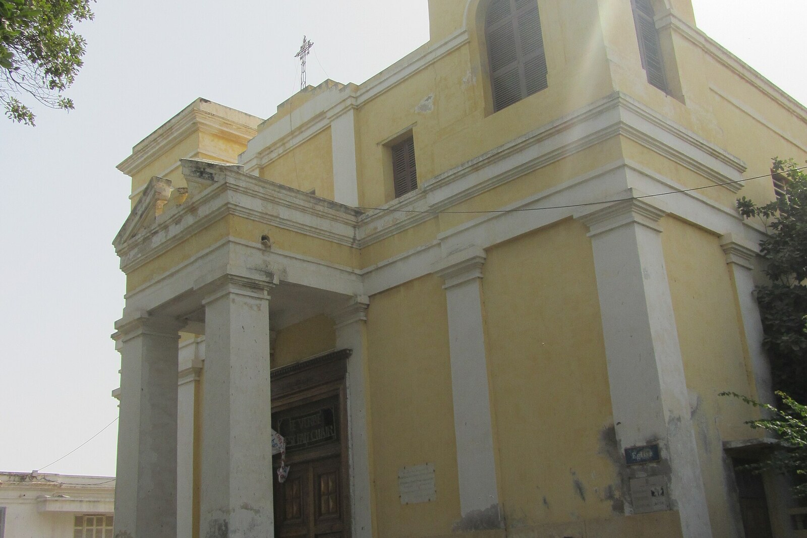
  1. A Cathedral Above Salt Water: story on the “Saint-Louis Island: Bridges, Squares, and Waterfronts” route

    Here, the history of construction brings together parishioners’ donations, the labor of craftsmen, and the effects of salt-laden moisture.

  2. Archive at the Edge of the Island: story on the “Saint-Louis Island: Bridges, Squares, and Waterfronts” route

    Here you will learn how staff turned unsorted negatives into a city photo archive.

  3. Crossing to shifting ground: story on the “Saint-Louis Island: Bridges, Squares, and Waterfronts” route

    The finale will link the history of the crossing with the market, the fishing district, and the movement of the sandy shore.

  4. Ndar’s Iron Threshold: story on the “Saint-Louis Island: Bridges, Squares, and Waterfronts” route

    Here you will find out why the famous crossing was assigned someone else’s engineering biography.

  5. Palace, Fort, and Two Rak'ahs: story on the “Saint-Louis Island: Bridges, Squares, and Waterfronts” route

    This stop makes it possible to compare colonial protocol with a prayer preserved by religious tradition.

  6. Quai Roume: story on the “Saint-Louis Island: Bridges, Squares, and Waterfronts” route

    This stop will connect the layout of the warehouse district with money, roads, and changing trade routes.

  7. Square of Two Names: story on the “Saint-Louis Island: Bridges, Squares, and Waterfronts” route

    Here you will see how an official parade ground became a place for daily gatherings and festive processions.

  8. The South Quay That Changed Its Line of Work: story on the “Saint-Louis Island: Bridges, Squares, and Waterfronts” route

    This stop explains how an unsuccessful trading shore came to be associated with scholarships and assistance for blind people.