 Guide On Map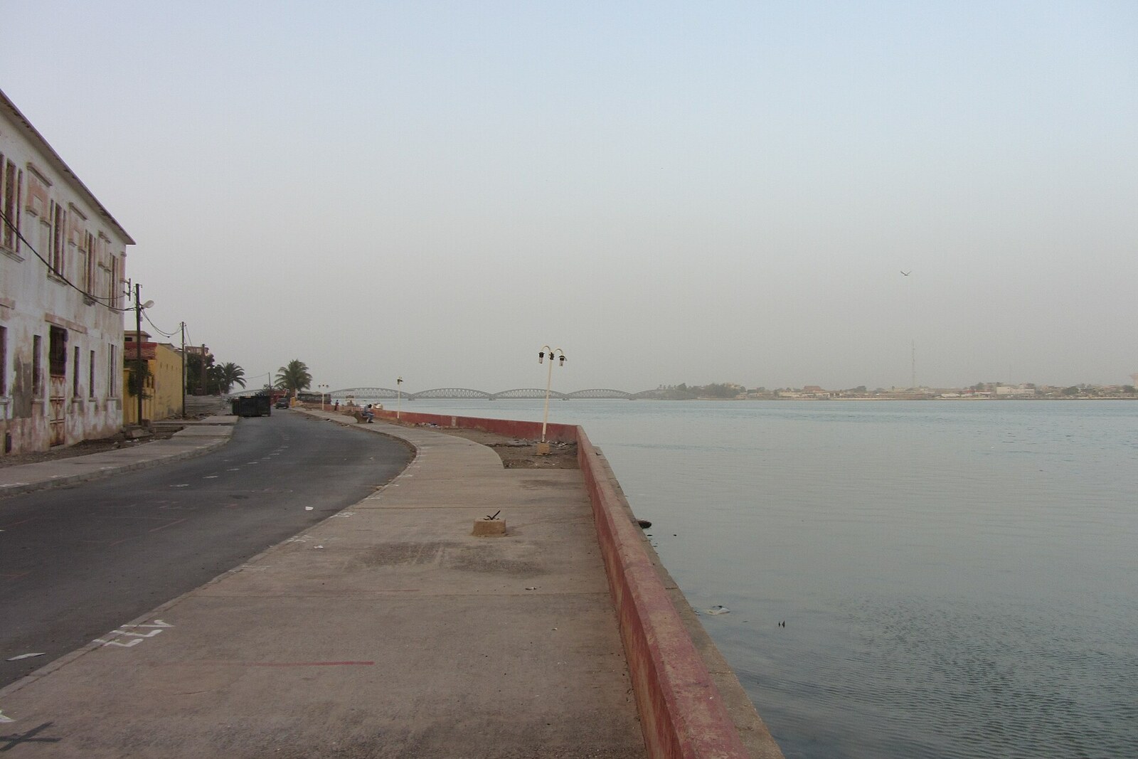
Look around first
What to notice
- Old warehouse hangars
- A broad strip of waterfront
- School and public buildings
The story of the place
The island's southern edge is laid out as a broad strip of land, about twenty meters wide, between the city and the river; warehouse hangars still stand along it. It was intended as a cargo waterfront, but shallow water at the edge kept large vessels from coming here, and carriers moved to other piers. The remaining premises and shoreline now serve schools, hotels, public institutions, and city regattas; a school gymnasium occupies one hangar.
Quai Henri Jay is a strip of land the city reclaimed from the river. The waterfront project was drawn up in eighteen sixty-one; builders drove piles into the riverbed, filled the space between them and the shore, and by eighteen seventy-five extended the quay as far as Rue de Repentigny. It was later widened. The result was a commercial waterfront about twenty meters wide, lined with warehouses.
The calculation proved unsuccessful. The water off the southern shore was not deep enough for large vessels, so carriers quickly preferred other piers. The warehouses remained, but the quay's former work came to an end. Today, schools, hotels, and public institutions stand along the water; city regattas are held here. One of the old hangars was turned into a gymnasium for students.
The waterfront is named after Henri Jay, a native of Saint-Louis, a major merchant and property owner. He earned money from trade and from renting out houses, and he had no children. Dying in Bordeaux in eighteen ninety-seven, Jay stipulated that three of his buildings could not be sold and that other people would receive the income from them. The city was to distribute the rent from one house four times a year among poor and blind people. Jay bequeathed the other two buildings to Catholic teaching communities—the Sisters of Saint Joseph of Cluny and the Brothers of Ploërmel.
The will nearly fell apart over a legal formality. In eighteen ninety-nine and nineteen hundred, it emerged that neither community had the status allowing it to accept real estate. The houses returned to the merchant's widow, Sophie Robert. She gained the right to keep them or sell them.
Robert chose to carry out her husband's plan by another route. In nineteen oh two, she transferred both houses to Saint-Louis and required the rental income to be directed toward Henri Jay school scholarships. The shares for girls and boys were to be equal. On March fifth, nineteen oh three, the city council accepted these terms, and from January first, nineteen oh four, the municipality began managing all three buildings.
The real estate continued to bring in money without the merchant or his widow. Reports for the period from twenty seventeen to twenty twenty record scholarships for about two hundred students, divided equally between girls and boys, as well as assistance for people with visual impairments. On the former trading quay, the name of the man who forbade the sale of his houses has remained, along with his widow's condition: half the student places for girls and half for boys.
Useful on site
open as a city waterfront promenade; sections may be restricted for repairs
Checked: June 24, 2026. Check the official source before visiting.Most houses are in use or privately owned; view them from the street and respect closed entrances.