 Guide On Map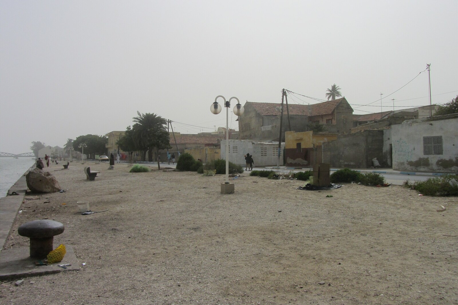
Look around first
What to notice
- Facades of former warehouses
- CFAO sign
- Line of the eastern waterfront
The story of the place
The first pier on this shore appeared as early as the first half of the nineteenth century, and it was later extended with a stone waterfront. Former trading houses stretch along the island's eastern edge, their facades facing the river. The depth by the shore allowed ships to come almost right up to it: cargo was received into warehouse spaces, sorted in courtyards, and taken out to be sold by the street. This district thus handled peanuts, rubber, and gum arabic from the interior, and, in the other direction, textiles and other European goods.
On Quai Roume, CFAO still sells cars today. From this sign, it is hard to guess that the firm's first African branch opened precisely in Saint-Louis in eighteen eighty-eight—and it did not start with cars.
This was the island's most convenient cargo waterfront: the depth allowed ships to come closer than at the other quays. Trading houses occupied entire blocks. Warehouses stood on the river side, goods were sorted in the inner courtyard, and sold on the street side. Peanuts, rubber, and gum arabic arrived from the interior; textiles and other European manufactures were sent back. The old buildings of CFAO, Morel & Prom, and Devès & Chaumet rose along the water precisely for this sequence: ship, warehouse, courtyard, shop.
Frédéric Bohn, a Marseille merchant and head of CFAO, took over the firm after a severe trade slump. Cheap Indian peanuts were crowding out Senegalese ones, the turnover of the previous company had fallen by half, and its founder withdrew from the business, taking the oil mills and part of the capital. Bohn abandoned in-house production and bet on a network of trading posts. He needed quays, railways, and cheap credit: without them, goods were held up in warehouses and money returned too slowly.
In eighteen ninety-eight, Bohn proposed giving French West Africa—an association of French colonies—a common budget, a bank, and the right to borrow money with France's guarantee. Four years later, Ernest Roume became governor-general, an official who sought unified administration for this association and a major program of port and railway works. Through his representatives, Bohn put Roume in touch with the French Ministry of Finance.
In nineteen oh three, a loan of sixty-five million francs at three percent was authorized for Roume's program. The list of expenditures included land reclamation in Saint-Louis and port works. A new loan followed—this time for one hundred million. In nineteen oh four, funds were allocated to widen the island's eastern waterfronts; construction of the present line of Quai Roume began in nineteen oh seven, and the expansion was completed in nineteen fourteen.
The quay is named after this Ernest Roume. The old pier had existed long before him: its first sections were laid out in the first half of the nineteenth century, and the stone waterfront was extended here under his predecessors. Roume's name is associated with the next stage—the expansion of the shore with borrowed money for large warehouses and a growing flow of goods.
Bohn got the infrastructure he needed. Between eighteen eighty-seven and nineteen twelve, the number of CFAO trading posts grew from forty-six to one hundred fifty-one, and turnover increased sevenfold. Later, cargo moved from the river to the railway and the port of Dakar, and the warehouses of Quai Roume stood empty or changed their purpose. CFAO remained: on the same waterfront, its employees now sell and service new Peugeot vehicles.
Useful on site
open as a city waterfront; individual sections may be restricted by works
Checked: June 24, 2026. Check the official source before visiting.View the layout from the shore; do not enter dilapidated platforms or closed areas.