 Guide On Map
Chinatown and Strathcona: Streets of Mutual Aid and Protest
From Millennium Gate along Pender Street and Maple Tree Square to MacLean Park and the rail lines
Guide On Map on your phone
Open the walk like a regular app
It takes about 10 seconds to install. No app store needed.
The whole path
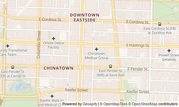
Route map
About the walk
You will enter Chinatown through its ceremonial gate, but the street soon drops the formal tone. The walk follows Pender Street to a building almost as thin as a shop window, the facades of mutual-aid societies, and a brick building where a rusted safe was once forced open. Then you will head up Carrall Street to Maple Tree Square, return to the museum and garden, cross Main Street, and make your way into residential Strathcona.
The surviving buildings will not be the only things that matter here. A plaque will mark the site of a family restaurant. By the rail lines, an ordinary tent will prove stronger than verbal promises. And near the gate, a question will emerge: why reroute traffic for the sake of a ceremonial arch?
The story moves through documents, business decisions, and small family details. No postcard version of “diversity.” By the end, you will be able to tell the difference in Chinatown and Strathcona between memory preserved in brick and memory that must be held onto through an address, an archive box, or an overpass above the tracks.
Why this order
Millennium Gate shows how the community marked the boundary of the neighbourhood. That is why Sam Kee Building comes straight after it: on the same Pender Street, the other side of city intervention appears—almost nothing was left of a private lot. Next, the hundred block of East Pender Street turns one entrepreneur's response into the collective work of mutual-aid societies. From there, Carrall Street leads north to Maple Tree Square: planning that had just narrowed one lot becomes the story of a street laid out through the first saloon. The route then returns along Carrall Street to Wing Sang Building. After a place from which only someone else's brick building remains, comes an archive of people whose letters never found their addressees. The neighbouring Chinese Cultural Centre of Greater Vancouver and Dr. Sun Yat-Sen Classical Chinese Garden show how public memory gained an institution of its own. From the garden, the route crosses Main Street and reaches Union Street: Chinatown's surviving buildings give way to the vanished neighbourhood of Hogan’s Alley. Continuing east completes that shift in Strathcona, by the park and rail lines where a civic campaign left behind a real overpass.
Those who want to understand Chinatown through the history of its residents Those interested in migration, mutual aid, and civic campaigns Those who enjoy reading a street through facades, plaques, and planning
Those expecting a walk made up only of Vancouver's headline postcard sights Those who need a route without returning through neighbourhoods already covered Those looking for a light story without discrimination and neighbourhood demolition
Before you go
Decide in advance whether you want to visit the Chinese Canadian Museum and Dr. Sun Yat-Sen Classical Chinese Garden: these are separate visits, so check access and entry conditions independently. Treat the societies on Pender Street and Sam Kee Building primarily as street-side stops—a sign outside does not mean you can enter. The final section runs alongside homes, roads, and railway infrastructure: stay on public sidewalks, do not enter vacant lots, and never cut across the tracks.
When to go
Set out in daylight if you can: it is easier to spot details on the upper floors and walk the final section with confidence. Allow a few unhurried hours for a walk with exterior viewing only. The museum and garden add considerably to the route, so if you visit them, set aside most of the day and do not leave the final stops too close to dusk.
Backup plan
If the museum is closed, look at the old front section of Wing Sang Building, the taller volume behind it, and the passage over the lane: the exterior architecture already explains how the business and family expanded. If the classical garden is inaccessible, focus on the cultural complex itself and the history of land saved from a freeway. If there are any restrictions at the railway crossing, end the walk at MacLean Park and view the overpass only from a permitted spot; the historical finale does not require going onto the tracks or around barriers.
Route conditions
Surface. Paved — 415 m (data covers 14% of the route)
Facilities. Toilets — 2; drinking water — 1
Elevation. Ascent — 21 m; descent — 8 m
OpenStreetMap extract of June 18, 2026: database data, not a check on the ground. Data © OpenStreetMap contributors, ODbL licence
Walk plan
Open in maps ↗- 1
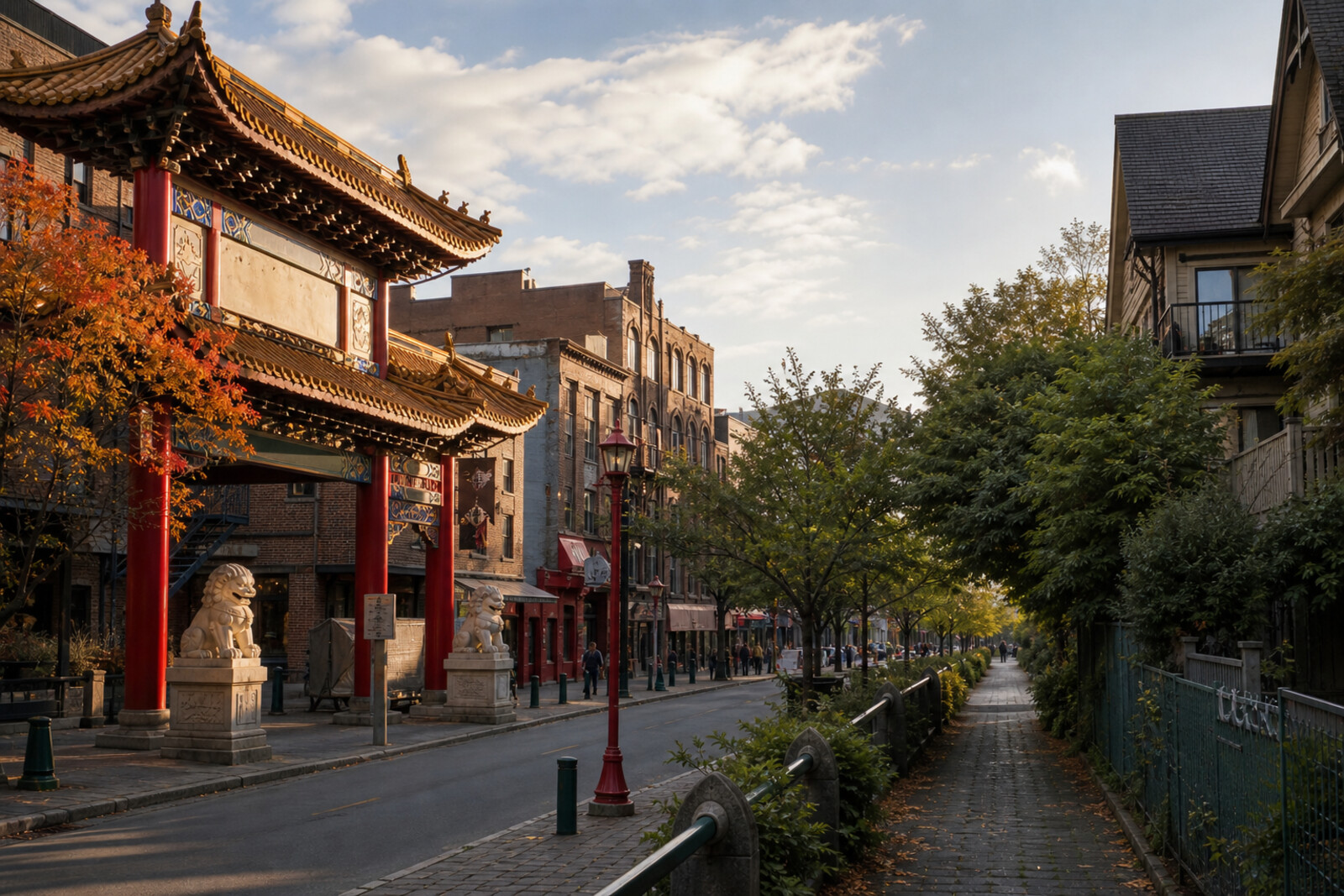
Millennium Gate
The gate will show the urban compromise the community needed to create a visible boundary for Chinatown. - 2
Sam Kee Building
The scrap of land left after the street was widened reveals an entrepreneurial response to expropriation. - 3
Societies on Pender Street
These facades show how community organizations stood in for family for newcomers and worked for family reunification. - 4
The Green Carrall Street and Maple Tree Square
Here, the street layout meets the history of the first saloon, which vanished along with the hotel and the old maple. - 5
Wing Sang Building and the Chinese Canadian Museum
The rescued postal archive will turn a trading house into testimony to families separated by an ocean. - 6
Chinese Cultural Centre of Greater Vancouver and Dr. Sun Yat-Sen Classical Chinese Garden
The garden will show how traditional construction had to be reconciled with local regulations and ongoing expenses. - 7
Hogan’s Alley and Union Street
A single surviving address will put a family restaurant and a vanished Black neighborhood back on the map. - 8
MacLean Park and the Militant Mothers of Raymur Overpass
The finale will link the redevelopment of Strathcona with the parents' campaign for a safe route to school.
Route features
Everything you need stays in the browser
Progress, saves and your trip plan are stored on this device.
Add Guide On Map to your home screen so the walk opens outside the browser.
How we handle sources, maps and corrections: our editorial standards