 Guide On Map
Port Chinatown: Telok Ayer and South Bridge Road
From Telok Ayer Green above the former basin via Ann Siang Hill to the temples of South Bridge Road
Guide On Map on your phone
Open the walk like a regular app
It takes about 10 seconds to install. No app store needed.
The whole path
Route map
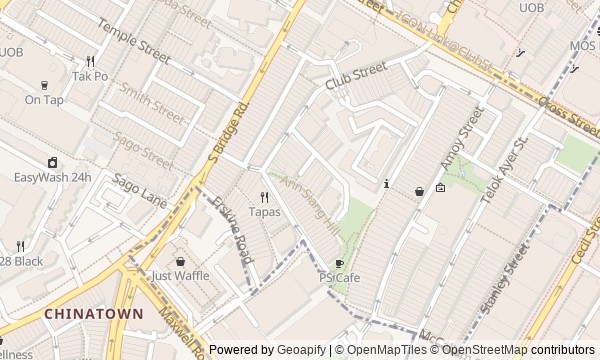
Water and toilet locations
About the walk
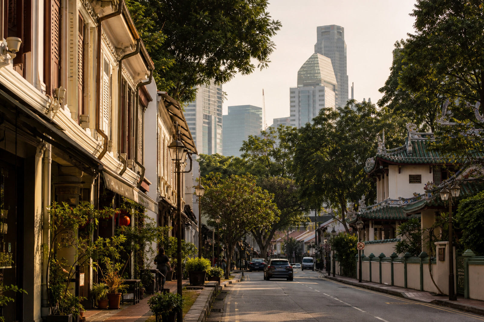
You will begin beside a small pond and a bronze sampan. They pose the first question: how did a fishing basin end up beneath the blocks of the business district? From here, you will follow Telok Ayer Street, where a Chinese temple and a Muslim shrine stand close together, then turn toward Amoy Street, Ann Siang Hill, and Club Street. At school gates, temple altars, and two clubhouses, other questions will emerge. Why is the smallest donation recorded on a temple wall? How did a birth certificate become a museum exhibit? Why did a clubhouse become a place of forced assembly? On South Bridge Road, the route will bring together a Tamil temple, a street once lined with debt-labor offices, and a modern Buddhist complex. The story will be calm and specific: it will separate documents from legend, and faith from evidence. By the end, you will be able to trace the former shoreline through today's streets and explain why communities built temples, a school, and clubs here.
Why this order
Telok Ayer Green first restores the vanished shore—without it, the neighboring community buildings would seem accidental. Thian Hock Keng shows how arrivals from China were received; a short return to Nagore Dargah places the seafaring memory of people from South India on the same stretch of shore. The turn onto Amoy Street shifts the conversation from the arrival of adults to the education of their children. From the school gates, the road rises to Ann Siang Hill and Club Street, where mutual aid gives way to the story of prosperous associations and coercion during the occupation. The descent to Sri Mariamman Temple returns to the theme of refuge for new arrivals, now on South Bridge Road. Just beyond the temple, Pagoda Street shows that trade in debt labor existed beside religious support. The modern Buddha Tooth Relic Temple and Museum ends the route with a question: how does a community create a shrine not by the shore, but in an established historic district?
Those who want to understand Chinatown through the lives of arrivals, not only its architecture Those interested in community schools, temples, and clubs as part of everyday history Those who appreciate a calm look at documents, legends, and disputed versions
Those expecting a walk only about temples, shophouses, and food Those who find it difficult to hear about debt labor and coercion during the occupation Those who prefer an overview of major sights without detailed human stories
Before you go
Choose comfortable non-slip shoes: the route includes slopes, steps, and smooth surfaces, especially unpleasant after rain. Your clothing should cover your shoulders and knees; be prepared to remove your shoes before entering the Hindu temple. Bring drinking water and sun protection. Before the walk, it is worth checking the visiting rules for religious buildings separately: services, ceremonies, and internal events may change access regardless of the route.
When to go
Go in daylight to see roofs, plaques, and facade details. Allow extra time for an unhurried walk: a temple visit may take longer, and in the heat it is sensible to climb Ann Siang Hill without rushing. If interiors matter to you, check current access with each institution in advance.
Backup plan
In heavy rain, focus on the lower part of the route and cross open stretches in short dashes, using the covered five-foot ways of the shophouses. You can skip the climb to the well without losing the main thread of the story. A closed temple or heritage center does not cancel the stop: at Thian Hock Keng, the roofs and gates still work; at Nagore Dargah, the towers and facade; at Sri Mariamman Temple, the street-facing tower. It is best to return for an interior separately after checking the rules of the place itself.
Route conditions
Surface. Paved — 1.5 km (data covers 71% of the route)
Facilities. Toilets — 6; drinking water — 2
Elevation. Ascent — 23 m; descent — 36 m
OpenStreetMap extract of June 18, 2026: database data, not a check on the ground. Data © OpenStreetMap contributors, ODbL licence
Walk plan
Open in maps ↗- 1
Telok Ayer Green
The vanished shoreline will explain why all the community buildings that follow ended up close together. - 2
Thian Hock Keng
This stop will show how a temple by the landing place became a support service for newcomers. - 3
Nagore Dargah
Here, maritime memory changes scale: from a distant saint to the document of one child. - 4
Amoy Street
The surviving gates will link a port street with the free education of migrants’ children. - 5
Ann Siang and Club Street
Two neighboring clubhouses show how community ties could become both a privilege and an instrument of coercion. - 6
Sri Mariamman Temple
This stop brings the route back to the search for housing, work, and a permanent sanctuary for the new community. - 7
Pagoda Street
The street reveals the other side of port recruitment—a person who stepped ashore already a debtor. - 8
Buddha Tooth Relic Temple and Museum
The finale will compare the old community shrines with a temple recently built around a disputed relic.
Route features
Everything you need stays in the browser
Progress, saves and your trip plan are stored on this device.
Add Guide On Map to your home screen so the walk opens outside the browser.
How we handle sources, maps and corrections: our editorial standards