 Guide On Map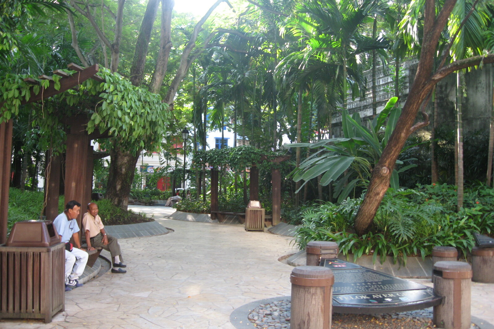
Look around first
What to notice
- Bronze sampan
- Pond with footbridge
- Figure of an Indian milk seller
- Figures with festive lanterns
The story of the place
A small pond and a bronze sampan mark a basin that no longer exists. The Malay words “telok” and “ayer” mean “bay” and “water.” When this name appeared, the sea reached Telok Ayer Street.
The British trading post in Singapore was not even a year old when fishermen from Malacca arrived here. They lived on their catch and expected to sell it to the rapidly growing settlement. The newcomers caught fish on hooks very close to shore. Local fishermen, who had previously speared fish, saw their earnings and adopted the new method.
Soon, a fisherman from Malacca, Haji Mata-Mata, set up the first kelong—a stationary sea trap—at the southern end of Telok Ayer. A long row of palm piles was driven into the shallow seabed so that the tide directed fish toward an enclosed area with a lift net. A hut stood on the platform: men and boys stayed there, watched the trap, and raised the net. It was a home, a workplace, and a means of earning a living above the same water.
According to a contemporary witness, one day the trap held so much tenggiri, a large mackerel, that the entire catch could neither be eaten nor sold fresh. The fish was discarded, while the roe was salted in barrels and sold to ships. Other fishermen began setting up their own kelongs, stationary sea traps. The basin fed the settlement even before its shore filled with warehouses, trading houses, and wharves.
By the end of the nineteenth century, merchants needed a convenient road between the new port in Tanjong Pagar and the business district by the river. Carriers had to go around the coastal hills. In eighteen seventy-nine, engineers began removing both obstacles at the same time: workers blasted and cut down Mount Wallich and Mount Palmer, and hauled the excavated earth into the basin. During the work, part of the shore was kept accessible so that fishermen could still reach their boats.
By eighteen eighty-six, the colonial administration was already leasing out the new plots to merchants. After the work was completed, the shore had moved back, about seventeen hectares of land had appeared, and Cecil Street and Robinson Road were laid across it. Fishermen lost the shallows by Telok Ayer Street; merchants gained a direct route to the port.
In two thousand one, the sculptor Lim Leong Seng placed bronze residents of the former neighborhood in the green: an Indian milk seller and Chinese people with festive lanterns. The sampan recalls freight carriers. The pond with its footbridge is a model of the former shore, not a remnant of the basin. The real waterline vanished beneath the streets between Telok Ayer Street and present-day Marina Bay.
Useful on site
Open around the clock, free entry. Checked 2026-06-28 via NParks.
Checked: June 28, 2026. Check the official source before visiting.The stop can be read entirely from outside; look around carefully because of traffic on the neighboring streets.