 Guide On Map
Presidio: From Military Post to the Golden Gate
From the Main Parade Ground through Crissy Field to the bridge's south plaza
Guide On Map on your phone
Open the walk like a regular app
It takes about 10 seconds to install. No app store needed.
The whole path
Route map
About the walk
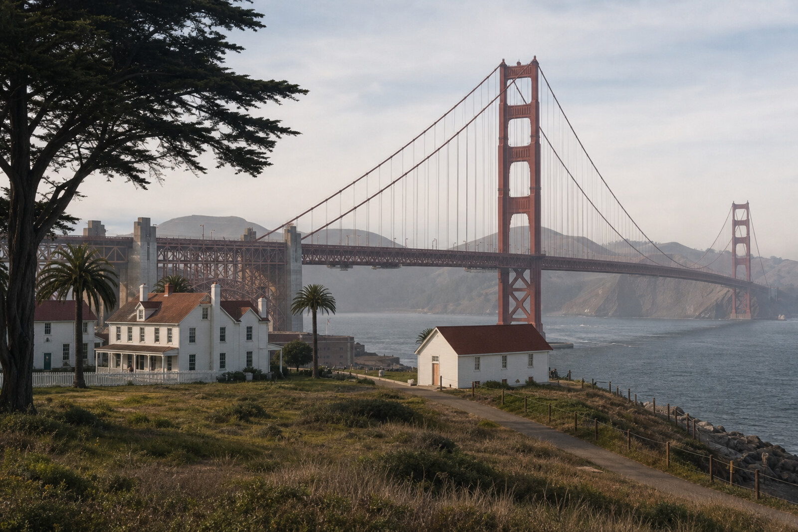
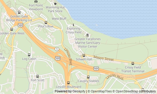
You will begin at the former guardhouse and cross the Main Parade Ground of the Presidio. Then you will walk above a hidden highway and descend to the waterfront, where a long lawn traces the outline of a military airfield. From there, you will follow the bay past a tidal marsh, a mine depot, a concrete wharf, and a brick fort beneath the bridge. The final climb leads to earthen batteries and the south plaza of the Golden Gate Bridge.
At the stops, questions will come up that an ordinary walk to the bridge never asks. Why did an architect spend ten years redesigning a road scheme for free? Why did one airman's name remain on the map while another's did not? Whose calculations disappeared behind a monument to the man with the drawings?
The story separates the polished official version from the decisions, labor, and accidents behind it. By the end, you will be able to pick out a guardhouse, airfield, mine depot, fort, and unfinished battery in the Presidio—even when they look like a park, a café, or viewing platforms.
Why this order
The Presidio Visitor Center first explains how the military post was transferred to the park, while the nearby barracks and Main Parade Ground reveal the army center that had to be adapted to a new life. From the edge of the parade ground, you will step straight into Presidio Tunnel Tops, a park that restores the route from the Main Post to the waterfront once cut off by the road. The descent leads to Crissy Field, where the transformation becomes visible at the scale of an airfield, beach, and returning tide. Farther on, the shoreline assembles the defense of the Golden Gate in sequence: first the mine depot by the Warming Hut, then the fort at the water's edge. The climb from the brick fort to Battery East shows why the artillery was moved higher and concealed behind earth. From the battery, it is a short walk to the Golden Gate Bridge Plaza, where the engineering story concludes with a civilian structure and the dispute over who designed it.
Those who want to understand the Presidio, not just see the bridge Fans of engineering and military history without ceremonial rhetoric Those interested in former service landscapes becoming public places
Those looking for a short outing to a viewing platform alone Those uninterested in forts, batteries, and military history Those who prefer a route without a long waterfront stretch and a climb to the bridge
Before you go
Dress in layers: at Crissy Field, by the wharf, and beneath the bridge, wind and fog can quickly change how the temperature feels. Check access to the Presidio Visitor Center, Warming Hut, Fort Point, and Golden Gate Bridge Welcome Center in advance if the interiors matter to you. The route still works without them, but the experience will be different. If you plan to walk onto the bridge, check the pedestrian path's status and current restrictions separately. Bring water, and do not put off food until the Warming Hut—the café's opening hours should not be your only plan.
When to go
About 3 hours with stops and the climb from Fort Point; visiting the fort interior or walking onto the bridge's pedestrian path will require additional time.
Backup plan
If the interiors are closed, follow the route as a walk through its outer layers: see the former guardhouse building, the barracks facades, the Warming Hut, and the bridge arch above Fort Point, then continue to Battery East. In strong wind or fog, you can finish after Crissy Field or the Warming Hut without going onto the most exposed stretches by the fort and bridge. If the climb from the water is inconvenient, stop at Fort Point: from there, both the fort and the structure of the southern approach are already easy to read.
Route conditions
Elevation. Ascent — 110 m; descent — 103 m
OpenStreetMap extract of June 18, 2026: database data, not a check on the ground. Data © OpenStreetMap contributors, ODbL licence
Walk plan
Open in maps ↗- 1
Presidio Visitor Center
Here you will learn who prepared the former base for civilian life and why the old guardhouse was retained for the park’s new entrance. - 2
Parade Lawn and Montgomery Street Barracks
This stop will show how a Black regiment became the Army's public representative at a world's fair. - 3
Presidio Tunnel Tops
Here, a private initiative turned the replacement of a dangerous elevated roadway into a restored route from the barracks to the water. - 4
Crissy Field
This stop will explain how the designers preserved the outline of the airfield while also bringing seawater back to part of the lowland. - 5
Warming Hut and Torpedo Wharf
Here, the everyday work of the mine depot that prepared barriers for the entrance to the bay will be revealed. - 6
Fort Point
This stop will show the engineering concession that allowed the bridge to be built over the fort rather than in its place. - 7
Battery East Viewing Platform
Here you will see what distinguished an earthen artillery position from a brick fort and why it was never completed. - 8
Golden Gate Bridge Welcome Center
The final stop will explain why official recognition of one of the bridge’s chief engineers came seventy years late.
Route features
Everything you need stays in the browser
Progress, saves and your trip plan are stored on this device.
Add Guide On Map to your home screen so the walk opens outside the browser.
How we handle sources, maps and corrections: our editorial standards