 Guide On Map
Little Africa and Port Rio
From Mauá Square through Valongo to Gamboa
Guide On Map on your phone
Open the walk like a regular app
It takes about 10 seconds to install. No app store needed.
The whole path
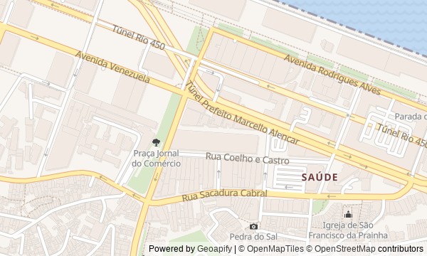
Route map
About the walk
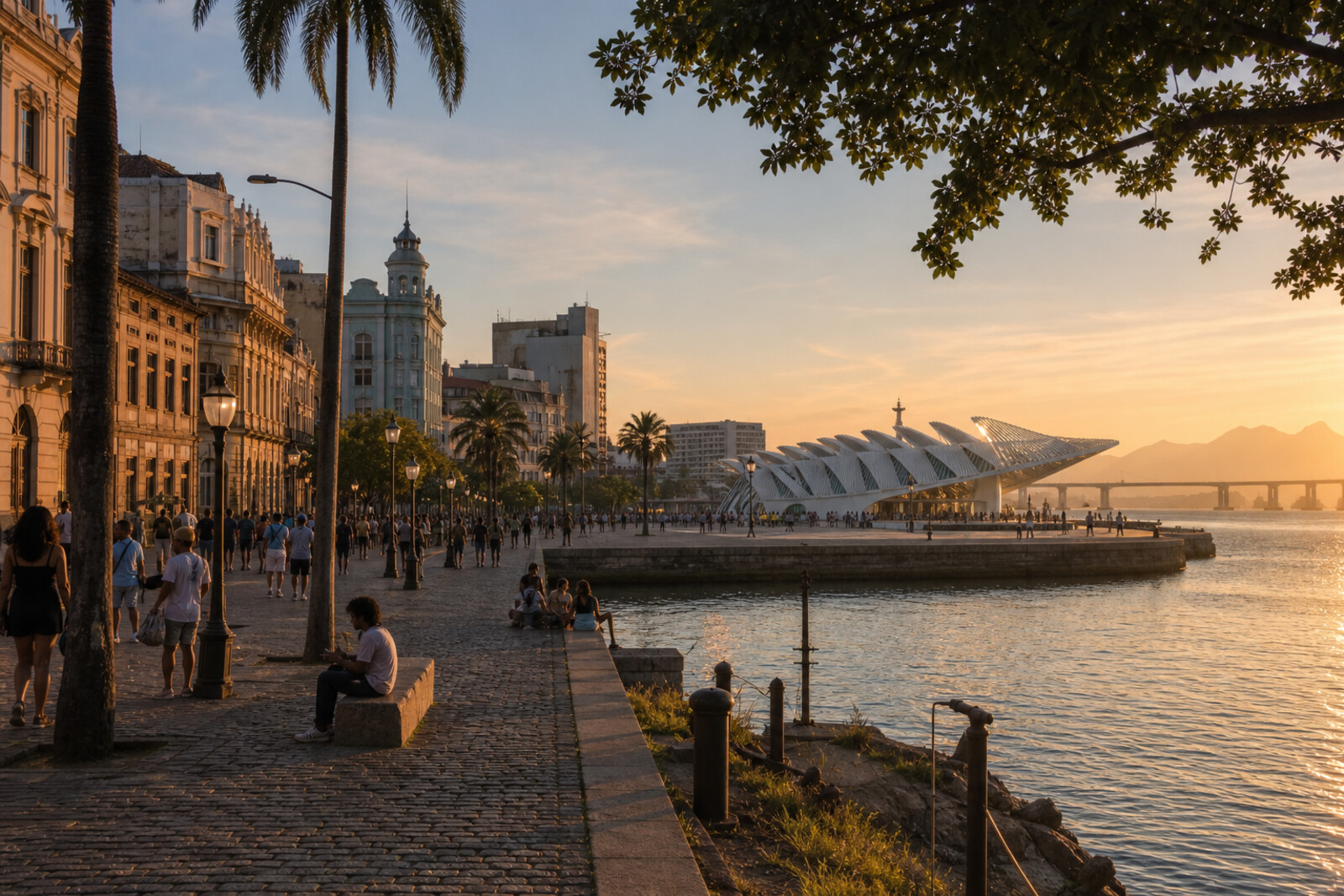
You will begin at Mauá Square, between the bay, the tram tracks, and the two museums of the new waterfront. From the pier, the route turns back toward the old port streets: through a small largo beneath the hill, past a rock cut with steps, an excavated wharf, and a garden above a retaining wall. It ends at a residential house in Gamboa.
This is Rio without the beach-postcard view. The city will shift beneath your feet: the former shoreline will lie far from the water, ceremonial paving will sit above different stonework, and a museum will rise on a pier that arrived too late for its original purpose. You will learn why a family had to stop a long-awaited renovation, though the answer will come only at the end.
The story unfolds through objects, decisions, and consequences, carefully separating what is established from later memory. After the walk, you will recognize Little Africa by its stone, its terrain, and the buried line of Valongo—even amid Port Rio’s renewed waterfront.
Why this order
Mauá Square sets out the old shoreline, while the walk onto the pier shows how a port platform was adapted for a museum of the future. Returning to the Rio Art Museum (MAR) brings two new institutions together: one reconsiders scientific evidence, the other gathers the city’s past. The route then leaves the renewed square for Rua Sacadura Cabral: the largo restores an old waterfront neighborhood, while nearby Pedra do Sal links its warehouses and shared houses to a carnival procession. The same former shoreline leads on to the excavated wharves; the garden above shows how the city hid the old port and moved its decoration. The final crossing into Gamboa takes an archaeological find from a city square beneath the floor of a family home.
Those interested in Rio beyond its beaches and viewpoints Those who enjoy history that can be checked against stone, buildings, and terrain Those ready for a quiet conversation about the slave trade, urban memory, and the origins of samba
Those looking only for an easy walk through postcard sights Those who want a route centered mainly on museum interiors Those who do not want to engage with the history of slavery and its physical traces
Before you go
Wear comfortable shoes: the route includes stone, stairs, slopes, and uneven surfaces. Bring water and protection from sun or rain, since much of the walk is outdoors. If you want to go inside the Museum of Tomorrow, Rio Art Museum (MAR), or the Pretos Novos Institute of Research and Memory, check visiting hours through their official channels in advance: an interior visit can easily exceed the route’s overall time. At memorial sites, speak quietly, stay outside barriers, and check local photography rules.
When to go
2–3 hours
Backup plan
If a museum is closed, do not skip the stop: the architecture of the Museum of Tomorrow and the Rio Art Museum (MAR) complex reads well from outside. If the garden is closed, view the retaining wall and upper terrace from the accessible part of the street, without trying to enter beyond the fence. In heavy rain, it makes sense to split the route: begin with Mauá Square and the accessible museum spaces, then leave the stretch from Largo da Prainha to Pretos Novos Cemetery for dry weather. A visit to the institute can be moved to another time, but Valongo Wharf should not be replaced with a photograph—the wharf’s position within the modern city is an important part of the experience.
Route conditions
Surface. Paved — 1.4 km (data covers 54% of the route)
Stairs. Flights: 2, 24 m in total
Access. Wheelchair — no; stroller — limited (stairs)
Facilities. Toilets — 1; drinking water — 1
Elevation. Ascent — 33 m; descent — 25 m
OpenStreetMap extract of June 18, 2026: database data, not a check on the ground. Data © OpenStreetMap contributors, ODbL licence
Walk plan
Open in maps ↗- 1
Mauá Square
It will trace the former shoreline and explain why the first railway journey began where there were no rails. - 2
Museum of Tomorrow
The pier makes it possible to trace how an underused port platform was turned into a museum without a ready-made answer about the future. - 3
Rio Art Museum (MAR)
A municipal collection, not envisioned in the museum's original plan, will appear here. - 4
Largo de São Francisco da Prainha
This stop will bring the vanished shoreline back to the neighborhood and show the cost of defending Rio de Janeiro in 1710. - 5
Pedra do Sal
Here port labor and courtyard processions come together in the prehistory of samba schools. - 6
Valongo Wharf
The excavated site reveals two versions of the shoreline, laid one above the other. - 7
Valongo Hanging Garden
The garden will explain where the decoration from the disappearing wharf was moved during the redevelopment of the port district. - 8
Pretos Novos Cemetery
The finale brings the port's larger history inside a house where an ordinary renovation was halted by a discovery beneath the floor.
Route features
Everything you need stays in the browser
Progress, saves and your trip plan are stored on this device.
Add Guide On Map to your home screen so the walk opens outside the browser.
How we handle sources, maps and corrections: our editorial standards