 Guide On Map
Croix-Rousse: canuts, traboules, and the descent to Place des Terreaux
From Mur des Canuts through the working slopes to Place des Terreaux
Guide On Map on your phone
Open the walk like a regular app
It takes about 10 seconds to install. No app store needed.
The whole path
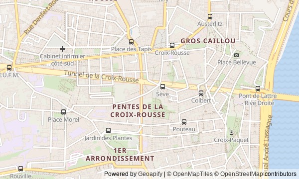
Route map
About the walk
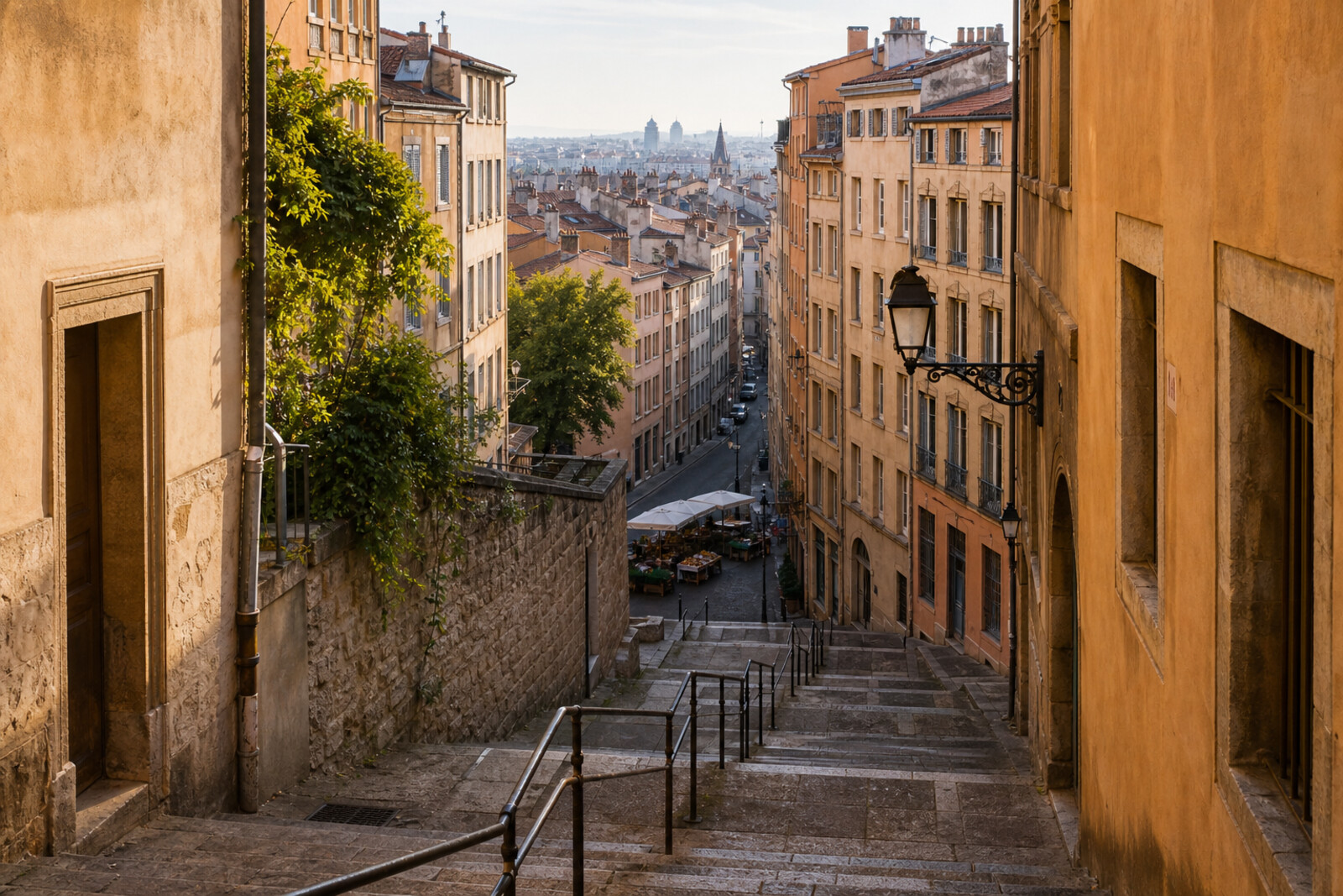
You will begin on the Croix-Rousse plateau, beside a vast painted house, then make your way down to Lyon City Hall through a neighborhood built around silk looms. First comes a broad boulevard and the square by the former city gates. Then the route narrows into stairways, courtyards, and traboules: residents used them to get home, while craftspeople carried cloth between their workshops and the lower city.
Along the way, you will meet a family growing older right on a facade, a boulder pulled from a tunnel, and a house where renovation leaves its residents with a simple question: who gets to stay after renewal? The story takes up such cases calmly and precisely, separating documents from urban tradition.
Below the silk neighborhood, a Roman arena and the square before Lyon City Hall come into view. By the end of the walk, you will be able to read Croix-Rousse through its high windows, through-passages, and plaques: a working neighborhood where every convenient stairway carried a question of earnings, housing, or power.
Why this order
Mur des Canuts first reveals how the neighborhood worked through the facade of a workshop home and its residents; then Place de la Croix-Rousse explains why the earnings made at such looms brought people into the streets. From the square, the route follows the line of demolished fortifications to Gros Caillou: the boulder found during transport construction shows how the plateau was connected to the lower city. From there, the road itself drops onto the slope, into Cour des Voraces, where the workings of housing matter more than the city view. Passage Thiaffait continues the theme through workspaces and the cloth trade. From there, the climb to the house on Montée de la Grande-Côte leads to the canuts’ attempt to establish their own shop on the main road between workshops and merchants. Then the descent along the same street reaches the amphitheatre and recalls that the slope served as a place of public power long before silk. Place des Terreaux ends the route before Lyon City Hall, where people in different eras came not to work, but to demand and to judge.
Those who want to understand Lyon through labor and the workings of a neighborhood Lovers of urban history with human consequences Those interested in traboules, stairways, and sharp changes in terrain
Those looking for a walk without climbs and long stairways Those who want a route only through grand squares Travelers with a stroller in narrow, stepped passages
Before you go
Wear shoes with reliable grip: the route is about 3.8 km long and mostly downhill, but includes stone steps, steep stretches, and courtyards with uneven surfaces. Traboules and stair galleries remain part of residential buildings, so pass through quietly, do not linger by apartment doors, and do not try to open locked entrances. Diffused light works well for the mural, while the open stretches of the slope call for sun or rain protection. No separate tickets are needed for the narration; visits to workshops, exhibition spaces, and other premises inside the passage need to be planned independently.
When to go
Allow 3–3.5 hours for the whole route: the distance is about 3.8 km, but stairways, time spent looking at the mural, and pauses in the passages slow the pace. If you listen without long stops and view closed courtyards only from the street, the walk will be shorter.
Backup plan
If the traboules or Cour des Voraces are closed, do not look for a detour through neighboring entrances: study the entrance arches and the layout of the houses from the public street, then continue down through the open passages. In rain, skip slippery interior stairways and spend more time at sites accessible from outside: Mur des Canuts, the Joseph-Marie Jacquard monument, Gros Caillou, the amphitheatre, and Place des Terreaux. If you get tired, shorten your time in the intermediate courtyards, but keep the sequence of stops—the transition from the working plateau to the ancient and administrative center is the backbone of the story.
Route conditions
Surface. Paved — 52 m (data covers 2% of the route)
Facilities. Toilets — 3; drinking water — 5
Elevation. Ascent — 10 m; descent — 81 m
OpenStreetMap extract of June 18, 2026: database data, not a check on the ground. Data © OpenStreetMap contributors, ODbL licence
Walk plan
Open in maps ↗- 1
Mur des Canuts
Here the district first appears through people whom the artists returned to the façade at different ages. - 2
Place de la Croix-Rousse
Here you will see why the workings of the silk trade once drove workshop owners out of their apartments and into the streets. - 3
Gros Caillou
This stop links new urban transport with a discovery the builders decided to preserve. - 4
Cour des Voraces
Here, the renovation of a residential building becomes a dispute over whether residents should make way for renewal. - 5
Passage Thiaffait
The passage will let you compare the first silk workers with today’s fabric artisans. - 6
Montée de la Grande-Côte
A plaque marks the place where the Canuts tried to manage everyday trade themselves. - 7
Amphitheatre of the Three Gauls
The arena takes the route from the working-class nineteenth century to the public authority of Roman Lugdunum. - 8
Place des Terreaux
The finale will show how the space in front of Lyon City Hall became a site of direct dispute with the city authorities.
Route features
Everything you need stays in the browser
Progress, saves and your trip plan are stored on this device.
Add Guide On Map to your home screen so the walk opens outside the browser.
How we handle sources, maps and corrections: our editorial standards