 Guide On Map
Portside Hobart (formerly Hobart Town) and Battery Point
From Sullivans Cove through Salamanca Place to Princes Park
Guide On Map on your phone
Open the walk like a regular app
It takes about 10 seconds to install. No app store needed.
The whole path
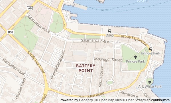
Route map
About the walk
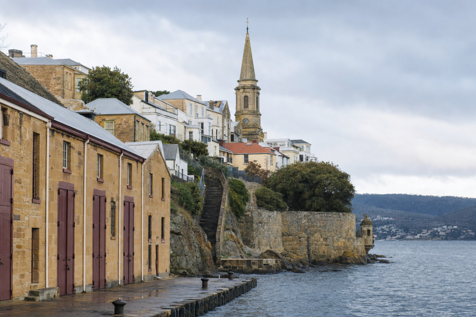
You will begin by the water, where an island lies beneath the street and the shoreline is the result of long years spent filling in the cove. From the wharves, you will pass Parliament House (formerly the Customs House) on the way to Salamanca's stone warehouses, then climb a narrow staircase into Battery Point. At the top, another side of the port comes into view: merchants' houses, a ring of workers' cottages, and a church tower designed to catch the eye from the river.
The story moves through private decisions and sudden losses. Why would six councilors leave the chamber themselves? How did a portrait of a ship end up in a house sold for debt? And why did artillerymen have to fear their own guns? Each answer brings the story back to a door, a staircase, a lawn, or the edge of the shore.
After the walk, you will see Battery Point as an extension of Hobart (formerly Hobart Town)'s wharves: warehouses below, and above them the homes of people who made money there, lost fortunes there, and made their way toward the water.
Why this order
The route begins at the present edge of the port, because without the reclaimed shore it is impossible to understand either Parliament House (formerly the Customs House) or the warehouses. Parliament House comes next: this was where maritime cargo became duties, and port spending became a political dispute. From there, the facades of Salamanca Place continue the same economic thread at the level of warehouses and the Peacock Factory. Kelly's Steps follows straight after: the staircase physically links the wharf to residential Battery Point. Above it, Narryna shows that a merchant's house and the warehouses below belonged to one strip of land. Arthur Circus broadens one person's ruin into a story of debt sales and land speculation, while the ring of cottages returns the conversation to the families of waterfront workers. St George's Anglican Church then offers a landmark for the same port district: a tower for sailors. From there, the road descends to Princes Park, where the route meets the water again: the military dismantled the batteries, and the city gained a place for recreation.
Those who want to understand how the port shaped Battery Point Those who enjoy compact walks with climbs and changing terrain Those who prefer human predicaments to a list of architectural styles
Those looking for a countryside walk in nature Those who find stairs and hilly streets difficult Those who want to see only festive Salamanca without discussing the colony, debt, and dispossession
Before you go
Wear shoes with reliable grip: the route climbs from the water, and Kelly's Steps is narrow and can be slippery after rain. Check with the museum before setting out if you plan to enter Narryna; the stop still works from the facade and the story without going inside. St George's Anglican Church remains an active church, so entry depends on whether it is open for a service or event, and it is important not to disturb worshippers inside. The powder magazine should not usually be considered freely accessible within the park; individual visits require a program announced in advance. Wind protection will come in handy at the open waterside stops and on the point.
When to go
Allow about 2 hours 45 minutes if you want to visit Narryna and make unhurried stops. If you view every building only from outside, the walk takes about 2 hours 10 minutes.
Backup plan
If Narryna is closed, view the house from the street and continue: the story of the captain, the servants, and later residents does not require entry. If the staircase does not suit you, replace it with a longer street climb, using the route map; the incline remains. View a closed church by its exterior form and tower, and treat the powder magazine as a hidden layer of the park. In heavy rain, you can end the walk with exterior views of St George's Anglican Church and the artillery store, without lingering on the exposed point.
Route conditions
Surface. Paved — 2.9 km (data covers 88% of the route)
Stairs. Flights: 1, 15 m in total
Access. Wheelchair — no; stroller — limited (stairs)
Facilities. Toilets — 6; drinking water — 5
Elevation. Ascent — 49 m; descent — 37 m
OpenStreetMap extract of July 3, 2026: database data, not a check on the ground. Data © OpenStreetMap contributors, ODbL licence
Walk plan
Open in maps ↗- 1
nipaluna / Hobart (formerly Hobart Town) Waterfront
This stop will explain where the land beneath the port streets and warehouses came from. - 2
Parliament House (formerly the Customs House)
This stop links the collection of port duties to the question of who was supposed to pay for the convict system. - 3
Salamanca Place
Here you will see how income from shops and cafes helped preserve spaces for art. - 4
Kelly's Steps
The staircase takes the route from the warehouses to a residential neighborhood and preserves the memory of the ruined owner of this passage. - 5
Narryna
Here, success in the harbor will end with creditors selling the family home and property. - 6
Arthur Circus
The circle of cottages will show who settled on land advertised to well-to-do buyers. - 7
St George's Anglican Church
The tower will link the residential neighborhood to the river: it was built as a recognizable marker for sailors. - 8
Princes Park and the Artillery Storehouse
The final stop will explain why the port’s defenses were removed from the headland and to whom the land that was freed up was transferred.
Route features
Everything you need stays in the browser
Progress, saves and your trip plan are stored on this device.
Add Guide On Map to your home screen so the walk opens outside the browser.
How we handle sources, maps and corrections: our editorial standards