 Guide On Map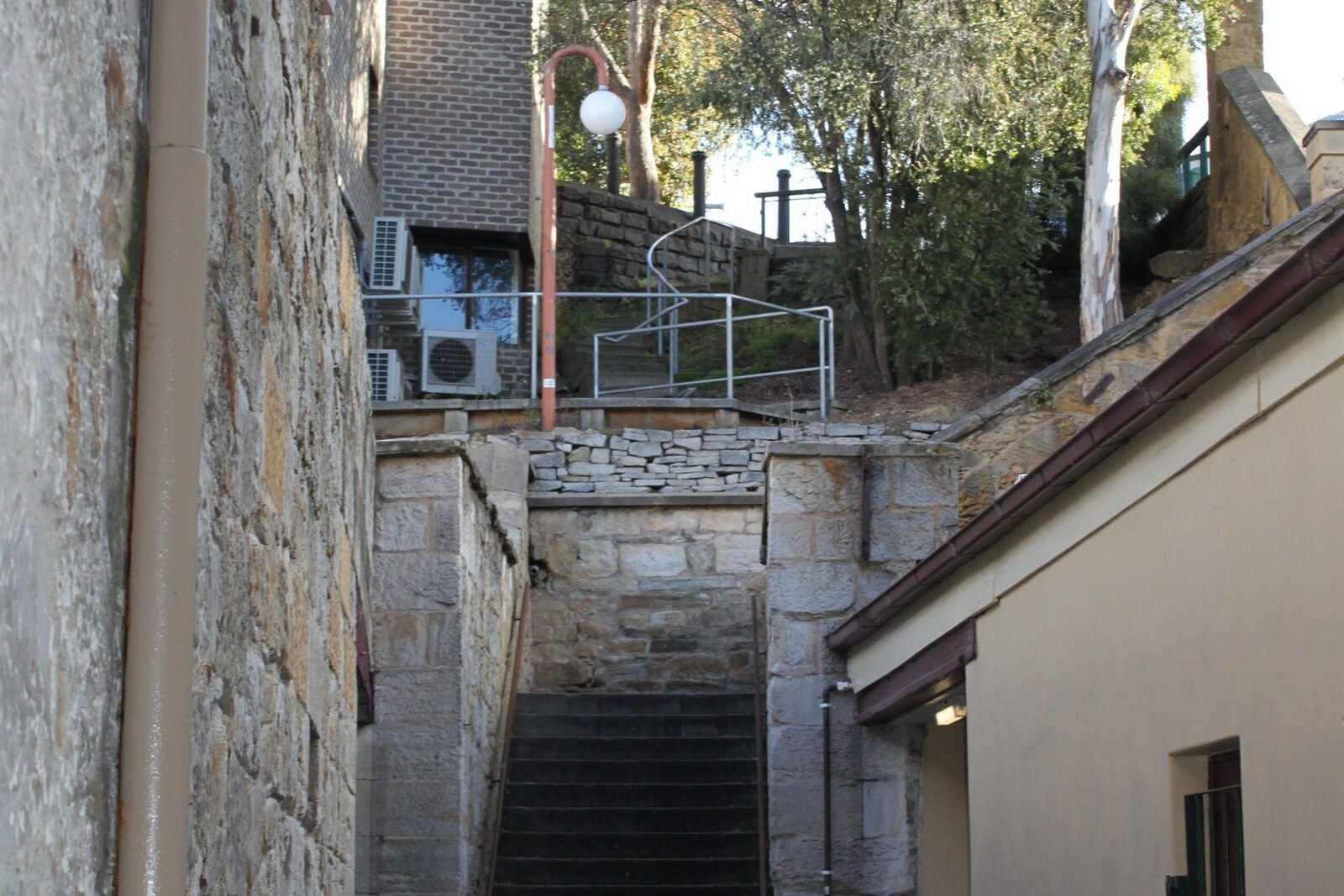
Look around first
What to notice
- Stone staircase
- Cut in the sandstone escarpment
- Kelly's Lane
- Kelly Street
The story of the place
Kelly's Steps descend through a narrow cut in a sandstone escarpment. At the bottom, they continue as Kelly's Lane, leading to Salamanca Place; Kelly Street begins at the top. All three names were left here by one man—James Kelly.
Kelly made his living at sea. At first, he served as a pilot and harbor master: he met vessels at the mouth of the River Derwent and guided them to the wharves. He then left the post and invested in whaling. His ships sailed out after whales, and returned to New Wharf—what the waterfront strip by what is now Salamanca Place was called then—with blubber to be rendered into oil. The crews, the vessels, and the owner's money depended on the outcome of every voyage.
By the late eighteen thirties, Kelly owned land at Battery Point and a business at New Wharf. Between his house above and his business below stood a steep stone cliff. In eighteen thirty-nine, Kelly made a direct passage: he cut a staircase into the escarpment and laid out a narrow lane leading to the wharf. It shortened his own route, but Battery Point residents, sailors, and harbor employees began using this descent after him.
Kelly built the staircase at the height of his prosperity. A few years later, the colonial economy fell into a severe crisis. Creditors took his real estate, and he could no longer return to whaling as a vessel owner. The man who had connected his home to his own waterfront business took a job at the harbor again—this time as an employee responsible for the wharf.
His land and business passed to other owners. The connection he laid out remained: at the bottom, Kelly's Lane still leads to the former New Wharf, while at the top the steps run into Kelly Street. The surname of the ruined whaler remained along the entire route between them.
Useful on site
Open public staircase; access is continuous, but the steps are steep and uneven.
Checked: date not specified. Check the official source before visiting.Climb slowly, keep to one side, and let people coming the other way pass; in wet weather, the stone requires caution.