 Guide On Map
Above Cusco: Sacsayhuamán, Suchuna, and Q'enqo
From San Cristóbal through Sacsayhuamán to Q'enqo
Guide On Map on your phone
Open the walk like a regular app
It takes about 10 seconds to install. No app store needed.
The whole path
Route map
About the walk
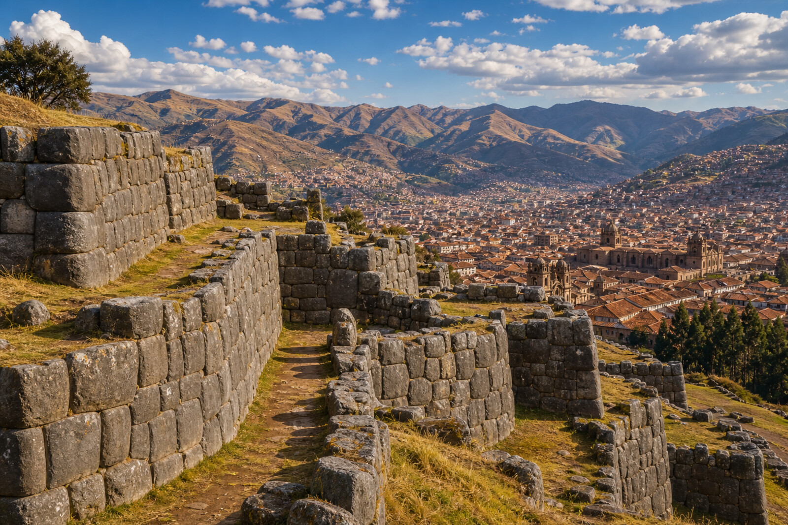
You will begin above the roofs of Cusco, beside a parish church and the wall of a princely residence. Then the road will climb the steep slope toward the zigzagging tiers of Sacsayhuamán. Beyond them come the round foundations of a vanished tower, the smooth chutes of Suchuna, and a white figure above the valley. The final stretch leads to the rock of Q'enqo and the channel that gave the place its new name.
Along the way, you will meet a palace that was turned into a fortress in time, and a stone said to have grown tired. At the former tower, one question remains: where exactly did the final defense end? The story will separate eyewitness accounts from later legends and leave what is disputed honestly unresolved.
By the end, you will understand why Inca masonry, a white Christ, and a shrine whose former name has vanished ended up side by side above Cusco.
Why this order
San Cristóbal and neighboring Colcampata come as a pair: the church rose beside a princely home, while the surviving wall shows which estate was defended with charters and recovered through the courts. From Colcampata, the road climbs the same slope along which stone was carried to the upper complex. After the story of its construction, the zigzagging walls of Sacsayhuamán become the scene of an assault, and the circles of Muyucmarca on the upper terrace bring its final scene closer. Suchuna continues the route from fitted masonry to shaped natural relief and hidden passages. Then Cristo Blanco turns your gaze from the ancient complex back toward modern Cusco. From the statue, the road leads farther from the city to Q'enqo, where the route ends not with defense or construction, but with the fate of an Inca shrine and a lost name.
Those who want to connect Inca and colonial Cusco in one walk Those who value checked evidence over polished legends Those who enjoy archaeology, climbs, and broad views
Those expecting to walk only on flat city streets Those looking for a short overview of the historic center Those who do not want to hear about conquest and siege
Before you go
Budget your energy for a steady climb, and do not try to keep your usual city pace: slow breathing is more useful here than rushing. Bring water, protection from the bright sun, and shoes that grip confidently on stone; an extra layer will help on the open plateau. Before setting out, check current access rules for the archaeological sites and any temporary restrictions. Do not climb on the masonry, pull out stones, or cross barriers: many surfaces already suffer from constant foot traffic, while the supposed underground passages remain a subject of research, not an accessible continuation of the walk.
When to go
Allow time not only for walking but also for pauses after the climbs: walls and tower foundations do not reveal much at a run. Bright daylight makes the masonry and passages easier to study, while low sun brings out the relief of Q'enqo more vividly, though it is not worth staying in the more difficult stone sections without enough visibility.
Backup plan
If elevation, weather, or fatigue makes the full route impractical, keep its meaning with the shorter link of San Cristóbal — Colcampata — the zigzagging walls: it already contains the transition from the lived-in city to Inca architecture and the story of its destruction. Do not linger on the open plateau if the weather worsens, and skip Suchuna's slippery chutes and Q'enqo's narrow passages if the stone becomes unsafe or the light is insufficient. Cristo Blanco can be saved for a separate panoramic stop, and Q'enqo for another day, when you can examine the details calmly without rushing or cutting through closed areas.
Route conditions
Surface. Paved — 1.7 km; unpaved — 1.3 km (data covers 63% of the route)
Stairs. Flights: 2, 90 m in total
Access. Wheelchair — no; stroller — limited (stairs)
Facilities. Toilets — 4
Elevation. Ascent — 219 m; descent — 74 m
OpenStreetMap extract of June 25, 2026: database data, not a check on the ground. Data © OpenStreetMap contributors, ODbL licence
Walk plan
Open in maps ↗- 1
San Cristóbal
Here it will become clear how an Inca family secured its future in documents and a church parish. - 2
Colcampata
The surviving terrace lets you trace the fate of a palace that was taken away, armed, and returned to its owner. - 3
The Sacsayhuamán Slope
The climb will convey the scale of the work done by people who moved stone and depended on collective effort. - 4
Sacsayhuamán
The surviving tiers reveal the terrain of the battle after which the siege of the city turned into a blockade. - 5
Muyucmarca
The low masonry will outline the vanished structure that tradition links to the end of the assault. - 6
Suchuna
This stop distinguishes the natural stone grooves from the closed limestone labyrinth nearby. - 7
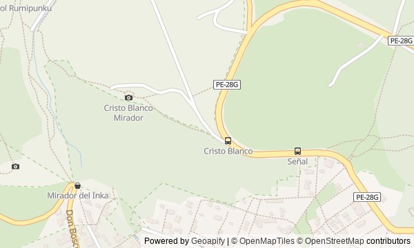
Cristo Blanco: gratitude above the city
A modern monument adds to the ancient slope the story of merchants who thanked the city that welcomed them. - 8
Q'enqo: a sanctuary without its lost name
The final stop will show that archaeology confirms the site's ritual purpose but does not restore its lost name.
Route features
Everything you need stays in the browser
Progress, saves and your trip plan are stored on this device.
Add Guide On Map to your home screen so the walk opens outside the browser.
How we handle sources, maps and corrections: our editorial standards