 Guide On Map
Bridges and Architecture of Copenhagen Harbour
From The Black Diamond to Havneholmen
Guide On Map on your phone
Open the walk like a regular app
It takes about 10 seconds to install. No app store needed.
The whole path
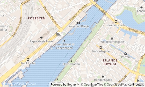
Route map
About the walk
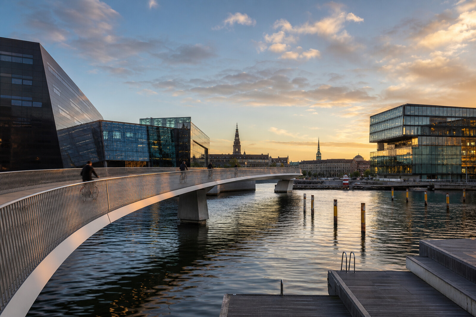
You will walk along Copenhagen Harbour, from the black granite of the Royal Danish Library through new crossings to the white homes of Havneholmen. At first the route follows the formal city shore, then crosses the water and continues past a harbour bath, bicycle bridges, and former industrial sites.
Here, architecture will be explained not through facades alone, but through problems, mistakes, and solutions. Why will a rare map disappear beneath a loose sweater? Why will a road be sent through a green building? How will a bridge open when it still has no permanent approach? And what will make its designers choose the boldest curve?
The story moves from a small human detail to the workings of an entire neighborhood: from a found banknote and preserved letters to a water-quality sensor and a staircase that got in the way of thousands of cyclists.
After the walk, you will read this harbour through its seams: where Copenhagen kept the old line, where it erased an earlier place, and where new development gave away its history in a single name.
Why this order
The Black Diamond and Søren Kierkegaards Plads form a single library ensemble: first you will get to know the open building and its closed stacks, then step into an archival story that continued after the people involved had died. The route then follows the old shore to BLOX, where an entire industrial site was transformed instead of simply adding an extension to an existing institution. Just beyond it, Lille Langebro returns the route to an old crossing line and carries it to the opposite shore. There, the harbour bath shows why the cleaned-up harbour needed constant monitoring. Continuing along the same water brings you to Bryggebroen: it connects the swimming shore with the new Havneholmen, while its change in elevation explains the story of a temporary approach. Nearby, Cykelslangen continues the line of the bridge where the cycling route once ended at a staircase. The final neighborhood shows what kind of new urban fabric these links were built for, and what stood there before.
Anyone who wants to understand contemporary architecture through urban decisions Lovers of waterfronts, bridges, and transformed industrial neighborhoods Anyone interested in the human mistakes and compromises behind smooth facades
Anyone looking for a walk only through palaces and old streets Anyone more interested in interior tours than the urban environment Anyone who dislikes long stretches along open water
Before you go
Dress for the wind: on bridges and open decks, it is noticeably stronger than among the buildings. Comfortable non-slip shoes will help after rain and near the harbour bath. Treat the interiors of the Royal Danish Library and the Danish Architecture Center exhibitions as separate visits—check their opening hours and entry conditions in advance if you want to add them to the walk. Bring swimming gear only after checking local notices on water quality and access to the pools; even when closed, the harbour bath remains a worthwhile stop to see. On bicycle bridges, keep to the pedestrian section, do not stand in cyclists' path, and cross the flow only where you have a clear view.
When to go
2–3 hours
Backup plan
If the weather turns sharply, take the compact first section from The Black Diamond to BLOX and pause indoors where available, after checking current opening hours; it is better to continue over the open bridges once the wind or rain has eased. An opening of Lille Langebro or Bryggebroen usually means waiting, not finding a detour. If the harbour bath is closed, do not go down to the water: view the pontoons and former industrial buildings from the waterfront. If the stairs, ramps, or dense bicycle traffic are uncomfortable, Cykelslangen can be viewed from below without climbing onto the bicycle overpass. The route is linear, so if you finish early, it makes more sense to stop at your chosen point than to hurry across the remaining shores.
Route conditions
Surface. Paved — 2.1 km (data covers 65% of the route)
Facilities. Toilets — 6; drinking water — 3
Elevation. Ascent — 11 m; descent — 7 m
OpenStreetMap extract of June 18, 2026: database data, not a check on the ground. Data © OpenStreetMap contributors, ODbL licence
Walk plan
Open in maps ↗- 1
The Black Diamond
This is where the route begins with a contradiction between an open public building and a collection that must be protected from visitors. - 2
Søren Kierkegaards Plads
This stop will connect the library courtyard with the papers of two people whose shared story ended up in the same archive. - 3
BLOX and the Danish Architecture Center
Here you will see how one project brought together a road, exhibitions, workplaces, and housing on a vacant site. - 4
Lille Langebro Bridge
On this bridge, the modern route follows the line along which the garrison once crossed the harbour. - 5
Islands Brygge Harbour Bath
The harbour bath shows why the residents' return to the water depended on an almost unnoticed pollution-warning system. - 6
Bryggebroen Bridge
This stop explains the change in elevation at the western end and shows how neighboring construction altered the approach to the completed bridge. - 7
Cykelslangen
Here, one risky design option becomes the answer to the stairs, the steep slope, and the tight space by the water. - 8
Havneholmen Residential Quarter
The finale will show that new development took the place of a market, of which only the name remains on the neighboring facade.
Route features
Everything you need stays in the browser
Progress, saves and your trip plan are stored on this device.
Add Guide On Map to your home screen so the walk opens outside the browser.
How we handle sources, maps and corrections: our editorial standards