 Guide On Map
Harbor Charleston: From the Market to The Battery
From Market Hall along the harbor to White Point Garden
Guide On Map on your phone
Open the walk like a regular app
It takes about 10 seconds to install. No app store needed.
The whole path
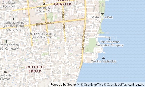
Route map
About the walk
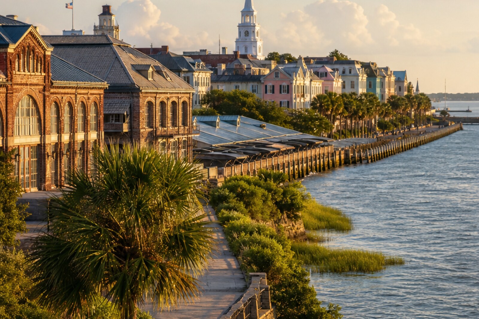
You will begin beneath the arches of the old market and step out toward the Cooper River. From there, the route stays close to the water: through a park built on abandoned wharves, past the Pineapple Fountain and the Old Exchange and Provost Dungeon, along pastel houses to the high stone waterfront and the trees of White Point.
This is a walk about a strip of shoreline that Charleston has repeatedly divided, filled, closed off, and returned to its residents. But instead of a broad overview, you will hear eight complete stories. Why were animal skulls left beneath the cornice of a public building? Why did a young man put on someone else's coat and a straw hat? How did a pink facade become evidence in an argument over a neighborhood?
The story will calmly separate documents from later legends, tying big changes to small decisions: a signature, a ticket, a habit of sleeping by the shore. By the end, you will read a Charleston postcard more precisely: spotting the old shoreline and filled land, the port and the promenade, the preserved facade and the story invented for it.
Why this order
At the market, you will see how a private agreement shaped a public building. The route then leads to the harbor, where an argument over private development decided the fate of an entire stretch of waterfront. Inside the park created there, the fountain shows how a new public space acquired its own city symbol. From there, you return to the old shoreline and the Old Exchange and Provost Dungeon—a building where commercial purpose gave way to military authority. Farther south, Rainbow Row continues the story of reclaiming abandoned places, this time through the efforts of individual homeowners. Just beyond the pastel facades, a vanished wharf reveals the harbor as a route to freedom. Next, High Battery explains where both the street and the wall raised above it came from. In White Point Garden, filled land conceals the former shoreline and the exact setting of the final story—where the route ends with a city walk literally laid over the old harbor.
Those who want to understand Charleston through its port and waterfront Those interested in the human decisions behind familiar facades Those who value documented stories without treating city legends as fact
Those looking mainly for walks through museum interiors Those who prefer a light overview without stories of slavery, war, and executions Those who need a loop walk returning to the starting point
Before you go
Most of the route is outdoors, and light reflected from the water feels especially strong along the waterfront: bring water, sun protection, and leave room for a pause in the shade. Plan a visit to the lower level of the Old Exchange and Provost Dungeon separately, and check access in advance—the exterior remains a full stop even if you cannot go inside. Market passages can be narrow, while the park and The Battery depend on weather and city work. Rainbow Row, the house near the Robert Smalls marker, and the mansions of East Battery Street are private property: view them from the street, do not climb the steps or enter the courtyards.
When to go
Start in the morning, when the market is already coming to life and the open stretches by the water have not yet overheated. Another good option is to walk the waterfront half closer to evening, leaving enough daylight for details on the facades and in the garden.
Backup plan
In hot weather, shorten the first part to an exterior look at Market Hall and the Old Exchange and Provost Dungeon, then pause before heading to the river. Keep the essential sequence from Joseph P. Riley Jr. Waterfront Park through the fountain and Rainbow Row to High Battery and White Point Garden. If the Old Exchange and Provost Dungeon is closed, do not rebuild the walk around getting inside: view the building from the square and continue toward the water. In heavy rain, strong wind, or during waterfront work, do not force your way along the most exposed edge; return to the waterfront section later, since the harbor view is what links the final stops.
Route conditions
Surface. Paved — 2.6 km (data covers 90% of the route)
Stairs. Flights: 2, 15 m in total
Access. Wheelchair — no; stroller — limited (stairs)
Facilities. Toilets — 7; drinking water — 5
Elevation. Ascent — 5 m; descent — 7 m
OpenStreetMap extract of June 18, 2026: database data, not a check on the ground. Data © OpenStreetMap contributors, ODbL licence
Walk plan
Open in maps ↗- 1
Market Hall and City Market
Here, the layout of the facade and passageways preserves the terms of a deal that survived a fire and a buyout. - 2
Joseph P. Riley Jr. Waterfront Park
This stop will show how abandoned piers were kept open to the public despite the appeal of profitable development. - 3
Pineapple Fountain
Here, the city symbol turns out to be not only a decoration, but also part of the space for visitors. - 4
Old Exchange and Provost Dungeon
This commercial building helps explain how a single signature became grounds for an execution without a full trial. - 5
Rainbow Row
The pastel facades show how owners, one by one, restored value to a former port district. - 6
The Turn from East Bay Street toward The Battery
From the vanished pier, the route will lead directly into the harbor for the first time, through which one family tried to escape together. - 7
High Battery
Here, you can distinguish the natural shore from the land and wall that the city’s residents built on credit and after hurricanes. - 8
White Point Garden
The finale will compare today’s garden with the former tidal point, whose exact boundaries were concealed by later fill.
Route features
Everything you need stays in the browser
Progress, saves and your trip plan are stored on this device.
Add Guide On Map to your home screen so the walk opens outside the browser.
How we handle sources, maps and corrections: our editorial standards