 Guide On Map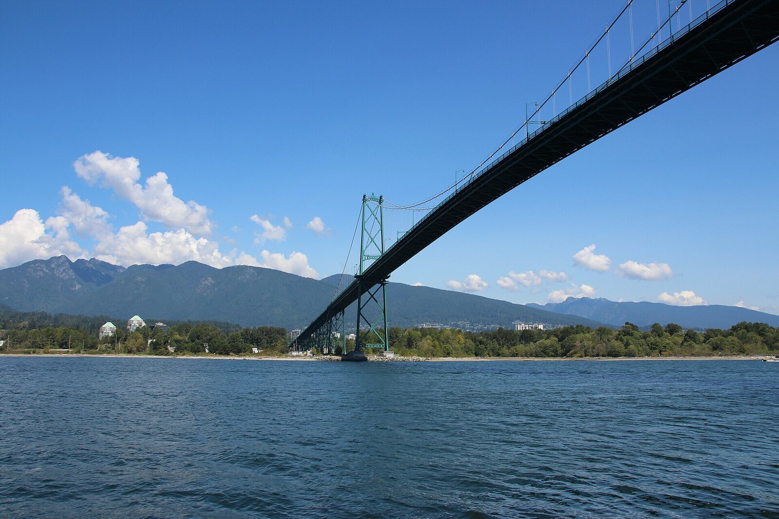
Look around first
What to notice
- Stone marker
- Bronze plaque
- Rocks below the platform
The story of the place
At the viewing platform, a stone marker with a bronze plaque points to the rocks below. For several years, a wrecked steamship lay off this shore: town residents climbed onto its deck with saws and axes, taking wood, parts, and fastenings. Later, a wave from a passing paddle steamer moved the remains into deep water. Now oak planks, iron engine parts, and fastenings are found beneath coastal boulders and on the seabed—the marker stands above the place where the hull long ago disappeared from view.
Prospect Point occupies the high south shore of First Narrows—the narrow entrance into Vancouver Harbour. The English name means a point with an open view. The main trace of its maritime history lies below the viewing platform: the steamship Beaver came to the end of its service on the rocks at the very shoreline.
On the night of July twenty-sixth, eighteen eighty-eight, Captain George Marchant was taking Beaver from Vancouver to Nanaimo for coal, after which he intended to deliver people and supplies to northern logging camps. The tide had almost reached its high point, but the water was still flowing into the bay. To get past the reverse current at the point, Marchant kept close to shore. The vessel struck the rocks directly below today's platform.
William Henry Evans, an assistant engineer who had joined Beaver only a month before the wreck, described this maneuver. He was asleep at the moment of impact. Evans recalled that the crew hurried to get out and did not even stop to collect their belongings: the sailors got into the water, waded to shore, and walked through the park. Everyone survived. Attempts to pull the steamship off the rocks failed, and full salvage was considered too expensive.
The vessel that began steam navigation on the northwestern coast of the Pacific Ocean was lost. Beaver was built in England in eighteen thirty-five for the Hudson's Bay Company. It crossed the ocean under sail; its engines were assembled near the Columbia River. The steamship supplied the fur company's trading posts, carried passengers during the gold rush, served as a hydrographic survey vessel, and charted the coast. By its final voyage, only the routine work of a tugboat remained of its former role.
For four years, the hull lay on the rocks. Town residents climbed onto the deck with saws and axes, cut wood for canes, and removed parts and fastenings. In the summer of eighteen ninety-two, a wave from the passing paddle steamer Yosemite moved Beaver's remains into deep water.
Vancouver bookseller Charles McCain decided to preserve at least its engines. At the lowest tides, he and his companions pulled levers, bronze valves, and copper bolts from the ruined hull. McCain struck commemorative medals from the copper. An attempt to raise a heavy shaft nearly cost him his life; Edward Brown, who was helping him, drowned.
A stone marker with a bronze plaque stands at Prospect Point directly above the wreck site. There is no intact hull below: archaeologists have found oak planks, iron engine parts, and scattered fastenings beneath shore boulders and on the seabed. They lie near the very bend that Captain Marchant tried to take close to shore.
Useful on site
Open section of Stanley Park; park hours are usually 06:00-22:00. Current information must be checked for the café/gift shop and winter seawall detours.
Checked: June 26, 2026. Check the official source before visiting.At the cliff edge, stay within the marked viewing area; wind and the flow of visitors may make it difficult to stop for long.