 Guide On Map
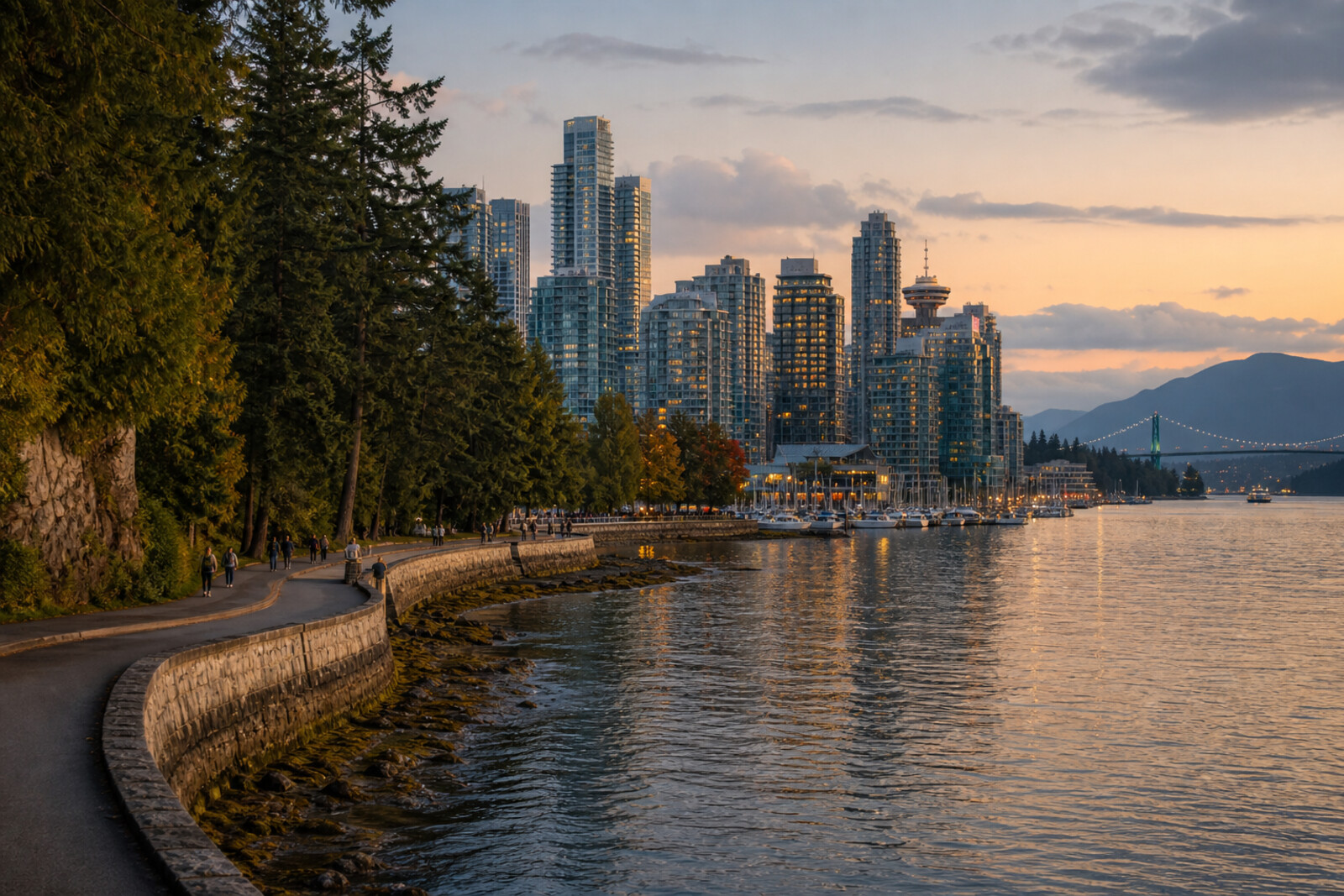
Stanley Park Along the Water
From Coal Harbour through Brockton Point to Second Beach
Guide On Map on your phone
Open the walk like a regular app
It takes about 10 seconds to install. No app store needed.
The whole path
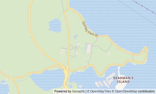
Route map
About the walk
The route begins at Coal Harbour, follows Lost Lagoon, crosses the park toward the northern shore, and then stays close to the water. You will circle Brockton Point, climb above First Narrows, descend to the western rocks, and finish at Second Beach.
This is not a walk through wild forest beside the city. You will come across an arch placed somewhere other than where it was built, an empty space in a row of carved poles, an opening beneath a lighthouse, and a stone marker above the water.
The stories will be calm and specific. They will separate documents from legend and begin with a small detail. Why did an entrance rest on a single trunk? Where did the lagoon go? What remains of the vessel beneath the viewing platform?
By the end, you will be able to point out where a seawall stopped the tide, where a boat passage became a path, and where an old Squamish name marks a vanished creek.
Why this order
The entrance at Coal Harbour sets the route's first layer: the present seawall takes the place of an earlier crossing. Beyond it lies Lost Lagoon, making the result of the next intervention in the same water immediately clear—a tidal bay became a pond. From the lagoon, the path crosses the peninsula to Lumberman's Arch: after the altered shore comes a structure that was moved and replaced. Nearby, at Brockton Point, the row of carved poles continues the question of who chose objects for the park and what disappeared from it over time. The road then reaches the lighthouse and shifts the story from land to maritime service. Along the same shoreline, you will reach Prospect Point, where ship traffic becomes a specific wreck beneath the viewing platform. The descent to Siwash Rock moves from documented maritime history to a legend tied to a single rock. Stanley Park Seawall leads from there to Second Beach, where the route ends at another remade shore—this time a public place for recreation.
Those who want to walk through Stanley Park along the water, not only through the forest Those who value human episodes over a general overview Those interested in Indigenous history and the urban shoreline
Those looking for a walk without climbs or long stretches Those who want natural views only Those who do not want to hear about wrecks, colonial choices, and vanished places
Before you go
Wear shoes for extended walking and bring a layer against wind and rain: conditions by the lagoon, in the forest, and above the strait can differ noticeably. Check city notices about the condition of Stanley Park Seawall in advance, and follow temporary signs on site. On the shared path, keep to your lane, do not stop in the middle of traffic for a photograph, and pay especially close attention near popular viewpoints. It is best to bring water and anything else you need, rather than shape the walk around service points that may happen to be open.
When to go
Allow 2–3 hours on foot. This assumes unhurried listening to eight stories and short pauses by the water; photographs, time on the beach, or long stretches watching ships will noticeably extend the walk.
Backup plan
If the western section is closed or the weather makes the exposed shore uncomfortable, do not go beyond barriers or look for an improvised detour by the rocks. Take the first five stops—from Coal Harbour to Brockton Point Lighthouse—and end the walk there: this section already forms a complete story about the park entrance, the lagoon, the village, the poles, and the harbour. Save Prospect Point, Siwash Rock, and Second Beach for another day, when a marked open route leads to them.
Route conditions
Surface. Paved — 5.9 km; unpaved — 3.5 km
Stairs. Flights: 2, 7 m in total
Access. Wheelchair — no; stroller — limited (stairs)
Facilities. Toilets — 11; drinking water — 8
Elevation. Ascent — 103 m; descent — 96 m
OpenStreetMap extract of June 18, 2026: database data, not a check on the ground. Data © OpenStreetMap contributors, ODbL licence
Walk plan
Open in maps ↗- 1
The Narrow Passage at Coal Harbour
Here it will become clear why the city entered the park through this narrow strip of land and water. - 2
Lost Lagoon
This stop will connect the poetic name with the physical transformation of a tidal bay. - 3
Lumberman's Arch
This stop will show how an ornament for a single city passage acquired a second location and a second structure. - 4
Totem Poles at Brockton Point
The row of poles helps trace who decided which carvings would represent Indigenous peoples to park visitors. - 5
Brockton Point Lighthouse
Here, the park's maritime service becomes a story of watch duty, rescue, and an unsuccessful descent to the water. - 6
Prospect Point
The height above the narrows makes it possible to piece together the ship's fate from traces left on shore and underwater. - 7
Rock by the western cliff
Geology and legend offer two different answers to the question of why the rock stands apart from the shore. - 8
Second Beach and the public shore
The finale brings together the material once gathered here and the city beach along a single stretch of shore.
Route features
Everything you need stays in the browser
Progress, saves and your trip plan are stored on this device.
Add Guide On Map to your home screen so the walk opens outside the browser.
How we handle sources, maps and corrections: our editorial standards