 Guide On Map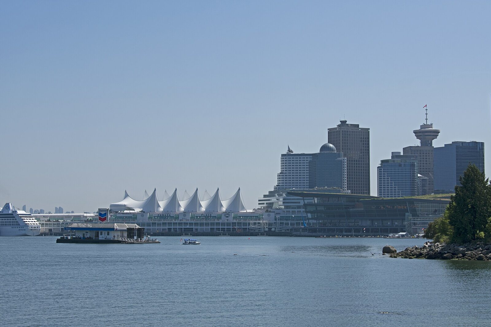
Look around first
What to notice
- Causeway-dam
- Passage beneath the dam
- The waters of Coal Harbour
The story of the place
In the mid-eighteen eighties, Emily Strathy crossed Coal Harbour on a fallen tree. Emily and her husband Alexander had recently arrived in Granville, a settlement soon to be named Vancouver. Alexander earned money through construction contracts, while Emily set up two small tables in their home and served tea and toast to newcomers who had nowhere else to eat outside hotel hours.
On Sundays, the couple walked to the peninsula then called the Government Reserve: the federal government kept it for military needs. At the narrowest point of the upper part of the bay lay an enormous trunk with roots and branches. According to Emily's recollections, at high tide the water beneath it was deep enough. She stepped carefully along the wood, Alexander kept repeating, “Just don't fall,” and on the other shore they had to make their way over boulders to dry land. Both crossed this route safely and returned home; the trunk probably kept boats and canoes from going farther into the bay.
It was precisely the narrowness of the water that determined the location of the future entrance. In May eighteen eighty-six, Vancouver's first city council, at its first business meeting, asked the government in Ottawa to transfer the reserve for a public park. Permission came a year later. The Vancouver Board of Works ordered a road to be laid around the peninsula so that residents could reach the new park. More than fifty men with draft animals cleared the forest, removed soil, and laid gravel. At the site of the fallen tree, contractors built a pile bridge linking the end of Georgia Street with the seven-mile park road.
On September twenty-seventh, eighteen eighty-eight, a procession crossed the bridge to mark the opening of the park. The city band rode in the first carriage and the fire brigade in the second; each was drawn by a team of four horses. Carriages carrying residents, officials, and Vancouver Park Board commissioners followed. Mayor David Oppenheimer had pressed for the military reserve to become an accessible city park, and now he led Vancouver through the entrance built for it.
The name was kept secret until the ceremony. Oppenheimer asked railway entrepreneur Donald Smith to choose a name. Smith proposed Frederick Stanley, recently appointed Governor General of Canada, and obtained his consent. Once inside the park, Oppenheimer climbed onto a temporary platform and announced: Stanley Park. Stanley himself was absent from the opening. He came to Vancouver the following year; for his visit, carpenters built a ceremonial wooden arch over the bridge, and the Governor General drove beneath it to dedicate the park in person.
The water beneath this entrance had its own name before Vancouver existed. In June eighteen fifty-nine, Captain George Henry Richards of a British survey vessel learned from reports by Indigenous people that coal might be found on the shore. He assigned the investigation to the ship's senior engineer, Francis Brockton. For Brockton, it was fuel on which the operation of his vessel's steam engine depended. He found an exposed seam on the southern shore of the harbour. In a few hours, the sailors extracted more than two tons, successfully burned part of it in the galley installation, and prepared to test the coal in the steam furnaces.
Richards sent samples to Governor James Douglas and wrote that the find could quickly benefit Queensborough—the future New Westminster. Later prospectors abandoned development, and no mines appeared on the shore. Maps retained the name Coal Harbour, literally “coal harbor.”
The fallen trunk, the pile bridge, and the Stanley arch are no longer here. The modern causeway-dam and the passage beneath it occupy the same narrow place. Above the former crossing, the two names still meet: one remained after the trial firing of the ship's coal, the other after the Governor General drove beneath the wooden arch.
Useful on site
Stanley Park is usually open 06:00-22:00, unless otherwise stated; on the seawall, follow the posted one-way/counterclockwise traffic rules.
Checked: June 26, 2026. Check the official source before visiting.Look around only from the safe edge of the path, and do not block traffic for the panorama.