 Guide On Map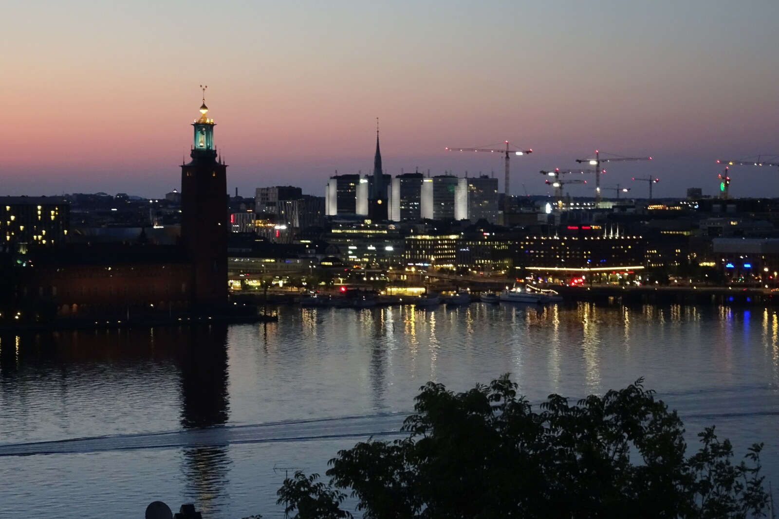
Look around first
What to notice
- Exposed rock
- Riddarfjärden
- Stockholm City Hall
The story of the place
A rocky slope rises above the former tanners’ bay; workshops and yards once stood on the shore below it, where hides were dressed. The craftspeople needed water to rinse the leather, while the rocks kept their work and its heavy smell away from the cramped residential streets. The exposed rock at the top later became a park, and only the name remains here from the vanished workshops.
Skinnarviksberget rises fifty-three meters above sea level. It is the highest natural point within old Stockholm. Today, people picnic on the exposed rock and look across Riddarfjärden toward Stockholm City Hall. The summit was named by people who worked by the water below the cliff.
In Swedish, “skinnare” means tanner, and “vik” means bay. In the seventeenth century, the dense city ended much closer to Slussen. Tanners needed a shore: hides were repeatedly washed and treated, turning them into durable material for clothing and footwear. The workshops gave off a strong smell, so the craftspeople settled farther from residential quarters, but not from their customers. The shore of Riddarfjärden gave them water, and the rocks separated them from the city.
This was how the craftspeople made their living: townspeople brought their own hides and paid to have them treated. This service is listed separately in the city tariff of sixteen fifty-four.
One of the local masters survives in the documents by name. Jöran Markusson Skinnare sought here exactly what a tanner needed: water for work and a plot beyond the cramped development. A posthumous inventory from sixteen fifty-eight identifies him as a tanner and the owner of a yard by Skinnarviksgatan—the road to the tanners’ bay. It is a record of property, and at the same time evidence that the name arose from a real neighborhood of workshops, homes, and shore.
The form “Skinnareberget,” the tanners’ mountain, appears in documents as early as sixteen thirty-six. Later, the current name took hold—the mountain above the tanners’ bay. Their workshops and yards by the water have not survived. In nineteen fifteen, the city officially gave the old craft name to the park, and it remained above, although the work that gave rise to it was done below.
Useful on site
A municipal route stop; access to the elevator, church, museum, and theater varies, so check the current rules on the official pages or on site.
Checked: date not specified. Check the official source before visiting.Stay on stable parts of the rock and do not approach the edge for a photograph. After rain and in winter, the stone is especially treacherous.