 Guide On Map
Södermalm Above the Water: Heights, Elevators, and Old Streets
From Skinnarviksberget through Slussen to Fjällgatan
Guide On Map on your phone
Open the walk like a regular app
It takes about 10 seconds to install. No app store needed.
The whole path
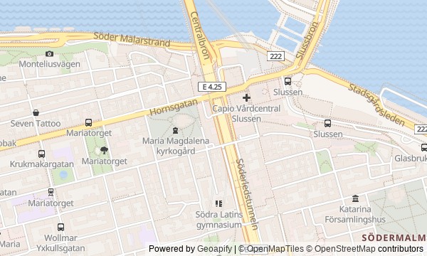
Route map
About the walk
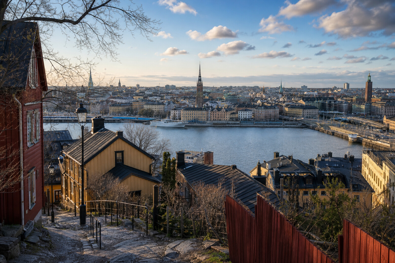
First, you will climb onto the open rocks above Riddarfjärden. Then you will follow Bastugatan, take the narrow path behind the residential buildings, and reach an old iron bridge. After the church, you will descend to Slussen, gain height again by Mosebacke, and finish among the low houses of Fjällgatan.
This is Södermalm from the edge: gardens behind fences, retaining walls, elevator towers, terraces above the harbor. The panorama will keep changing, but the story will stay with those who paid for a shortcut, defended a courtyard, worked in a single room, or spent years fighting to preserve other people's modest homes.
You will also hear a city legend about testing a bridge. Who found themselves on it before it opened, and why it was hard to refuse, you will discover on the spot. The story will calmly separate document from legend and hold on to the things in front of you.
By the end, you will be able to read Södermalm's northern edge as the result of disputed decisions: where city residents yielded to private convenience, and where they returned the slope to everyone.
Why this order
At Skinnarviksberget, you will first see the landscape itself: the rock above the water where life in this part of the city began. Nearby Ivar Lo's Park will move the story from a former craftsman's shore to residential Mariaberget and the man who worked in the house opposite. Just beyond the park, Monteliusvägen begins: the dispute over space by the houses becomes visible in the fence and in the path set beyond the retaining walls.
This passage leads to Mariahissen—an early attempt to turn the same change in elevation into urban transport. Maria Magdalena Church then shows that the southern approach to the old city had military importance long before elevators. From the church, it makes sense to descend to Slussen, where water, transport, and another climb onto Södermalm meet.
Katarinahissen takes you back up near Mosebacke, where the slope was used for paid entertainments. The final walk along the cliff toward Fjällgatan ends with houses preserved after a long city dispute. Together, the route shows how people shaped one edge of Södermalm: working beneath the rock, sharing the view, building shortcuts, and protecting old buildings.
Those who enjoy city panoramas with a specific history Those interested in old residential neighborhoods and engineering structures Those ready for climbs, descents, and paths along the cliff
Those looking for a walk only through the grand city center Those uncomfortable with a route that has noticeable changes in elevation Those who prefer to explore places mainly from the inside
Before you go
Wear shoes with grippy soles and bring a layer for the wind: the open rocks and terraces feel colder than the streets below. The whole main story is available outdoors, so the route does not depend on entering buildings. If you want to visit the Ivar Lo-Johansson Museum, the church, Södra Teatern, or the Stigbergets borgarrum apartment, check visiting conditions separately in advance. Do not count on the old elevators as an essential part of getting around, and follow current detours near Slussen.
When to go
Go in daylight so you can move confidently across the rock and see the details of the houses. Early morning brings quieter paths, while evening light gives the water and roofs more presence; after rain, leave extra time to move carefully.
Backup plan
If the rock or Monteliusvägen feels unsafe, begin at Ivar Lo's Park and travel between the following points on ordinary streets, keeping Maria Magdalena Church, Slussen, Mosebacke, and Fjällgatan. If time is short, keep Skinnarviksberget, Ivar Lo's house, Monteliusvägen, Slussen with Katarinahissen, and the final Fjällgatan: this gives you a shortened line from a working-class outskirts through literature and an engineering hub to a residential slope. Interior visits are best saved for a separate day.
Route conditions
Surface. Paved — 2.4 km; unpaved — 195 m (data covers 97% of the route)
Stairs. Flights: 8, 121 m in total
Access. Wheelchair — no; stroller — limited (stairs)
Facilities. Toilets — 2
Elevation. Ascent — 20 m; descent — 27 m
OpenStreetMap extract of July 9, 2026: database data, not a check on the ground. Data © OpenStreetMap contributors, ODbL licence
Walk plan
Open in maps ↗- 1
Skinnarviksberget
Here you will learn why the name of a vanished craft remained on the highest natural point in the old city. - 2
Ivar Lo's Park and Bastugatan twenty-one
An ordinary one-room apartment will connect the city slope with the rural workers’ struggle for cash wages. - 3
Monteliusvägen
The fence and retaining walls will show the price paid to separate the shared view from private gardens. - 4
Bellmansgatan and Mariahissen
The interrupted route from the steamboat to the upper streets preserves both a business calculation and an unsettling city legend. - 5
Maria Magdalena Church
The surviving medieval masonry will take the route back to a time when this slope was a dangerous approach to Stockholm. - 6
Slussen and Katarinahissen
Here, the natural difference in water levels and the city's difference in elevation come together in a single transport hub. - 7
Mosebacke and Södra Teatern
The theater terrace will show just how far entertainment promoters were willing to go for a paying audience. - 8
Fjällgatan
The final panorama comes together through two decisions: to clear the edge above the harbor and to preserve the modest houses opposite.
Route features
Everything you need stays in the browser
Progress, saves and your trip plan are stored on this device.
Add Guide On Map to your home screen so the walk opens outside the browser.
How we handle sources, maps and corrections: our editorial standards