 Guide On Map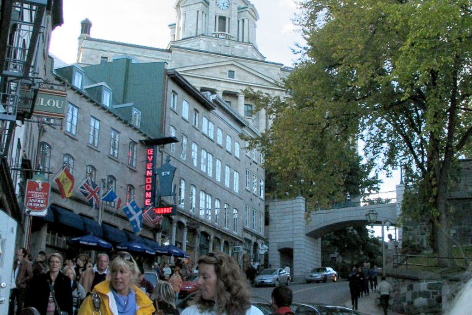
Look around first
What to notice
- Stone arch
- Pedestrian bridge
- Stone bearing Prescott’s death date
- Retaining wall
The story of the place
Côte de la Montagne is a steep, winding descent between Upper Town and Lower Town. In the French name, “côte” means a road on a slope, and “montagne” means a mountain. It describes the terrain, not someone’s surname.
Samuel de Champlain, the founder of Quebec City and head of the trading settlement, was the first to face a simple problem here. Below, on the site of today’s Place Royale, stood a fortified trading post with living quarters and a warehouse. This was where supplies and goods were stored, and representatives of Indigenous peoples traded furs for European goods. In sixteen twenty, Champlain built Fort Saint-Louis above: from the height, it was possible to watch the river and defend the trading post. A cliff remained between the warehouse and the fort.
Champlain laid a road here. At first, a straight path led downward, suitable only for pedestrians. In sixteen twenty-three, builders added a lower bend and brought the route through to Lower Town. This created the first permanent connection between Quebec City’s port area and its fortified summit. Later, a commercial district grew around the lower trading post, while the governor’s residence and government institutions were established above. People, goods, and carriages all had to converge on this ascent.
Robert Prescott, the British governor general and commander of troops in North America, responsible for Quebec City’s defense, took advantage of this. In seventeen ninety-seven, he ordered the ascent blocked by a stone gate. A guardroom was built above the low arch, where soldiers stood watch around the clock. A carriage could barely pass through the opening, pedestrians were given a separate passage with steps, and the gate leaves were closed at night.
For the cart drivers who earned their living delivering goods from the port uphill, the gate became a constant delay. By the middle of the nineteenth century, more houses and traffic had appeared on the slope; the muddy, narrow road required considerable effort in itself, and the entire flow also had to squeeze through a single arch.
Prescott left Canada and died in England in eighteen fifteen. After his death, the gate was given his name, and a stone bearing the year of his death was placed above the cannon embrasure. In eighteen fifty-four, the passage was widened, but that proved insufficient. Seventeen years later, the gate was demolished, and the cart drivers gained an unobstructed ascent.
The present arch appeared in nineteen eighty-three, below the former site. It has concrete inside and stone facing outside; there are no lockable gate leaves or guardroom. It is a pedestrian bridge, built to a design proposed by Lord Dufferin a century earlier. The old gate site is marked by a stone bearing Prescott’s death date, set into the retaining wall, and beneath it the road, routed to Lower Town in sixteen twenty-three, still curves.
Useful on site
An open city street and stairway connection. In winter, after rain, and during city works, the passage may be slippery or partly restricted.
Checked: June 29, 2026. Check the official source before visiting.Go without rushing, keep away from traffic, and step carefully on wet or icy surfaces.