 Guide On Map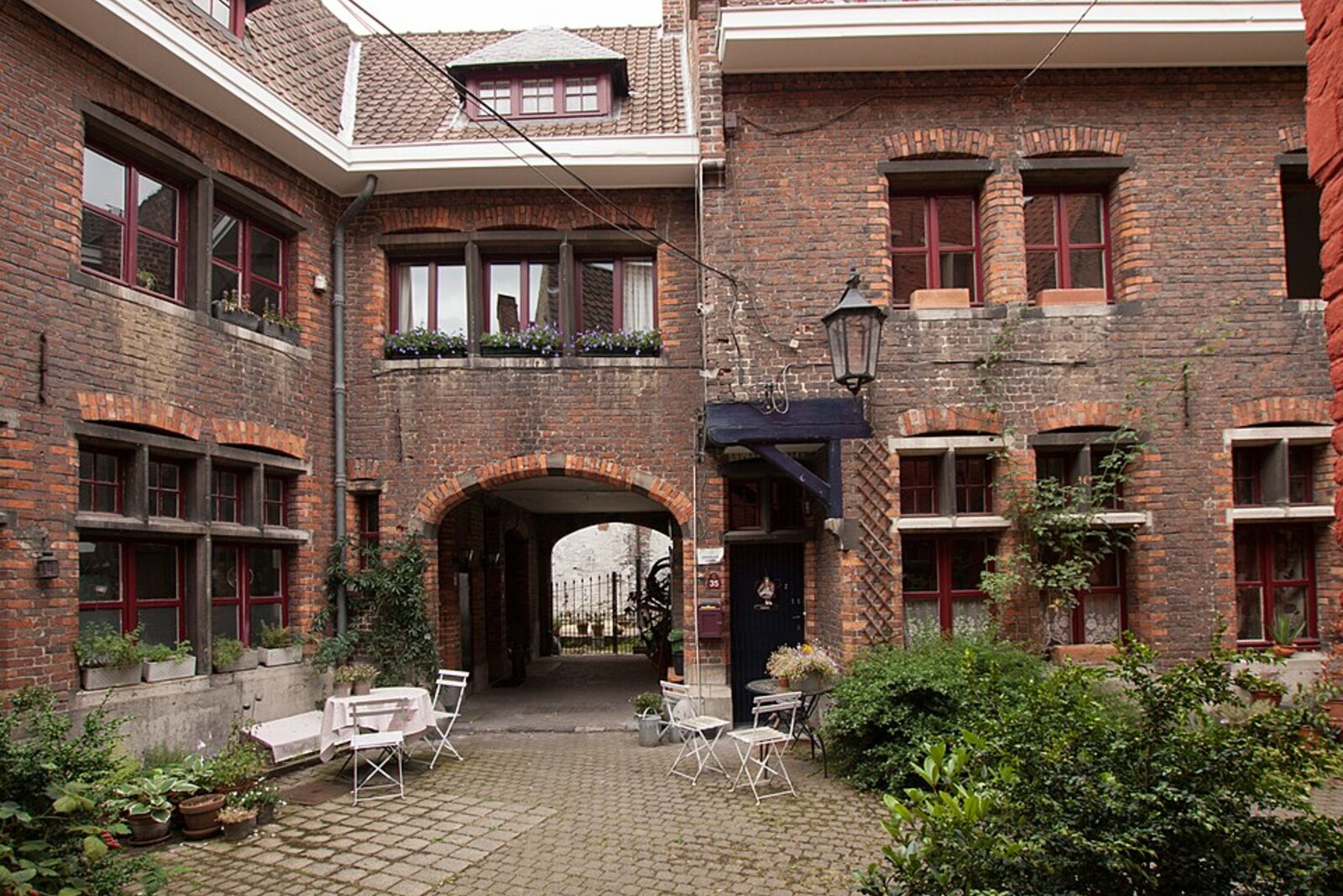
Look around first
What to notice
- The blue door at the corner of Rodekoningstraat and Trommelstraat
- The wall of the former monastery
The story of the place
Patershol took shape from residential streets beside a monastery and a trade that depended on water. Where townspeople now live and restaurants are open, ploters once worked, preparing hides for tanning. The monastery wall at the corner survives as a visible boundary of the Carmelites’ former property. The canal itself is now hidden underground, but its water once supported the local workshops.
At the corner of Rodekoningstraat and Trommelstraat, a blue door survives in the wall of the former Carmelite monastery. Behind it was a low passage to Plotersgracht, a canal that crossed the entire neighborhood.
According to local tradition, this passage appeared because of construction at the monastery. In the middle of the seventeenth century, the Carmelites decided to build an infirmary for sick brothers above the canal. They did not have enough free land, so they placed the building across the watercourse, occupying both banks.
But residents of the neighboring streets used the water. Many of them were ploters—leatherworkers who soaked hides, stripped off the hair and fat, and prepared the leather for tanning. The canal took its name from this profession: Plotersgracht means “the ploters’ canal.” Closing access to it would have deprived the craftspeople of the water on which their livelihood depended.
The Carmelites got their infirmary, while the townspeople were left a water staircase and a separate passage through the monastery wall. People did not have to enter the inner courtyard where the monks lived: they went down to the canal through a low, dark corridor. The monastic fathers here were called paters, and the word “hol” meant a burrow or a narrow passage. The people of Ghent nicknamed it Patershol—“the paters’ burrow.” Then the name of one corridor passed to the surrounding streets.
In eighteen seventy-two, Plotersgracht was almost entirely enclosed underground. The leatherworkers had long since gone, and townspeople now live in the old houses and restaurants operate there. Of the arrangement that gave the neighborhood its name, only the blue door, the monastery wall, and the street above the filled-in canal remain. The passage itself is closed, but its name still refers to all of Patershol.
Useful on site
The streets of the neighborhood are open around the clock. At the museum and Kunsthal, hours depend on exhibitions.
Checked: date not specified. Check the official source before visiting.Do not turn the residential alleys into a photo set: keep doorways and windows clear, keep the noise down, and be mindful of restaurant visitors.