 Guide On Map
Sultan’s Yogyakarta and the Colonial City
From Ngejaman through Kraton Yogyakarta and Taman Sari to Plengkung Gading
Guide On Map on your phone
Open the walk like a regular app
It takes about 10 seconds to install. No app store needed.
The whole path
Route map
About the walk
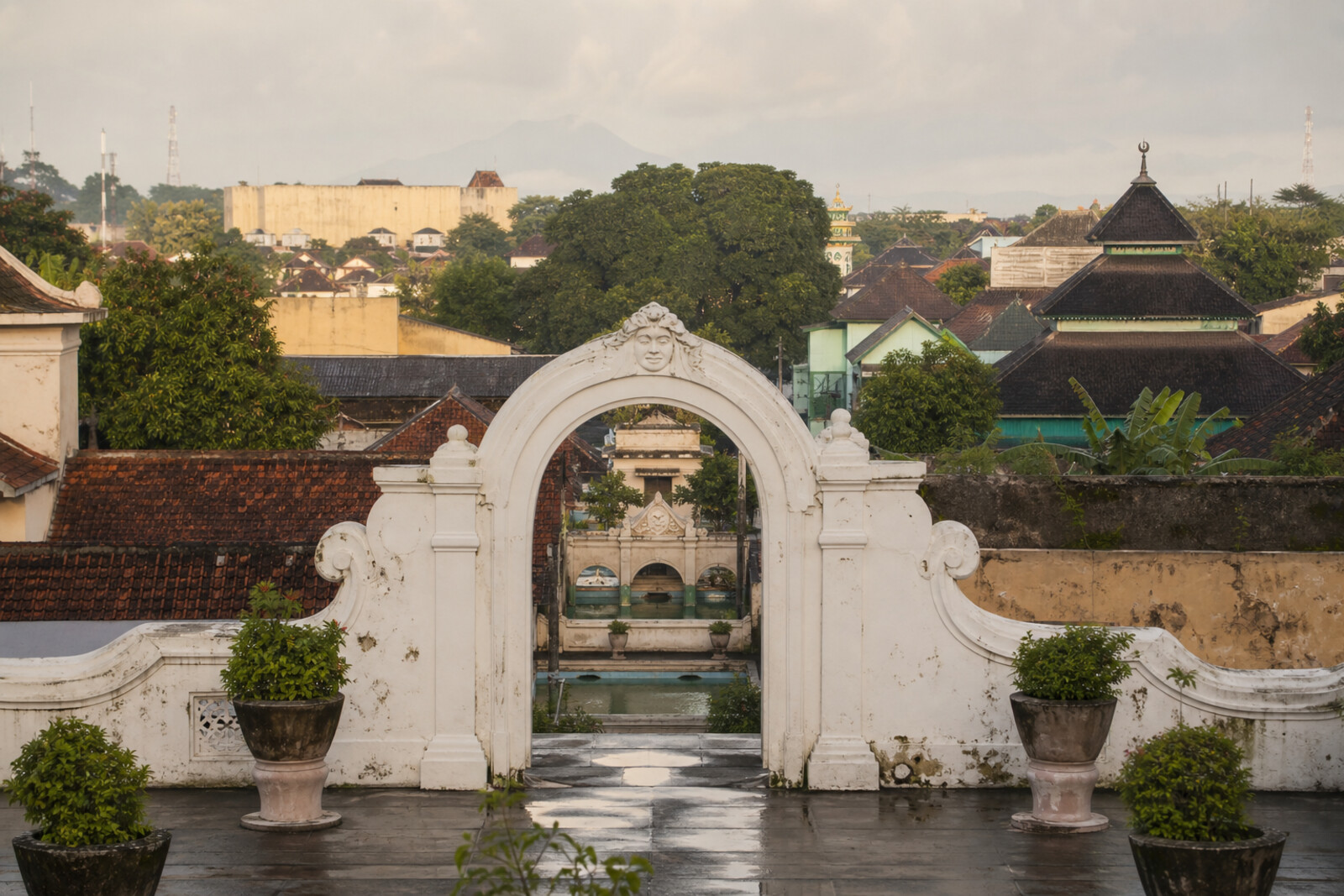
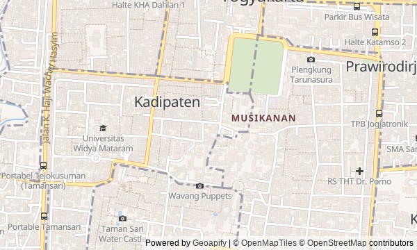
You will begin at the city clock at the southern end of Malioboro Street and head toward Kraton Yogyakarta along the old northern road. At first, there will be a market, a colonial fort, and an open square around you. Then the road will enter the palace courtyards, turn toward the mosque, pass through the former water garden and the residential lanes that grew among its walls, and end at the white southern arch.
This is not a walk through “the sultan’s sights,” but through the place where the court meets the city. Why does a precise street clock depend on being wound by hand? Why would a sultan pay for a fort beside his own palace? And what made teenagers draw diagonal lines across a mosque floor? The answers stay within the stops.
The story will be calm and exact. It will separate court legend from what is established, then bring great changes back to small things—a basket, a chalk line, a drained lake. By the end, you will be able to read central Yogyakarta as a chain of agreements between the palace, colonial power, and city residents.
Why this order
The clock sets the overall rhythm for the route’s northern commercial section, so Beringharjo Market comes next—a place of daily movement for goods and people. Just beyond the market, Fort Vredeburg shows the other side of the same urban knot: armed control over the road to the palace. From its southern wall, North Alun-alun opens up, where pressure from the barracks became public ceremony before Kraton Yogyakarta. After the square, the route enters the palace: the outer parade ground continues into the coronation space. The path then turns toward the mosque on the square’s western side, because this is where the sultan’s power moved from the throne into religious order. From Kauman, the road continues to Taman Sari, shifting from public institutions to the private life of the court. Beyond the bathing pools, Kampung Taman explains the fate of the vanished lake better than a separate ruin could. The final passage south to Plengkung Gading closes the palace grounds at the gate through which the sultan could leave only on a special occasion.
Those who want to understand Kraton Yogyakarta through the city around it Lovers of stories about the everyday side of power Those interested in markets, palace quarters, and urban ruins
Those expecting a walk only through palace halls Those looking for a short route without long stops Those who dislike markets and dense urban development
Before you go
The route passes through an active palace, mosque, market, museum sites, and a residential quarter, so there is no single set of visiting conditions. Before you set out, check current access to Kraton Yogyakarta, Fort Vredeburg, and Taman Sari rather than relying on old schedules and prices. Choose clothing that covers your shoulders and knees; at the mosque, remove your shoes, do not enter during prayer without an invitation, and follow the attendants’ instructions. Bring water and sun protection, but be ready to put them away where the rules require it. In the kampung, distinguish a public passage from a private courtyard, and ask permission before photographing residents.
When to go
Allow about 4.5 hours and roughly four kilometers of walking for the route without a detailed visit to Fort Vredeburg museum. The fort’s full exhibition will take another 45–60 minutes. It is best to save most of your time for Kraton Yogyakarta and Taman Sari: you can get a feel for the market in a short pass through, while the palace spaces do not take kindly to being rushed.
Backup plan
If you cannot get inside Kraton Yogyakarta, keep the sequence of the story: take in the palace approach, North Alun-alun, and the accessible gates, then view the mosque from the permitted side and continue to Taman Sari. If the bathing pools are inaccessible, follow the public lanes of Kampung Taman to the visible ruins of Pulo Cemeti, without entering courtyards uninvited. If both main complexes are closed, the route still works from the outside: the fort opposite the palace zone, the square, Kauman quarter, fragments of the water garden among houses, and Plengkung Gading preserve the transition from a ceremonial capital to the inhabited remains of its old geography.
Route conditions
Surface. Paved — 3.8 km; unpaved — 16 m (data covers 86% of the route)
Access. Wheelchair — limited; stroller — limited
Elevation. Ascent — 10 m; descent — 25 m
OpenStreetMap extract of July 7, 2026: database data, not a check on the ground. Data © OpenStreetMap contributors, ODbL licence
Walk plan
Open in maps ↗- 1
Marga Mulya Clock (Ngejaman)
Here you will find out why an accurate city mechanism depended on the hand of a palace servant. - 2
Beringharjo Market
Everyday trade will show how the city could be unobtrusively linked to the units in the surrounding area. - 3
Fort Vredeburg
Here, the promised protection of the palace would turn into a means of pressuring the sultan. - 4
North Alun-alun
A public ceremony will show how the sultan could yield to colonial officials and still keep the final word for himself. - 5
Kraton Yogyakarta
The coronation pavilion will show why family agreement was not enough to obtain the throne. - 6
Kauman Great Mosque
One dispute over lines on a floor explains how precise calculation collided with the court's religious order. - 7
Taman Sari
The story of the commission will explain what price had to be set for creating the secluded garden of the sultan's family. - 8
Kampung Taman
A neighborhood among the palace walls will show how a temporary settlement took the place of a vanished lake. - 9
Plengkung Gading
The final gate will connect an ordinary city road with a special rule that applies only to the sultan.
Route features
Everything you need stays in the browser
Progress, saves and your trip plan are stored on this device.
Add Guide On Map to your home screen so the walk opens outside the browser.
How we handle sources, maps and corrections: our editorial standards