 Guide On Map
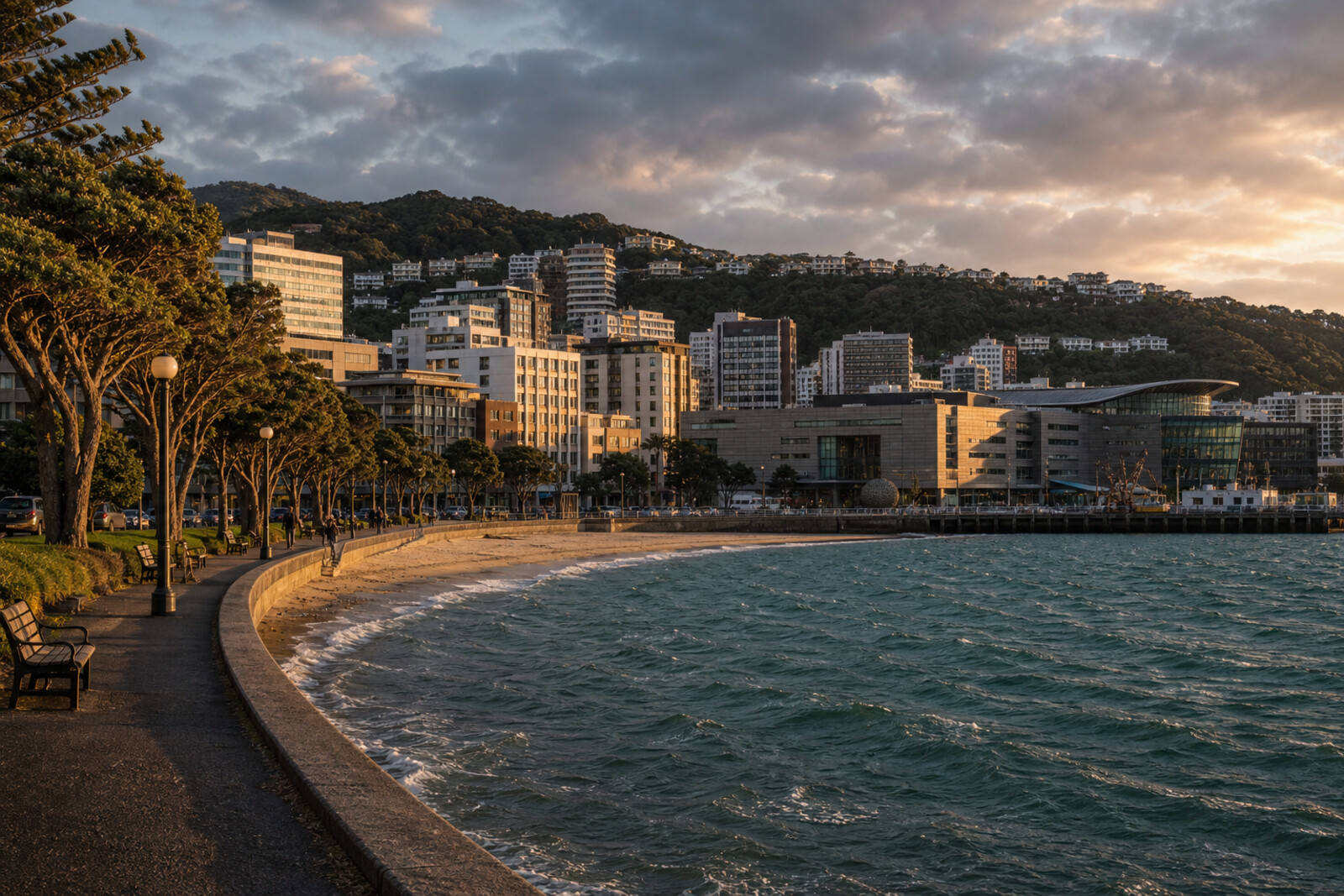
Wellington Harbour and Waterfront
From Oriental Bay via Museum of New Zealand Te Papa Tongarewa and Queens Wharf to the City to Sea Bridge
Guide On Map on your phone
Open the walk like a regular app
It takes about 10 seconds to install. No app store needed.
The whole path
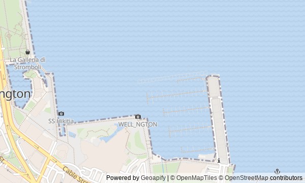
Route map
About the walk
You will set out from the bathing shore of Oriental Bay, following the boat harbours to Museum of New Zealand Te Papa Tongarewa, then crossing the lagoon and old wharves toward the passage between city and sea.
At first, the waterfront will feel like a chain of beaches, sheds, and places for boats. Farther on, you will see how people gave public purpose back to the water: building a yacht in a workshop, arguing over who should own a waka, giving a name to a nameless lagoon, and linking the former port to the city center.
The story rests on small clashes. Why would a swimmer need signal lights? Why would a national museum choose a material unlike traditional carving? How could an ownerless dog become the shared concern of an entire wharf? The answers appear among colorful doors, glass walls, lettered boards, and wooden beings on a bridge.
After the walk, you will be able to read Wellington's shoreline as an argument over the right to use the water—and point out where each argument left a tangible trace.
Why this order
Freyberg Beach sets up the city's first connection with the water, while the neighboring Clyde Quay sheds show how a bathing waterfront turns into a working boat harbour. From the sheds, the route leads to Museum of New Zealand Te Papa Tongarewa: after private yachts, the national way of bringing different communities together becomes important. The next boathouse takes the same question from the museum straight to active waka and the argument over who owns them. Just beyond it, the lagoon explains why bringing boats back also meant restoring a Māori name to the shore. The route then follows the water to Queens Wharf, where the public life of the former port survives in a building and in the memory of one of its residents. The final return south is for the bridge: it quite literally links the harbour you have crossed with the library and the city center.
For a first introduction to Wellington's waterfront For those interested in maritime history and the urban landscape For listeners who value small human stories
For a walk only along natural shores For those who do not want to enter a museum space For a route without returning along a familiar stretch of waterfront
Before you go
The main story is available entirely from outside, so entering the buildings is optional. If you want to combine the walk with Museum of New Zealand Te Papa Tongarewa, Wellington Museum, or Te Matapihi ki te Ao Nui, check their current availability separately in advance and allow extra time: a full visit can easily become a visit of its own. Treat Te Raukura as an active cultural and public place; view it from the accessible side and respect any events taking place there. Wind and rain change quickly on the open harbour, so bring a windproof outer layer and shoes comfortable for a long walk along the city waterfront.
When to go
About three hours for the full route with audio stories and a brief look at each stop. Entering even one museum or stopping for a long time at the library will noticeably extend it; for an unhurried visit to several interiors, it is better to allow half a day.
Backup plan
In rain, shorten pauses on the open sections by the beach, sheds, Te Raukura, and lagoon, and spend most of your time in the accessible spaces of Museum of New Zealand Te Papa Tongarewa, Wellington Museum, or the library. In strong winds, view the water from sheltered sections of the promenade and do not approach the wet edge. If the bridge or part of the waterfront is closed, use the marked city detour and do not cross barriers: the bridge can be discussed from the accessible side, and the final connection between the square and harbour can be seen without stepping onto the crossing itself.
Route conditions
Surface. Paved — 1.8 km (data covers 85% of the route)
Stairs. Flights: 2, 5 m in total
Access. Wheelchair — no; stroller — limited (stairs)
Facilities. Toilets — 10; drinking water — 10
Elevation. Ascent — 21 m; descent — 20 m
OpenStreetMap extract of June 18, 2026: database data, not a check on the ground. Data © OpenStreetMap contributors, ODbL licence
Walk plan
Open in maps ↗- 1
Oriental Bay and Freyberg Beach
Here, beach names connect the bay’s early settlement, the city’s public baths, and a skill that proved useful far from Wellington. - 2
Clyde Quay Boat Sheds
The sheds show that the boat harbour remains a workshop where old vessels return to the water. - 3
Museum of New Zealand Te Papa Tongarewa
The National Museum of New Zealand will serve the route as a place where a collection of collections was supplemented by a functioning venue for different communities. - 4
Te Raukura – Te Wharewaka o Pōneke
Here, the route tests whether a building constructed for a community can resolve a dispute over ownership of its boat. - 5
Whairepo Lagoon
The lagoon shows how local knowledge became established not through a monument, but through an official name for the water. - 6
Wellington Museum and Queens Wharf
The wharf adds to the port’s history a rare example of shared care for a stray dog. - 7
Te Matapihi ki te Ao Nui and the City to Sea Bridge
The finale will link the library, the city center, and the harbor in a single crossing, where an engineering task became a carved story of arrival.
Route features
Everything you need stays in the browser
Progress, saves and your trip plan are stored on this device.
Add Guide On Map to your home screen so the walk opens outside the browser.
How we handle sources, maps and corrections: our editorial standards