 Guide On Map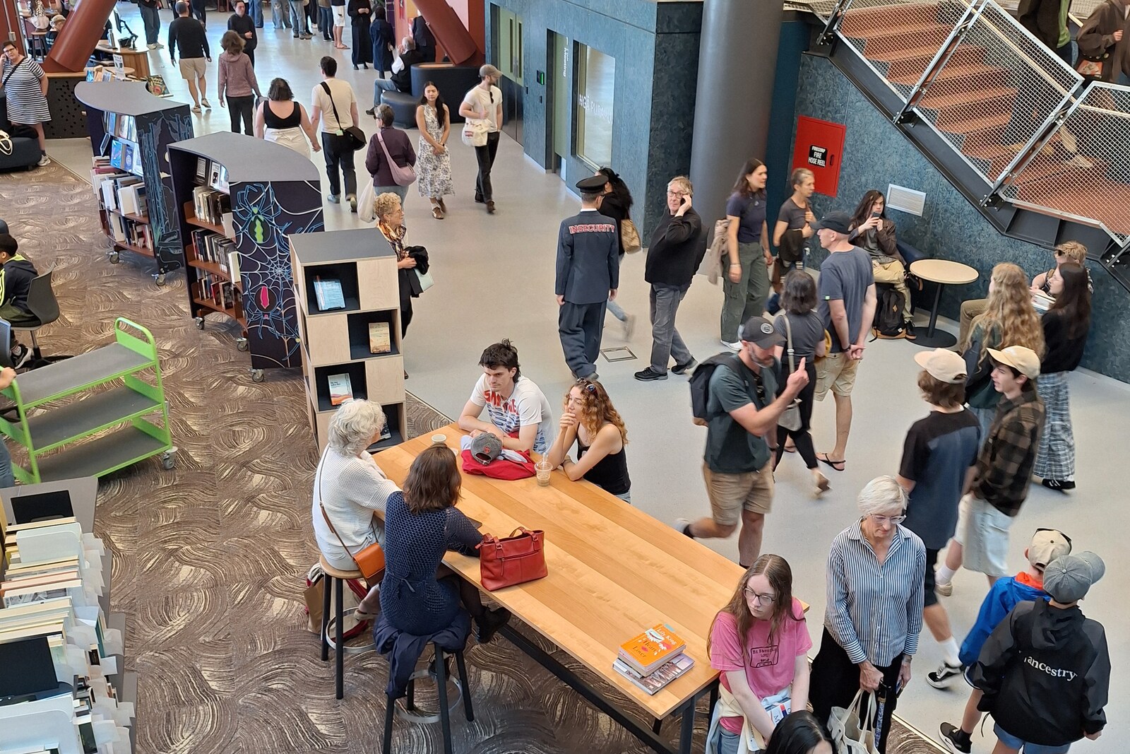
Look around first
What to notice
- The library's rippling glass wall
- Metal nīkau-palm columns
- Wooden taniwha, birds, and fish
- The serrated fish arch
The story of the place
The rippling glass wall of the city library opens its reading floors onto the square, while the metal columns at the facade echo the silhouette of nīkau palms. From here, the pedestrian bridge crosses Jervois Quay toward the water: the waterfront once served the port and was cut off from the center by a broad road, but after port operations moved farther north, the shore began to be returned to the city. Wooden birds, fish, and large sea creatures are built into the bridge railings; at the entrance stands an arch in the shape of a serrated fish, assembled from wood and copper left over from construction.
By the late nineteen seventies, Wellington's former central library no longer had room for either books or readers. Part of the collection was kept elsewhere. City librarian Brian McKeon campaigned for a building that people could enter without the awkwardness caused by the formal doors of institutions. He insisted on an entrance at street level and a facade that would let passersby see from outside what was happening inside.
Architect Ian Athfield studied this “threshold anxiety” in libraries in the United States and Scandinavia. His practice then designed a building with two distinct faces: the street side was massive, with metal columns shaped like nīkau palms, while a rippling glass wall faced the square. After it opened in nineteen ninety-one, another thirty thousand books were moved onto shelves accessible to readers. Before it closed for seismic strengthening, more than one million people came here each year. In March twenty twenty-six, the library reopened.
At its first opening, the Māori Language Commission gave it the name Te Matapihi ki te Ao Nui—“a window into the wider world.” The library floors are indeed visible through the glass, and from the facade a route continues across the square toward the harbor.
By the late nineteen eighties, this route ran into the multilane Jervois Quay. Port operations had by then moved farther north, the former industrial waterfront was beginning to be returned to city residents, but the road separated it from the center. Architects Rewi Thompson and John Gray won a competition for a pedestrian crossing. Their task was to take people above the traffic lanes and explain what shore they were reaching.
In the design, the crossing was initially called the Sea to City Bridge: the sea came first, the place from which people had arrived for centuries. Thompson and Gray invited sculptor Paratene Matchitt to turn the railings into a story about that arrival. Matchitt carved birds, fish, and large sea creatures from conifer trees on a farm in Esk Valley. The finished pieces were taken to Wellington by truck. They arrived in the middle of the night; before installation, they were ritually washed in the harbor and then lifted onto the bridge by cranes.
Two creatures in the railings are Ngake and Whātaitai, taniwha from a Māori legend about the origin of Wellington Harbour. According to the legend, this was once an enclosed lake. Ngake broke through the land and went out into the ocean, while Whātaitai did not make it in time to follow Ngake. The birds spread their wings toward those arriving from the water; stars and phases of the moon on tall poles recall navigation. The carved figures also perform a literal function: they serve as the railings of the crossing.
Gray oversaw the construction and noticed discarded serrated offcuts—the template for one of the staircases had been made incorrectly. The architect assembled the wood, added copper left over from construction, and made a fish with an open mouth. The mistake, which would normally have meant simply writing off the material, became an arch at the approach to the bridge.
The crossing opened in October nineteen ninety-three. Over time, its name was reversed to suit the direction customary for someone walking from the city center: the City to Sea Bridge. Matchitt's wooden taniwha, birds, and fish, along with Gray's serrated fish, remain on that very crossing, which leads from the glass “window into the wider world,” over Jervois Quay, to the harbor.
Useful on site
As checked on 2026-06-30, the library is open on weekdays 9:00–19:00 and on weekends 9:30–17:00, except on public holidays. The City to Sea Bridge may be closed for works from August 2026 to February 2027.
Checked: June 30, 2026. Check the official source before visiting.View the bridge and its details only from open areas; if it is closed, the accessible approach from the square or harbor side is sufficient. Visiting the library requires separate time and checking current access.